Tag Archives: sea-level rise

The fractured lives of ice shelves; destined to collapse

Facebooktwitterlinkedininstagram

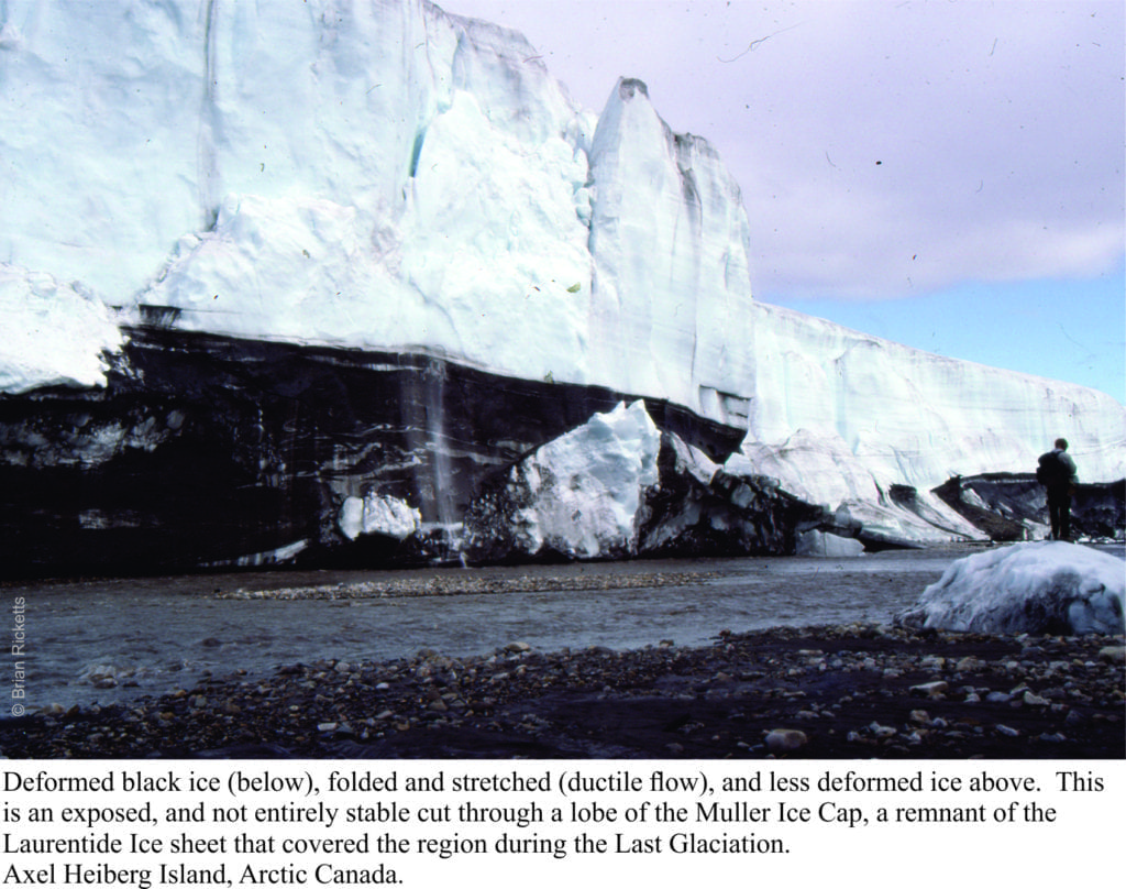
deformed ice on exposed portion of Muller Ice cap, Axel Heiberg Island.Under the influence of gravity ice will flow or creep, albeit glacially. Stand in front of a glacier or the edge of an ice sheet and if you’re patient enough, you will see it creep, inexorably. It may take a while (days, months) but like I said, be patient. Bits of ice may fall off the front (calve) but that’s more the product of gravitational instability and weakness at the exposed ice edge. If it wasn’t for the propensity to flow there would be no glaciers, and ice sheets would stand still.

Antarctic ice shelves, those thick, floating wedges and platforms of ice, are a direct consequence of ice flow. One of them, Larsen C, has been in the news of late because a very large chunk (5800 sq. km), broke off and floated away as an iceberg; the inevitable comparisons have the new iceberg (imaginatively named A68) as twice the size of Luxembourg or about the size of Delaware.  The Larsen C collapse took place in July 2017 during the polar winter, thus requiring thermal images; scientists had to wait for the summer sun to rise before getting a first-hand view of the new iceberg. Continue reading

Facebooktwitterlinkedininstagram
Facebooktwitterlinkedin

The sea level equation

Facebooktwitterlinkedininstagram

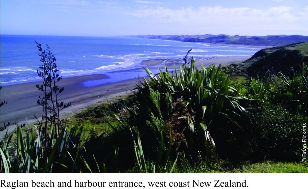
Raglan bar

Sea levels have risen and fallen countless times over geological history.  We see this in the way successive strata are arranged and in the kind of ancient environments that each sedimentary layer or group of layers represents.  For example, we may observe that layers deposited in relatively deep water are overlain by layers that indicate successively shallower conditions, then inundated once again by deeper seas.  Geologists consider cycles of sea level change like this to be the ‘norm’.  However, deciphering the causes of sea level change remains problematic; has global sea level risen or fallen (for example because of changing icecap volumes), or has the land surface and sea floor subsided or uplifted?  Or have both processes been active?  When we attempt to answer these questions, we need to remind ourselves of what processes are actually involved in changing actual and relative sea level.  This post summarizes the most common causes.   They are relevant not only for geologists trying to solve stratigraphic puzzles, but for anyone considering the effects and potential risks of changing sea levels as they take place today. Continue reading

Facebooktwitterlinkedininstagram
Facebooktwitterlinkedin

Walking to Great Barrier Island

Facebooktwitterlinkedininstagram

A short hike to the beach 20,000 years ago

The Last Glaciation began about 110,000 years ago with massive expansion of ice-sheets in northern Europe, north Asia, North America and Antarctica.  The source of water for the ice-sheets was the oceans.  Based on geological mapping, dating of glacial deposits, and other physical evidence for ice movement it has been determined that the maximum extent of glacial ice from a global perspective occurred about 20000 years ago; this is referred to as the Late Glacial Maximum or (LGM).  Mapping also indicates that global sea-level was on average about 100m -120m below present sea-level. Continue reading

Facebooktwitterlinkedininstagram
Facebooktwitterlinkedin

Sea-Level Change; Busting a Few Myths

Facebooktwitterlinkedininstagram

So you think sea level is the same everywhere!

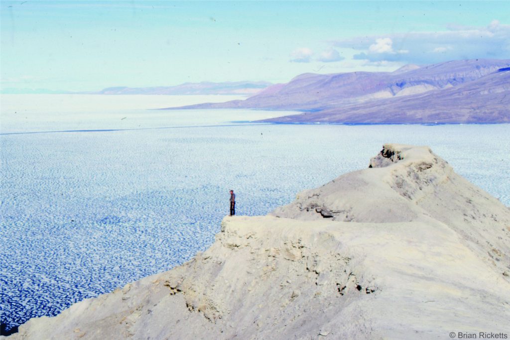
Canon Fiord, Arctic Canada

Canon Fiord, Arctic Canada

Climate change predicts that sea levels will rise at an increasingly rapid rate.  Some of NASA’s new satellite altimetry data hints that this is already happening.    There is a multitude of voices crying out for government planners to prepare for inundation of vulnerable coasts.  Small island states are particularly at risk.  Forward planning would certainly be a wise move.  If average sea level rises say a metre in the next 100-200 years many coasts will be inundated and storm surges will push farther inland.  Forward planning does make sense. Continue reading

Facebooktwitterlinkedininstagram
Facebooktwitterlinkedin

How do we know which way is up? #2 Ruffles and desiccation

Facebooktwitterlinkedininstagram

How Geologists Interpret Ancient Environments. 2 Ruffles and desiccation

Nearly all sedimentary rocks contain structures – fabrics, planes, contortions. If properly identified these sedimentary structures provide important clues to how the original sediments were deposited.

There are many different kinds of sedimentary structures formed by layers of sediment oriented at different angles, or layers that have been contorted and squished, structures formed by wetting and drying of sediment, structures formed by slip and slide, and by animals leaving tracks and traces as evidence of their activity.

All of these structures can be thought of as contributing to the architecture of sediments and sedimentary rocks.

We are going to examine two of the more common kinds of sedimentary structure – Ripples, and Mud Cracks (sometimes called Desiccation Cracks).

Continue reading

Facebooktwitterlinkedininstagram
Facebooktwitterlinkedin