Tag Archives: Cyanobacteria

Atlas of stromatolites and cryptalgal laminates

Facebooktwitterlinkedininstagram


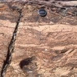
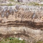
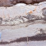
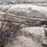
Stromatolites. The Precambrian is replete with them. In many ways they define the Precambrian, that period of earth history, about 90% of it, that set the scene for the world we currently live in – its atmosphere, hydrosphere, lithosphere, and biosphere. It’s the period when life began more than 3.4 billion years ago, taking its time (about 3 billion years) to get over that first rush of DNA replication.

The Atlas, as are all blogs, is a publication. If you use the images, please acknowledge their source (it is the polite, and professional thing to do).

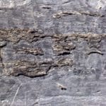
Stromatolites are the sedimentary record of that really prolonged period of geological time. Some of the oldest known, bona fide cryptalgal structures are found in the 3.4 Ga North Pole deposits. They represent fossil slime – mats of photosynthetic, prokaryotic cyanobacteria. They were responsible for producing the oxygen we, and most other life forms breath.

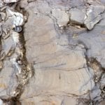
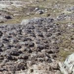
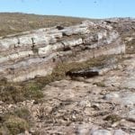
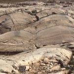
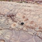
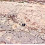
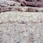
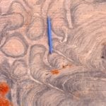
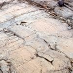
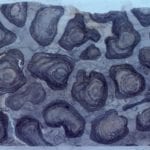
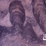
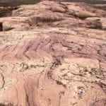
Stromatolites really came into their own by about 2.5Ga, forming extensive buildups, and reef-like structures, by slow, incremental addition, mat-by-mat, in the ancient shallow seas. Growth habits varied from broad flat domes to intricately branched columns. Stromatolite structure, shape and distribution were primarily controlled by environmental conditions such as water depth, wave and current energy, and substrate (muddy, sandy).  Glacially polished rock outcrops on Belcher Islands (where all the following images are from) show these structures in exquisite detail.

Stromatolites in outcrop commonly appear huge, as columns or domes extending vertically several metres. But their sea floor profiles, or synoptic relief during growth was low. We can visualize this when tracing individual laminae or sets of laminae (ie. the original mat surface) from one column to the next. Your average shallow shelf or platform stromatolite extended no more than a few millimeters or centimeters above the sea floor. Some large mounds, or reef-like structures had a few metres relief; but nothing like more recent coral reefs. This also means that the environmental conditions for incremental growth must have been stable for long periods of time. This needs to be kept in mind when looking at cryptalgal structures in outcrop; their apparent size can be misleading.

Check out this post for outcrop descriptions of stromatolite morphological features

This link will take you to an explanation of the Atlas series, the ownership, use and acknowledgment of images.  There, you will also find links to the other categories.

Click on the image for an expanded view, then ‘back page’ arrow to return to the Atlas.

A few publications that have a bearing on the set of images below:

Ricketts, B.D.  1983: The evolution of a Middle Precambrian dolostone sequence – a spectrum of dolomitization regimes; Journal of Sedimentary Petrology, v. 53, p. 565-596.

Ricketts, B.D. and Donaldson, J.A. 1981: Sedimentary history of the Belcher Group of Hudson Bay; Geological Survey of Canada, Paper 81-10, p. 235-254. F.A.H. Campbell, Editor

Ricketts, B.D. and Donaldson, J.A.  1989: Stromatolite reef development on a mud-dominated platform in the Middle Precambrian Belcher Group of Hudson Bay; Canadian Society of Petroleum Geologists, Memoir 13, p. 113-119.

Donaldson, J.A. and Ricketts, B.D.  1979:     Beachrock in Proterozoic dolostone of the Belcher Islands, Northwest Territories; Journal of Sedimentary Petrology, v. 49, p. 1287-1294.


The images:


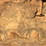
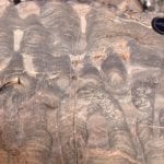
Bulbous, dolomitized stromatolites in the lower part of the outcrop become progressively more branched towards the top. The view is oblique to bedding; the surface polished by Laurentide glacial ice. McLeary Fm. Right: dashes follow the synoptic surface, which approximates the actual growing mat morphology and relief at the sea floor.  Whereas the stromatolites in outcrop appear large, at the time of growth (2 billion years ago) the sea floor would have looked vaguely dimpled or domed. Bedding-parallel stylolites have thinned the rock sequence by 10-20%.
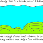
 

The cartoon refers to the synoptic surface outlined in the image above. Even though columns and dome appear in outcrop to be quite large (10s of cm to metres), their actual growth profiles at the sediment-water interface was measured in only millimetres to centimetres.


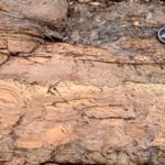
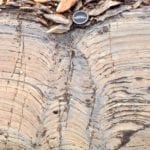
Bulbous stromatolites similar to those shown above.  The original carbonate (calcite-high Mg calcite-aragonite) has been completely replaced by dolomite.  Some of the upstanding, resistant edges are subsequent chert replacement. Image on the right shows excellent preservation of original laminae that in some cases can be traced across 2 and 3 branches. Both are oblique to bedding. McLeary Fm. Intercolumn sediment is dolomitized carbonate mud.
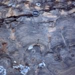
 

Stromatolite form here changes from bulbous to more digitate branching, back to bulbous. McLeary Fm.


Large, laterally extensive stromatolite domes more than 8m thick, but having synoptic relief of only a few centimetres. There were very few interruptions in growth; they probably accumulated on a subtidal shelf-platform lacking strong bottom currents. Kasegalik Fm.


Large, closely-spaced, low relief stromatolite domes; synoptic relief was 5-8cm.  Look closely at the laminae and in some you will see continuity from one dome to another, and in others discontinuities and overlaps 2-4 laminae thick. Mavor Fm.


Large stromatolite domes like those above, can transform to more digitate columns higher in the bedding unit. This probably represents subtle changes in environment, such as local bottom currents, or growth that was interrupted by storms. Mavor Fm.


Exhumed stromatolite domes on bedding, McLeary Fm. Their internal structure is similar to the domes shown above. The domes are slightly elongated, with long axis parallel to subtidal paleocurrents (determined from other sedimentary structures).  Inter-dome sediment is dolomitized carbonate mud. Hammer, centre-right.
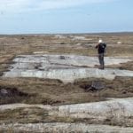


Bedding and cross-section views of subtidal platform, domal stromatolites. Synoptic relief here is a bit less than in the image above. McLeary Fm. Stromatolites in the uppermost bed are eroded, overturned, or oversteepened, probably by storm waves.


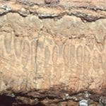
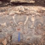
This distinctive stromatolite unit can be traced 10s of kilometres. Closely spaced vertical, digitate columns grew on a shallow subtidal platform. Columns are relatively uniform width, usually branched, with tangential laminae forming a sturdy wall. Synoptic relief was only a few millimetres. McLeary Fm.


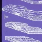
Polished slabs of the digitate stromatolites shown above. The scale on the right is centimetres. Preserved laminae are mm to sub-mm thick. The rock has been completely dolmitized, and yet delicate structure is preserved. McLeary Fm.
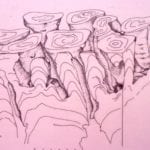
 

Isometric reconstruction of slabbed digitate stromatolites (based on several polished slabs like the one above). McLeary Fm. The (barely visible) scale is in centimetres.


Closely packed columnar stromatolites – bedding view. Raised rims on each column is due to silicification. McLeary Fm.


Several growth stages from domal stromatolites to narrower, closely-spaced, digitate columns, Mavor Fm. Intercolumn sediment is dolomitized mud. Three stylolites (top, centre, bottom) have reduced section thickness by 15-20%. Although completely dolomitized, mm and sub-mm scale laminae are well preserved.


Disruption of stromatolite columns and small domes by erosion. Rip-ups include largish mudstone slabs. McLeary Fm.


Digitate stromatolite columns in cross-section (left) and bedding (right). Dolomitiztion here has produced coarse crystalline textures that have partly obliterated outlines and laminae. Mavor Fm.


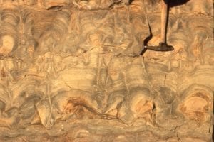
Domal, digitate, and coalescing stromatolite columns, growth habits that changed with environmental conditions or interruptions in growth (e.g. storms), McLeary Fm. Image on right has an erosional discordance at the pen tip. branching began during mat regrowth.


Radiating, digitate, branching columns. Left: the radiating cluster is a solitary buildup in surrounding flat, laminated mats. Right: The digitate cluster has been disrupted and partly eroded by crossbedded sandstone, indicating a significant change in local environmental conditions (shallow subtidal to intertidal).
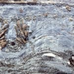
 

Domal masses with silicified, subsidiary columns growing from the margins. An erosional discordance (just below the coin) terminated growth. Kasegalik Fm.


Wavy mats give way to columnar stromatolites with cone-shaped laminae. This form has historically been called Conophyton.  McLeary fm.
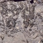
Irregularly branched columns with significant silica replacement. The white crystals are coarse, late diagenetic dolomite


Ornately branched stromatolite, a possible example of what historically was called Tungussia.  Mavor Fm.


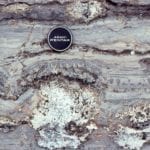
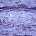
Left: Dolomite pseudomorphs of gypsum in dolarenite.  Right: Fine-grained dolarenites interbedded with carbonate mudstone (dolomite) and simple, laminated crpytalgal mats (partly silicified). Gypsum psuedomorphs (spots) are scattered throughout. A layer of algal mat and mud rip-ups is present at the lens cap. McLeary Fm.
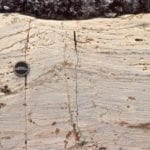
 

Teepee structures in carbonate mudstone and laminated cryptalgal mats; disruption of the mudstone slabs was probably caused by salt-gypsum expansion. McLeary Fm.


Beachrock is common in the McLeary Fm. Here, a block of dislodged beachrock (preferentially cemented dolomitic sandstone) has been overturned, as evidenced by the small, upside-down stromatolite columns.
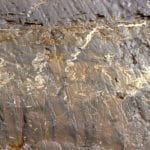
 

Molar tooth structures in dolomitic mud. Their origin has been described variously as shrinkage cracks caused by changes in salinity, CO2 gas expansion (from decaying mats?), wave loading, clathrates, and seismically-induced changes in pore pressures.  They are not worm burrows!


Subtidal to outer platform stromatolite mounds that have undergone more intense recrystallization during dolomite replacement of the original carbonate, such that original column-bulb outlines are partly obscured. Remnants of small columns are visible in the upper dome layers (right). There is a hint of coloumn or mat detachment, and possibly pisoliths in the centre. The vugs are secondary diagenetic features from dissolution of (?) sparry calcite and dolomite replacement. Tukarak Fm (immediately overlies the McLeary Fm).


Recrystallized, dolomitic mounds where the original carbonate has been replaced by one or two generations of dolomite spar. The void is lined with late diagenetic dolomite spar, and even later calcite (white crystals).  Tukarak Fm.


Microdigitate mats, here associated with grainstone. Left: mats above the dark cherty layer show at least three stages of growth, each following an episode of erosion. Mats below the chert are more simple wavy forms. The grainstone above contains numerous mud and mat rip-ups. Right: Slightly larger, but no less delicate microdigitate mats and columns, again showing evidence of erosion and regrowth. Both examples formed in intertidal to supratidal flats. McLeary Fm.
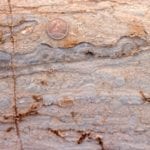
 

A coarse grainstone (completely dolomitized) containing abundant mat rip-ups, pisoliths, and a single continuous mat that has regrown over pisoliths. Subtidal to supratidal flat, McLeary Fm.


Wavy and crinkley mats, and faintly preserved microdigitate columns, show the changes in growth habit possible over a scale of millimetres to centimetres. Scale top (bottom left) is 20 mm wide. McLeary Fm.


Left: Small dome, beginning with flat laminae at the base, and successions of microdigitate columns above.  Right: Small domes capped by microdigitate columns.  Laminated mudstone above are discordant and eroded. The white, silicified masses were probably larger domal structures. McLeary Fm.
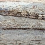
 

Partly silicified microdigitate mats overlying a pavement of edgewise lutite slabs, or beach rosettes. Grainstone above contains mat rip-ups and pisoliths. McLeary Fm.


Dolomitized carbonate mudstone and thin mats, totally disrupted, ripped up, and folded by storm surges into a supratidal flat. McLeary Fm.


Successive microdigitate columns and laminated dololutite-mat interbeds. The resistant ridges are silicified, cherty mats. McLeary Fm.


Both images show wavy mats and microdigitate columns, disrupted by supratidal desiccation, storm-loading pull-aparts, and fragmentation. The interval in the left image is capped by larger domal masses that in turn have been locally overturned. McLeary Fm.
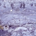
 

Bulbous to domal masses, partly disrupted and overturned, have stabilized an edgewise conglomerate (beach rosette) pavement. Slabs in the pavement are thin, probably partly lithified-cemented lutite, ripped up during earlier storm events.  McLeary Fm.


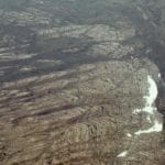
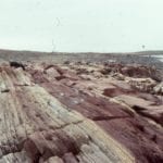
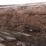
One of the more spectacular stromatolite buildups, or reefs, in the Proterozoic Mavor Formation, Belcher Group. The aerial view shows a transition from shallow subtidal, flat laminates to simple mounds, to large domes with 3-5m synoptic relief at the platform margin – slope deposits (Costello Fm) extend from the margin on the right. Smaller mounds on the left coalesce into larger mounds. Field of view along mound length is about 800m. Stratigraphic thickness is about 150m along this section of Tukarak Island.


Slightly oblique view across several large mounds and intervening troughs. The relief here is close to synoptic relief. Keep in mind the entire structure was made up of cryptalgal laminates. There were interruptions in growth, at the scale of individual mounds, evidenced by numerous discontinuity surfaces. There is little evidence for wholesale erosion, and the conclusion is that the larger mound structures accumulated below storm wave-base. Mavor Fm.


Left: View approximately along strike. Second-order mounds are nicely exposed here (by the hammer). Right: View is slightly oblique to depositional dip. Here too we can see smaller mounds superposed on the larger structure. Mavor Fm.
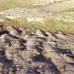
 

View down dip across smaller mounds that are superposed on the larger structures. Mavor Fm.


Cross-section through the smaller mounds (hammer right centre) showing the distinctive geometry and regularity of the laminae. There are numerous stylolites (thin dark bands) that tend to mimic the mound outline.  Synoptic relief is 20-40 cm. Mavor Fm.


Detail of the wavy and crinkley cryptalgal laminae, through a (2nd order) mound crest (left) and trough (right). The synoptic relief on any lamination is rarely more than a centimetre.
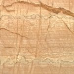
 

Flat to wavy cryptalgal laminae in a 2nd order mound, with prominent stylolites. At least 5 seams here account for about 20% loss of stratigraphic thickness. Below the upper stylolite seam is a thin layer of mat rip-ups, evidence for briefly interrupted growth. Mavor Fm.


Reconstruction of the progressive changes in mound amplitude and spacing, from shallow subtidal platform at the base (corresponds with the left side of the aerial image above), through coalescing mounds at the platform margin, to the slope deposits beyond (Costello Fm). For completeness, an example of the slope rocks is shown below.


Regular bedded (that can be traced laterally for 100s to 1000s of metres) calci-dololutite and red marls in slope deposits, outboard of the Mavor Formation platform-wide buildups-reefs. There are a few slumps and the occasional small channel filled with eroded lutite and shale. There are a few thin, graded beds, likely deposited as calci-turbidites.
 

Facebooktwitterlinkedininstagram
Facebooktwitterlinkedin

In the field: Windows into two billion year-old rocks

Facebooktwitterlinkedininstagram

My early geological education was very much New Zealand centered; the gamut of sedimentary, igneous and metamorphic rocks (there are no Precambrian rocks in New Zealand), in the context of a landmass (and attached submerged bits) still rent by active faults and erupting volcanoes. The timing was fortuitous. We were taught at the cusp of the ‘new tectonics’, sea-floor spreading, and the morphing of continental drift into plate tectonics.  The fixists were a disappearing breed; now everything was on the move, attached in some way to one tectonic plate or another, rifted, drifted, and eventually subducted. Now, the rock formations, faults (particularly the Alpine Fault), and the volcanoes, were all connected in one, all-encompassing global, plate tectonic system.  Geologically active New Zealand had a place in this grand scheme.

Admittedly, not all our professors found it easy to teach these revolutionary ideas. We would be exhorted to go and read the latest journal papers, and come back with questions – I guess this gave the teachers time to read the articles themselves. But it was an exciting time, reading the claims and counterclaims. It really was a (Thomas Kuhn) paradigm shift.

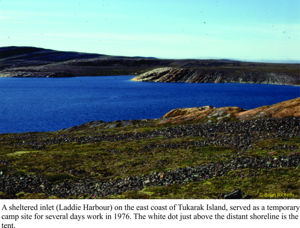
Landing on the shores of Belcher Islands (Hudson Bay) was also something of a mind warp; from a country that straddles a plate boundary, has a volcanic rift zone in central North Island, and faces a subduction zone within a stone’s throw of the east coast, to a part of the Canadian Shield where not much has happened over the last two billion years.  Perhaps that’s a bit of an exaggeration, but this prolonged period of stasis had its advantages.  The rocks, despite being about 2000 million years old, are loaded with beautifully preserved structures and fossils.  They were not cooked by metamorphism during the time they spent being buried, nor fractured beyond recognition by tectonic forces. Basically, everything was intact. Stunning.

For someone interested in deciphering ancient sedimentary environments, being parachuted into the Belchers and being told to take the rocks apart, layer by layer, sequence by sequence, was initially a tad scary; an emotional response that quickly dissipated once the measuring, observation, and interpretations had begun. On finishing the work on one set of exposures, we couldn’t wait to get to the next, and the next.

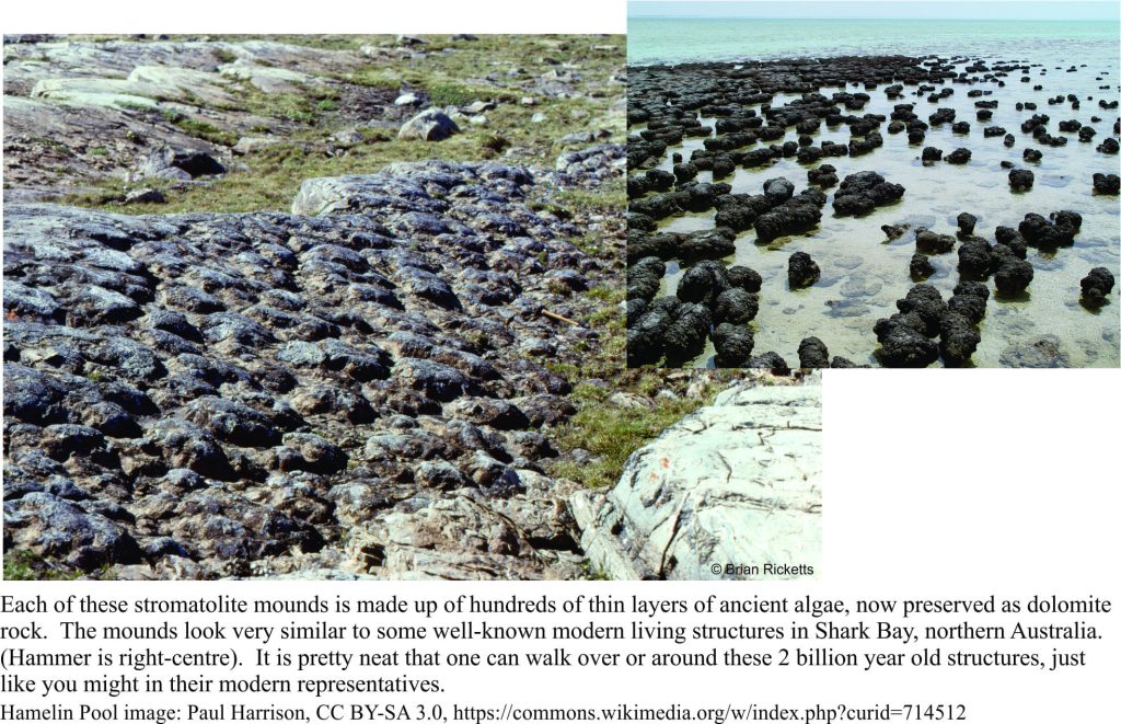
Ancient and modern stromatolite domes

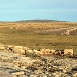
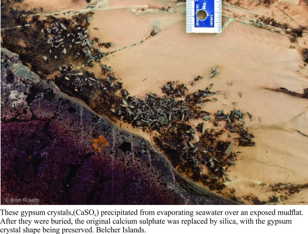
If you were to stand all the Belcher strata in a single pile, it would be almost 9 km thick. But this pile was subsequently tipped on its side. Over the eons, the rocks were eroded by rivers and scraped by ice, fortuitous levellers that provided windows into each layer. Geologists are enticed to enter these portals, at least in their mind’s eye; the rewards are huge.  We can envisage times when there were broad platforms of limestone (now all converted to the mineral dolomite), that harboured a massive biomass of primitive algae, stromatolites of all shapes and sizes; layers as thin as a fingernail, and reefs 10s of metres high. The platforms were covered by warm, seas that shoaled into tidal flats and (deserted) beaches. Some areas infrequently inundated by high tides, became desiccated; there are remnants of minerals like gypsum and halite (common salt) that attest to salty seas. Walking over rocks like these kindles the imagination; a beach stroll, waves rolling in like they have done for billions of years, or parched landscapes exposed to the full effects of sunlight uninhibited by oxygen and the UV dampening effects of ozone (the incidence of UV light must have been intense). The experience is humbling.

Gypsum (replaced by dolomite) in a Paleoproterozoic tidal-supratidal flat

However, idylls have a tendency to dissipate in the fog of time or, as was the case here, a smothering by erupting ash columns and lava flows. Now we get to walk across the tops of really ancient lava flows, around piles of pillow lavas, or along catastrophic pyroclastic flows of ash and pumice.  The earlier tropical paradise had been obliterated, but even in this volcanic brutality there is wonder.

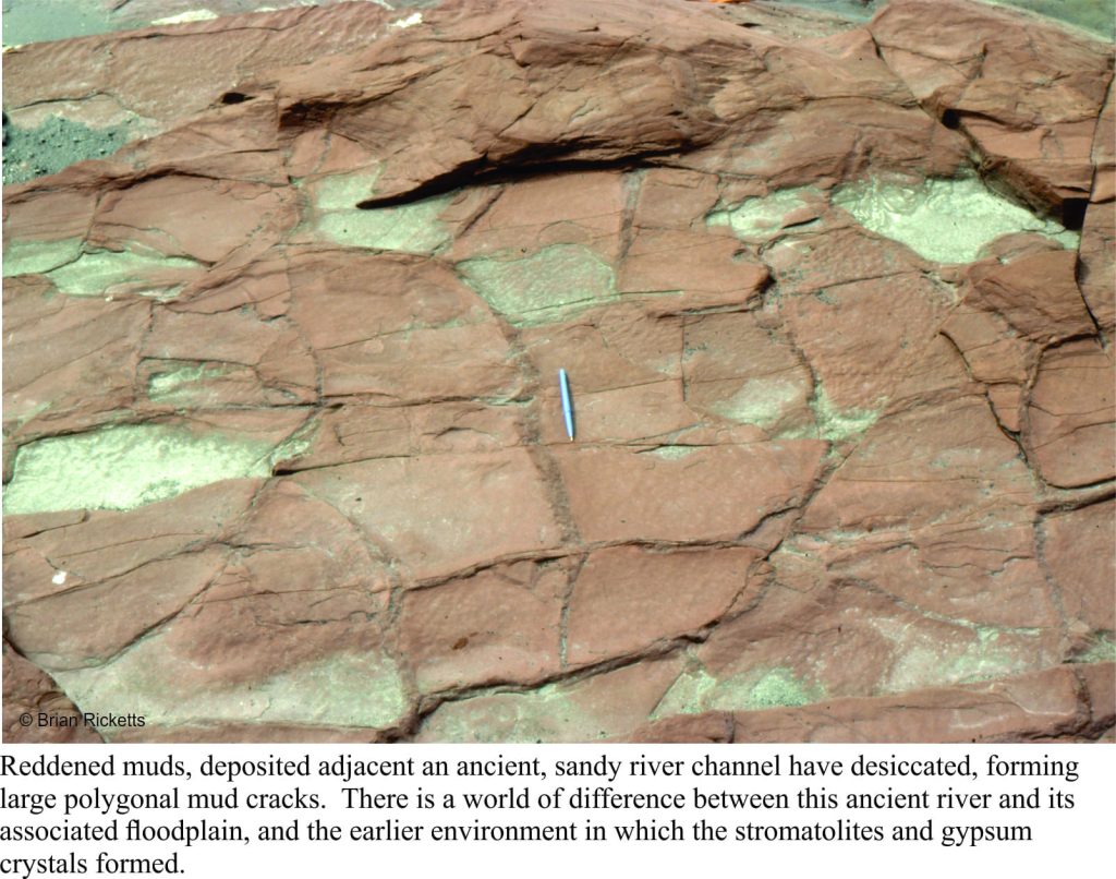
Mud cracks in a 2 billion year river deposit

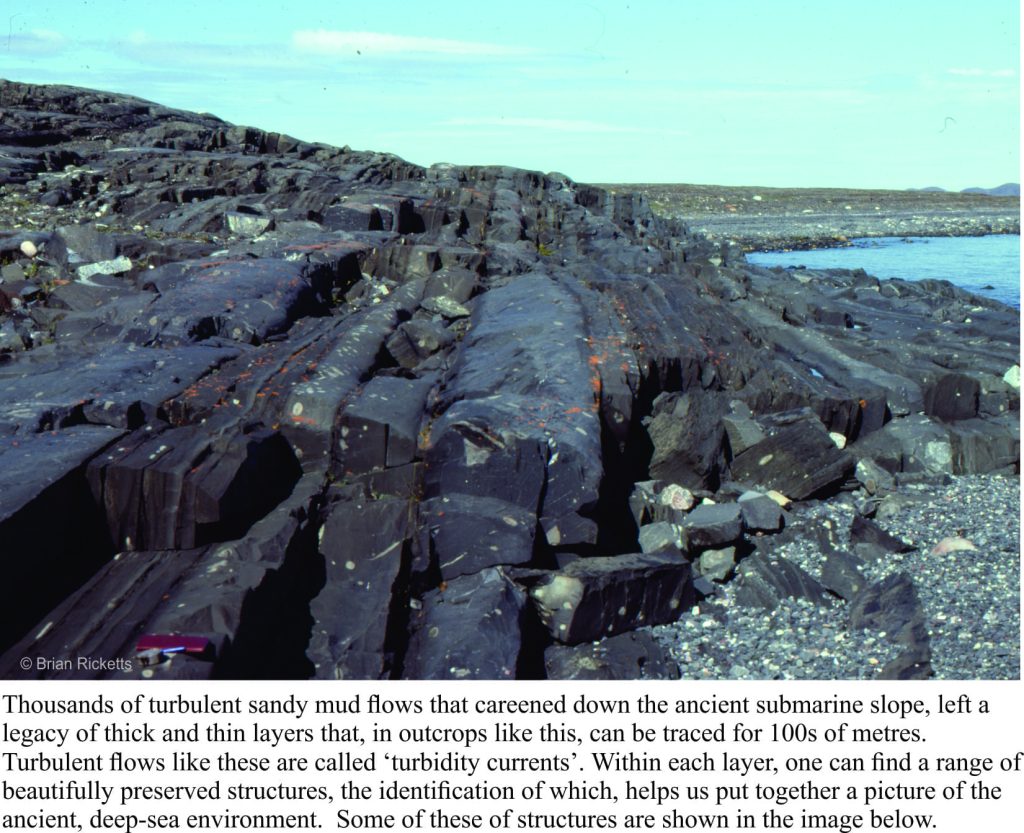
Other strata tell of deep seas fed by turbulent mud flows cascading down an ancient submarine slope, and of sandy rivers turned red by iron oxidized by the gradually increasing levels of oxygen in the ancient atmosphere (deposits like this are commonly referred to as red beds). In every layer, every rock we looked at, there were mysteries waiting to be unravelled. A geologist cannot hope to solve all such questions, but finding a solution to even one of them is incredibly satisfying.

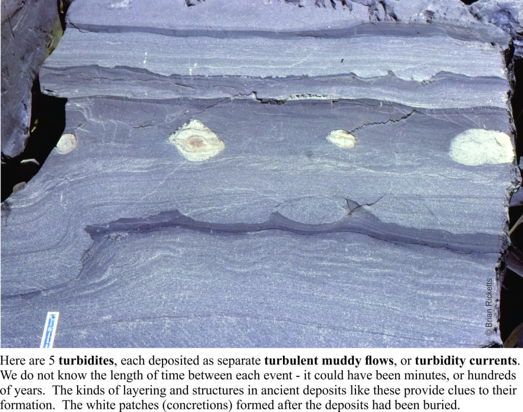
Lots of turbidites in a deep, Paleoproterozoic basin

I spent a total of 5 months in the field during the 1976-77 summers. This was not the kind of location where, if I’d forgotten to do something, I could whip back for a couple of days to sort things out. Several of my student colleagues were doing similar kinds of research in remote parts of the country – field seasons were long. Once you had arrived, you were there for the duration. And despite the sense of excitement and discovery, it was always good to get back home.

Some details of turbidite beds showing complete and partial Bouma intervals

Facebooktwitterlinkedininstagram
Facebooktwitterlinkedin

Extreme living conditions; the origin of life and other adventures

Facebooktwitterlinkedininstagram

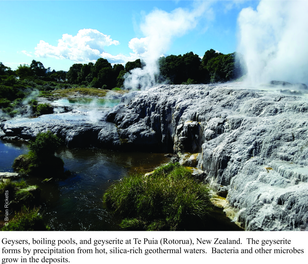
Geysers, boiling pools and mud, and geyserite precipitation from hot fluids, Rotorua, NZ

Extremophiles – life forms that live in really hazardous conditions.

Extreme events are fascinating.  Extreme sports may give us a vicarious thrill, at least until something goes awry at which point we might comment about the foolishness of the act.  Extremes in the natural world are the stuff of movies; asteroids, tsunamis, tornadoes, plagues.  Perhaps our morbid fascination with such events derives from the realization that they can be real.

Over the last 2-3 decades, science too has developed a fascination for extreme living, for creatures that happily thrive in conditions that most other life forms, including us, would find inclement.  They are extremophiles, life forms like bacteria, algae and small critters that can endure extremes of temperature, pressure (e.g. deep sea black smokers), radioactivity, darkness, low levels of oxygen, high acidity or alkalinity, and even lack of water. The variety of extreme environments in which these life forms have evolved is, from a scientific perspective, quite stunning in that it provides us with many different analogues for our quest to understand the origin of life on earth, and whether life can exist on other planets.  A few examples are noted below. Continue reading

Facebooktwitterlinkedininstagram
Facebooktwitterlinkedin

Biomarkers; forensic tools for hydrocarbon fingerprinting

Facebooktwitterlinkedininstagram

I like a good detective thriller. Danish, Norwegian, Swedish and Britain’s BBC networks have produced some quality shows over the past few years.  Forensics is usually equated with ‘who dunnit?’ but science also makes use of forensic-like tools to help unravel mysteries and solve problems.  This post looks at certain chemical compounds found in hydrocarbon deposits.  The compounds are specific, complex organic molecules called biomarkers.  Biomarkers provide scientific fingerprints of oil deposits, that help scientists and oil explorationists decipher the where, when and how such deposits formed, and environmental scientists monitoring the migration and degradation of spilled oil. Continue reading

Facebooktwitterlinkedininstagram
Facebooktwitterlinkedin

The Ancient Earth 7. The Art of the Stromatolite

Facebooktwitterlinkedininstagram

Algae, Fossil Slime and Organic Precambrian Art

Stromatolites are the earliest physical life forms on earth; they were the precursors to pretty well everything you see living today. There may be indications of earlier life forms preserved as chemical signatures, but as fossils go, something you can see and touch, stromatolites are it. The oldest stromatolites known are from Western Australia – about 3400 million years old. These ancient structures were built by primitive algae and bacteria, aka cyanobacteria, sometimes referred to as blue-green algae. Clearly life had already evolved to something quite complex by 3400 million years ago.

Continue reading

Facebooktwitterlinkedininstagram
Facebooktwitterlinkedin

Ancient earth. 3 The air we breath; how our atmosphere evolved

Facebooktwitterlinkedininstagram

Our modern land sea and air. But what was it lie 4 billion years ago?

The really ancient earth: How our atmosphere evolved

Take a deep breath. Savour it.  One of the few absolutes of our physical world (that we probably haven’t looked after as well as we might have).  This post continues the theme “The Really Ancient Earth” by looking at what we know about the origin of our atmosphere; some of the evidence and some of the hypotheses.  What was it like on day 1 (about 4600 million years ago) and how did it evolved into our breath-taking world today? Continue reading

Facebooktwitterlinkedininstagram
Facebooktwitterlinkedin

Ancient earth. 1 A time-line for the first 4 billion years

Facebooktwitterlinkedininstagram

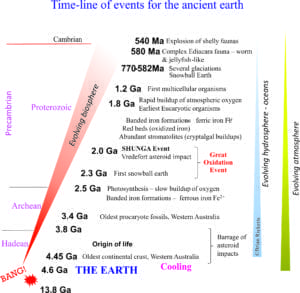
A time-line for the first 4 billion years of Earth history

A time-line for Earth's first 4 billion years

The Cambrian, that relatively brief period in geological history (40 odd million years) was witness to one of the most amazing series of biological events in the entire history of the Earth; the rapid, almost explosive appearance of marine critters with preservable shells and skeletons – a real first.  Trilobites are probably the best known fossils from that period, but there are also some pretty weird and wonderful looking soft-bodied creatures (one famous fossil locality is the Burgess Shale near the town of Field, British Columbia).  Most animal life today can track its origin to those early life forms.  These events began about 540 million years ago (how easy these numbers roll off the tongue, or pen).  But we also know that our Earth is pretty close to 4600 million years old (4.6 billion – How old is Earth); in other words there is almost 4 billion years, a humongous period of time in which, seemingly, not much happened.  4000 million years worth of boredom!  This period is know as the “Pre” Cambrian, or Precambrian.  Most Precambrian events did take place pretty slowly, but these events also determined the kind of world we now live in: the air we breath, the oceans and rivers, the biosphere and indeed life itself, all originated and evolved over this, the deepest of geological time. Continue reading

Facebooktwitterlinkedininstagram
Facebooktwitterlinkedin