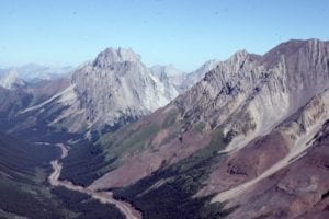
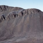
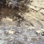
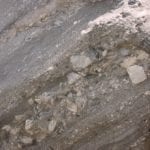
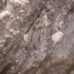
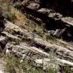
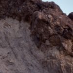
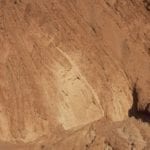
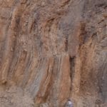
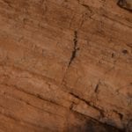
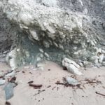
This category is a bit different to the other Atlas collections. It does not refer to a specific environmental state, like fluvial or submarine fan, but to erosion, deposition, and deformation associated with active tectonics. This includes uplift, folding, faulting, the erosion of landscapes created by each of these, and subsequent deposition. Syn-tectonic deposits may be constrained in time to specific events (e.g. faulting), or to periods of mountain building, or other modes of deformation along plate boundaries. Classic examples include the Molasse of central Europe, and basins outboard of the Cordilleran fold and thrust belt in western Canada.
Most of the images here are inferred to have been associated with specific tectonic events. Conglomerate facies are common in fluvial and alluvial settings in close proximity to active faults and uplifts (Eurekan Orogeny in the Canadian Arctic, Alberta Foreland Basin, evolving transform faults in Ridge Basin, and active extension – strike slip faulting in Death Valley), to deep marine turbidites that were also influenced by active (Waitemata) basin tectonics. There’s also a few shots of coastal exposure of an active accretionary prism on New Zealand’s east coast.
This link will take you to an explanation of the Atlas series, the ownership, use and acknowledgment of images. There, you will also find links to the other categories.
Click on the image for an expanded view, then ‘back page’ arrow to return to the Atlas.
The images:
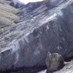
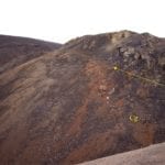
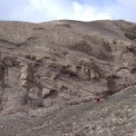
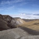
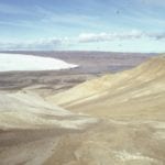
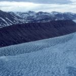
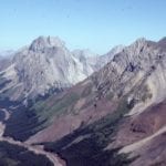
Diabase sills intrude Jurassic through Permian successions in the Arctic Sverdrup Basin. Unroofing of these older rocks during the Eurekan Orogeny (climaxing about mid Eocene) provided large volumes of coarse sediment to alluvial fans, braided and high sinuosity rivers. In these two examples the Stolz Thrust is at the base of slope, with tectonic transport to the right (east). Here, the older rocks have been thrust over the syntectonic deposits (Buchanan Lake Fm.). Axel Heiberg Island.
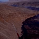
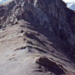
Stolz Thrust at Geodetic Hills (the site of the Middle Eocene Fossil Forest). Left: Diabase sills are thrust over syntectonic conglomerate. Right: Upturned and sheared Triassic rocks in the hanging wall; the fault trace is located in the depression (upper left).
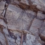
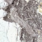 Detail of shear and boudinage of Triassic sandstone-mudstone in Stolz Thrust zone, Geodetic Hills. Location is the right image above.
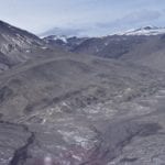 Stolz Thrust, with Permo-Triassic rocks in the hanging wall (including slivers of anhydrite), over middle Eocene syntectonic conglomerate and sandstone (Buchanan Lake Fm.) North of Whitsunday Bay, Axel Heiberg Island. Coarse-grained sediment was shed from the uplifted older rocks, and subsequently over-ridden by continued thrusting.
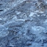 Intensely deformed anhydrite in the hanging wall of Stolz Thrust, Axel Heiberg Island. It is likely anhydrite debris was shed with the coarse sediment, but did not survive the first cycle of transport and deposition.
Left: Syntectonic conglomerate (Buchanan Lake Fm.) over-thrust by Ordovician limestone (that also contributed debris to the conglomerate), Franklin Pierce Bay, Ellesmere Island. Right: Syntectonic conglomerate-sandstone braided river deposits that accumulated outboard of faulted uplifts. Boulder Hills, Ellesmere Island.
Panorama of Jurassic-Triassic rocks above Stolz Thrust over syntectonic conglomerate at Geodetic Hills (Buchanan Lake Fm.), Axel Heiberg Island (left), and a compositional unroofing sequence in conglomerate (right). The lighter coloured deposits near the base of conglomerate were derived from Jurassic sandstones. the progressive change upward to darker brown conglomerate reflects access to deeper, older Triassic sandstone and diabase sills in the eroding hanging wall.
Aerial views of Middle Eocene, syntectonic alluvial fan – braidplain conglomerate outboard of thrusted uplands. Left: Emma Fiord, Ellesmere Island. Right: Geodetic Hills, Axel Heiberg Island.
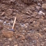
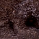 Small thrust fault through proximal, bouldery, syntectonic conglomerate, Geodetic Hills, Axel Heiberg Island. Hammer lower center. Boulders to 50cm wide.
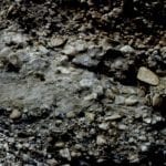
Syntectonic boulder-cobble (mostly diabase) proximal alluvial fan deposits, with scattered sand wedges, Geodetic Hills, Axel Heiberg Island. At the time of deposition, they would have been close to the uplifted source rocks.
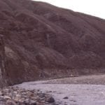 Thick, crudely bedded debris flows and sheet flood alluvial fan conglomerates, probably close to sediment source. Diabase clasts up to a metre wide. Middle Eocene, Geodetic Hills, Axel Heiberg Island.
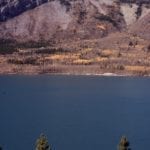 Lower Paleozoic carbonates have been thrust over Upper Cretaceous foreland basin strata (approximately east-dipping bedding visible at top right), Kananaskis, Alberta Basin. The U. Cretacous units accumulated during an earlier phase of thrusting, farther west, and then subsquently over-ridden.
Left: older foreland basin deposits (Kootenay Gp), overlain by conglomerate, shed from a renewed phase of thrusting and folding (resistant units at top) – The Lower Cretaceous Cadomin Fm. interpreted variously as braidplain, alluvial fan, and pediment. Right: Trough crossbedded, pebbly sandstone, Cadomin Fm.
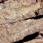 Interbedded conglomerate-sandstone, mostly as planar tabular crossbeds. Cadomin Fm. Mt Allan, Kananaskis.
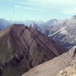 Lower Cretaceous foreland basin strata involved in a later phase of thrusting. View is to the north of Highwood Pass. Lewis Thrust charges down the valley beyond. Front Ranges, Alberta Foreland basin.
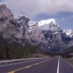
Iconic views of the Front Ranges, Kananaskis. Left: Upturned Lower Paleozoic carbonates and sandstones, and in the valley, recessive Jurassic-Lower Cretaceous foreland basin strata. Right: Probably one of the most photographed fold pairs in Canada – Lewis Thrust terminates at the base of this fold pair. Kananaskis Highway.
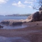 The northern segment of Lower Miocene Waitemata Basin (Auckland) developed atop a moving slab of obducted lithosphere – the Northland Allochthon. The Allochthon, now fragmented, consists of ophiolite (including possible seamounts), marls, terrigenous clastics and limestones. Allochthon rocks, like those shown here (Algies Bay) commonly are intensely deformed. Movement of the Allochthon is implicated in some of the syn-sedimentary – weak rock deformation in Waitemata Basin itself. This view shows thrusted marls, north of Algies Bay.
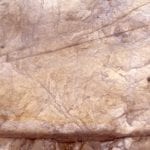
Examples of intense shearing in Northland Allochthon marls and mudstones. Left: multiple generations of fracturing. Right: Boudinage and shear of siderite nodules in the mudrocks (above). Algies Bay, Auckland.
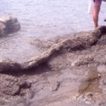 Sedimentary dyke through Northland Allochthon mudrocks. The dyke contains fragments of Lower Miocene Waitemata Basin sandstone and mudstone, attesting to the dynamic relationship between the two. The dyke in turn is fractured by later deformation. Algies Bay, Auckland.
Examples of soft and weak-rock deformation – slumping in Waitemata Basin turbidites, possibly dynamically linked to Northland Allochthon deformation. Left: Thrust-folds near Waiwera. Right: Recumbent isoclinal folds, and rotated boudins in sandstone, Army Bay.
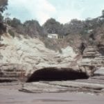 Intensely folded and faulted turbidites above an undeformed glide plane, south of Orewa Beach, possibly dynamically linked to Northland Allochthon deformation.
Violin Breccia, Ridge Basin, California. fault plane talus, and or debris flows, adjacent San Gabriel Fault, a Late Miocene splay of the evolving San Andreas transform. Breccia clasts are mainly gneiss. The breccia extends many km along the fault strand, but only about 2km down-dip into the basin.
Left: Lacustrine shoreface – delta sandstone, and stringers of Violin Breccia. Right: detail of the left image, showing crossbedded sandstone and grit-pebble sized material from the Violin Breccia. Ridge Basin, California.
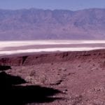
Left: down dip view of dissected Panamint Range alluvial fan, Death Valley. The coarse fan deposits reflect erosion of the uplifted Panamint metamorphic core complex. The fan canyon-head is shown in the right image.
Hole in the Wall, Death Valley. Here, lacustrine sands and muds contain sporadic debris flows (resistant unit). Right image shows debris flow scours. They accumulated during Miocene-Pliocene extension that resulted in Death Valley basin subsidence. Subsequent deformation took place as the Furnace Creek strike-slip fault created an en echelon stack of fan deltas and associated lacustrine deposits.
Hole in the Wall, Death Valley. Discordant packages of lacustrine shoreface and prodelta mudstone-sandstone, and pebble conglomerate. The debris flow in the images above can be traced from the lower right to the central part of the cliff.
Hole in the Wall, Death Valley. Lacustrine silt and clay, in prodelta or basin floor. The right image shows small grit-filled scours from periodic influxes down the prodelta slope.
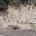
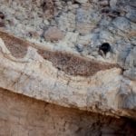
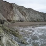
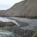
Coastal exposure of an active accretionary prism, Waimarama, eastern North Island. The accretionary prism here consists of telescoped slivers of sea-floor sediment, above Hikurangi subduction zone. Left: Thrusts and associated shearing in bentonitic mudrocks, sandstones, and marls (arrows), looking north. Right: Looking south at similar lithologies, and the modern expression of sedimentation associated with the deformation – a cobble beach.
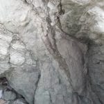
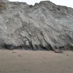 Closer view of thrusts and intensely sheared mudstone-sandstone melange, Waimarama, eastern North Island.
Sheared and stretched sandstone (left), and sheared bentonitic melange (right), within thin, accretionary prism thrust sheets, Waimarama, eastern North Island.
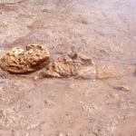
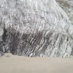 A lozenge of resistant cherty mudstone within the softer bentonitic melange, detached during thrusting, Waimarama, eastern North Island.

