Tag Archives: Caledonian orogeny

Bits of North America that were left behind

Facebooktwitterlinkedininstagram

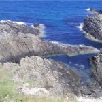
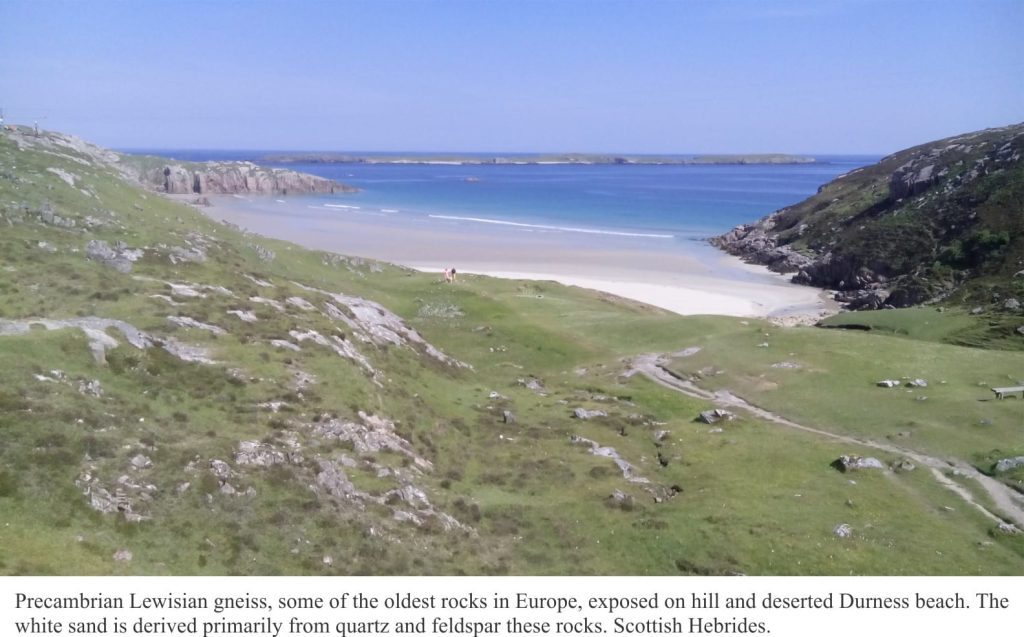
Precambrian Lewisian gneiss exposed at Durness, Scottish Hebrides.

How bits of ancient North America (Laurentia) were left behind in the Scottish Hebrides.

The jigsaw puzzle of continents and oceans, the ground beneath you, the seas beyond, even the weather you enjoy or endure, are governed largely by plate tectonics. This grand mechanism creates plates along mid-ocean volcanic ridges, then proceeds to push them down the throat of subduction zones. Plates collide, tearing at each other’s crust. Volcanic hiccups, earthquakes, and crustal dismemberment are all part of a tectonic plate’s stressful life. And occasionally in this mad nihilist rush (after all, millimeters per year is pretty quick), bits are left behind.

The landscapes of north Scotland and northwest Ireland are underpinned by rocks that once belonged to North America, or at least an ancient version of it. As geological puzzles go, they are iconic; here James Hutton unraveled the problems of deep time, and Peach and Horne sliced the ancient crust into moveable slabs. The rocks are part of the Caledonian Orogen, a mountain chain that formed from tectonic plate collisions more than 400 million years ago, stretching from Scandinavia to Scotland-Ireland, east Greenland, and the Appalachians of eastern USA and Canada.

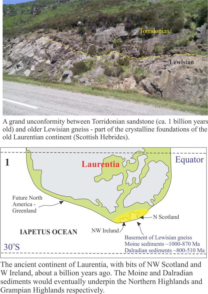
The choice of a starting point for a story like this is a bit arbitrary because continental and oceanic plates, and the plate tectonic mechanisms that propel them across the globe, date back at least one billion years, possibly earlier. For convenience, this tale begins on the ancient continent of Laurentia about a billion years ago; Laurentia was an amalgam of North America, Greenland, and (what would become) north Scotland and northwest Ireland tucked along its eastern margin [The first four figures here are modified from an excellent technical summary of this important period in Earth’s history, by David Chew and Rob Strachan, their Figure 1, in Geological Society of London, Special Paper 390, pages 45-91, 2014].

Unconformity between Lewisian Gneiss and Proterozoic Torridonian sandstone

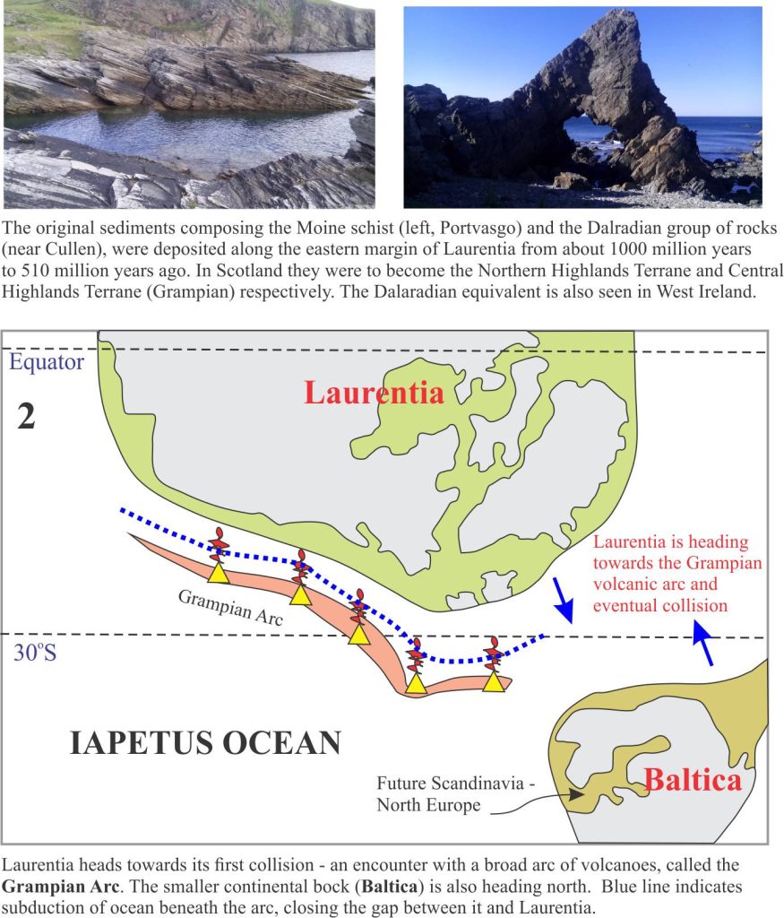
Three groups of rock that underpin the Scottish Highlands, originally formed along the eastern Laurentian margin. Lewisian gneisses. Some as old as 2.7 billion years, were part of the basement foundations of Laurentia (Panel 1 above). Two major groups of sedimentary rock were also deposited along the eastern margin – the Moine group of rocks, that beneath the Northern Highlands we now see as metamorphic rocks, originally formed as sediment shed from the ancient continent about 1000 to 870 million years ago. Dalradian metamorphic rocks that now form the Grampian Highlands also originated as sediments and volcanics from about 800 to 510 million years – metamorphism occurred much later.

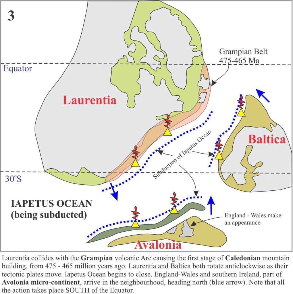
For the next few million years Laurentia moved south (south of the Equator!) towards, it is hypothesized, a volcanic arc, similar perhaps to modern Ring of Fire volcanic arcs that rim the Pacific Ocean (Panel 2). Collision between Laurentia and the Grampian Arc initiated the first phase of Caledonian mountain building 475-465 million years ago (Panel 3).

Several other events were also taking place at this time. Laurentia itself was rotating anticlockwise. Two smaller continental plates appeared on the scene: Baltica (that would later become Scandinavia and north Europe), and Avalonia (whence the rest of England, Wales and south Ireland resided), both were migrating north towards Laurentia. The intervening ocean, the Iapetus, was gradually shrinking as its crust was devoured down at least three subduction zones (Panel 3).

The Iapetus eventually closed; some slivers of oceanic crust (called ophiolites) were scraped off and incorporated into the Caledonian mountain complex, but most of this once-grand ocean basin was consumed in Earth’s grand recycling depot.

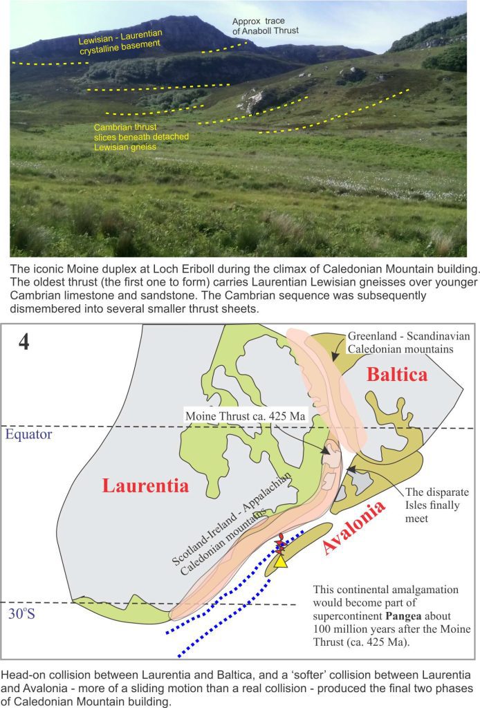
Baltica and Laurentia were involved in head-on collision around 435-425 million years (Panel 4). The Moine thrust, one of the defining ‘moments’ of tectonic dislocation and metamorphism in the Caledonian, developed during this interval. In contrast Avalonia’s approach was more oblique and it appears this smallish continental fragment slid past Laurentia. Avalonia’s legacy is that south England, Wales and south Ireland were now stitched firmly to their northern cousins. This plate tectonic assemblage has withstood tempests, bolides, and glaciations for the last 400 million years; 2000 years of geopolitical ructions are insignificant in comparison.

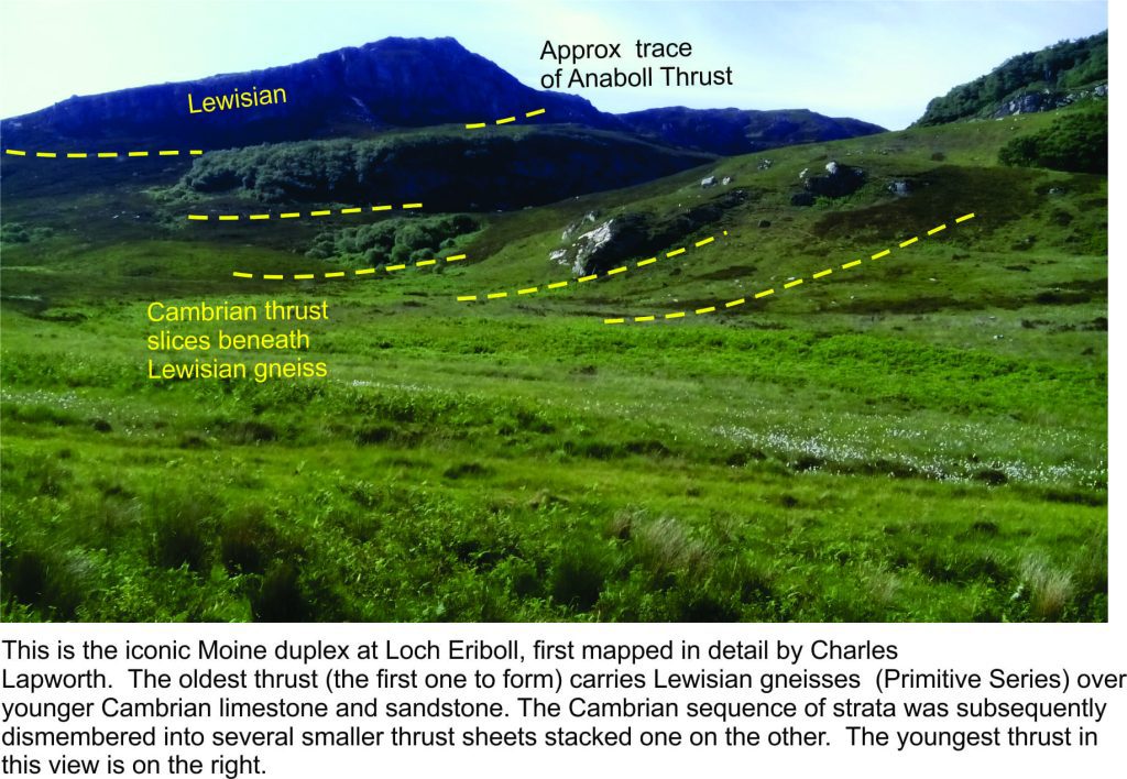
Moine duplex at Loch Eriboll, thrusting during the Caledonian Orogeny

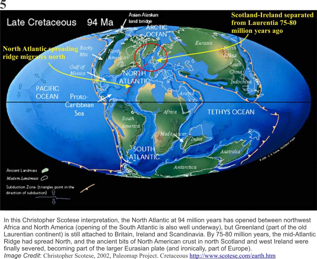
The amalgamation of Laurentia, Baltica and Avalonia eventually became part of a much larger continental mass, a super continent called Pangea that included Africa, South America, Antarctica, Australia and Asia (and of course, New Zealand). This amalgamation was well underway 335 million years ago. Pangea began to break apart about 175 million years ago, a separation that over the next 175 million years would give us our most recent plate tectonic configuration of ocean basins and continents (Plate 5).  Break up of Pangea took place in several stages, but the event that is of interest here took place about 75-80 million years ago. [Chris Scotese has created an excellent animation of these events, set to nice music].

Plate reconstruction for 94 Ma

Atlantic Ocean had its beginnings during the early stages of Pangea break up, 175 million years ago. Atlantic Ocean’s expansion is centered along a submarine spreading ridge of volcanism (that today stretches from Iceland almost to Antarctica). The spreading ridge migrated northwards, which means that new ocean floor was also being created incrementally northwards. During the early stages of North Atlantic Ocean expansion, the British Isles were still firmly attached to the old Laurentia margin.  But by 80 million years the locus of spreading had moved west of Britain and Ireland (Plate 5), and it was at this point that the ancient roots of north Scotland and Ireland became divorced from North America and Greenland – a decree absolute.

The period of Caledonian mountain building is one of the most studied in the geological community (at least two centuries worth, and 100s of 1000s of scientific papers), much of it undertaken before plate tectonics was discovered in the mid-1960s. Nevertheless, plate tectonics theory has provided a more global context, and a more rational, mechanistic approach to solving the myriad geological complexities.

I recently visited some of these rocks in the Scottish Hebrides and Connemara – and yes, there is complexity at every level of observation. The story I have presented is simplified – perhaps woefully so. But even a simple rendition can promote understanding. I’d like to think so.

Facebooktwitterlinkedininstagram
Facebooktwitterlinkedin

The Moine Thrust: An idea that unravelled mountains

Facebooktwitterlinkedininstagram

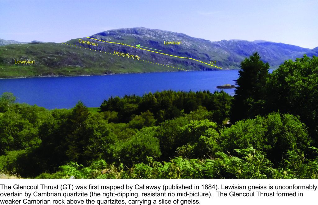
Glencoul Thrust

Preamble
I first heard about the Moine Thrust (northwest Scotland) during my undergraduate studies at Auckland University. Our department structural geology guru spoke of it with a kind of reverence – “the principles of thrust faulting discovered in the Scottish Hebrides provide us with the tools to unravel the history of mountain belts. At some time in your career you must visit this iconic geological treasure”. It’s taken 48 years, but here I am, courtesy of my good friend and colleague, Randell Stephenson (Aberdeen University). The Moine – Old Red Sandstone unconformity at Portskerra, Lewisian gneisses and Moine schists near Tongue and Durness, and the Moine Thrust, complete with duplexes and mylonites at Eriboll, Glencoul, and Knocken Crag. And a quick chat with bronzed Ben Peach and John Horne.

My structural geology mentor would be pleased, but might have quipped “what took you so long?”


There have been times in the history of geology when a simple explanation of a complex problem has not only been proven correct – it has revolutionized the way we think about earth processes. The horizontal (or nearly so) transport of thick slabs of the Earth’s crust over large distances is one such problem. We now know that the movement of panels of rock takes place along faults – thrust faults, and that mountain belts past and present owe their existence to a process we refer to as thrusting. The discovery of thrust faults in the latter part of the 19th century is an intriguing tale with two interwoven threads: a scientific thread of astute geological observation and field mapping in the Scottish Hebrides that led to the formulation of a revolutionary idea, and the tension among members of the professional geological fraternity who were confronted not only with a complicated scientific problem, but also had to contend with professional arrogance and institutional bias.

The beginning of such a story is not always easy to pin-point, but we’ll start with one of its main characters, Roderick Murchison, a Scottish geologist who counted among his acquaintances, Adam Sedgwick, Charles Lyell, and Charles Darwin. His forté was the Silurian System (now known to be about 444 – 419 million years old). The Scottish Hebrides contain some of the oldest rocks in Europe – highly metamorphosed Precambrian schists and gneisses as old as 3.1 billion years. In the 18th and 19th centuries they were referred to as the ‘Primitive’ series; they now are collectively called the Lewisian. The Primitives are overlain by younger rocks, including fossiliferous Cambrian sandstones and limestones, but in places these younger rocks are in turn overlain by slices of Primitive metamorphic rocks (Lewisian). Herein lies a fundamental conundrum; the oldest Primitives should not overlie younger fossiliferous rocks. Murchison, during his field excursions in the late 1850s, recognised this sequence of strata, but determined that the Primitives were not as old as previously thought, and in fact were younger than the fossil-bearing rocks.

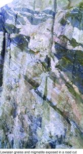
Road cut of Lewisian gneiss and migmatite, Scottish Hebrides

James Nicol, another Scot, a Fellow of the Geological Society of London, and clearly a better field geologist than Murchison, continued the Hebridean researches and discovered that there is a significant break in the stratigraphy, in particular between the fossiliferous beds and the primitive metamorphic rocks. In other words, Murchison was incorrect in his interpretation that the whole sequence of strata continued, one group of rocks upon the other, in an unbroken sequence.  It seems Murchison took exception to this, and for Nicol it became a case of dodging slings and arrows from the gentrified professionals.

Enter Archibald Geikie, well known in Victorian geological circles (eventually sporting a knighthood, and directorships of both the Scottish and British Geological Surveys). Geikie’s primary task in conducting his own field work was to verify Murchison’s version of the story (published 1861). He did just that by ignoring, as a recent paper by John Dewey and colleagues suggests, some basic geological and stratigraphic principles (in fact Dewey et al. refer to Geikie as a Murchison “acolyte” and “sycophant” – it doesn’t get more denigrating than that in scientific circles).

The Murchison view prevailed for a few years until James Callaway, in the late 1870s-80s, conducted some detailed mapping in the Glencoul area, and discovered that a slab of primitive rocks (Lewisian gneiss) had been carried over younger limestones, and that there was a definite discordance between the two sequences marked by highly deformed and fractured rock. About the same time, Charles Lapworth mapped in detail similar rocks around Loch Eriboll, and he too found primitive schists discordantly overlying younger limestones and sandstones (the discordances in both areas are now known to be part of the Moine Thrust).

Not to be outdone, Geikie, who by then was director of the British Geological Survey and who probably had the last say in anything geological, charged some of his geologists to map the Assynt area in detail (of course Lapworth and Callaway had already done this). Unfortunately for Geikie, his team confirmed the conclusions of Lapworth and Callaway. In what is now a classic in geological literature, Ben Peach and John Horne in 1884, and later in 1907, concluded that the Primitive rocks had indeed been tectonically pushed over the younger strata. They coined the term “thrust” for this process. Geikie, in an about face, also published this same conclusion in 1884, but made little or no reference to the previous (correct) interpretations of Nicol, Lapworth, or Callaway. The main thrust, and the one that caused all the discord, is the Moine Thrust. It stretches almost 200km along northwest Scottish Highlands.

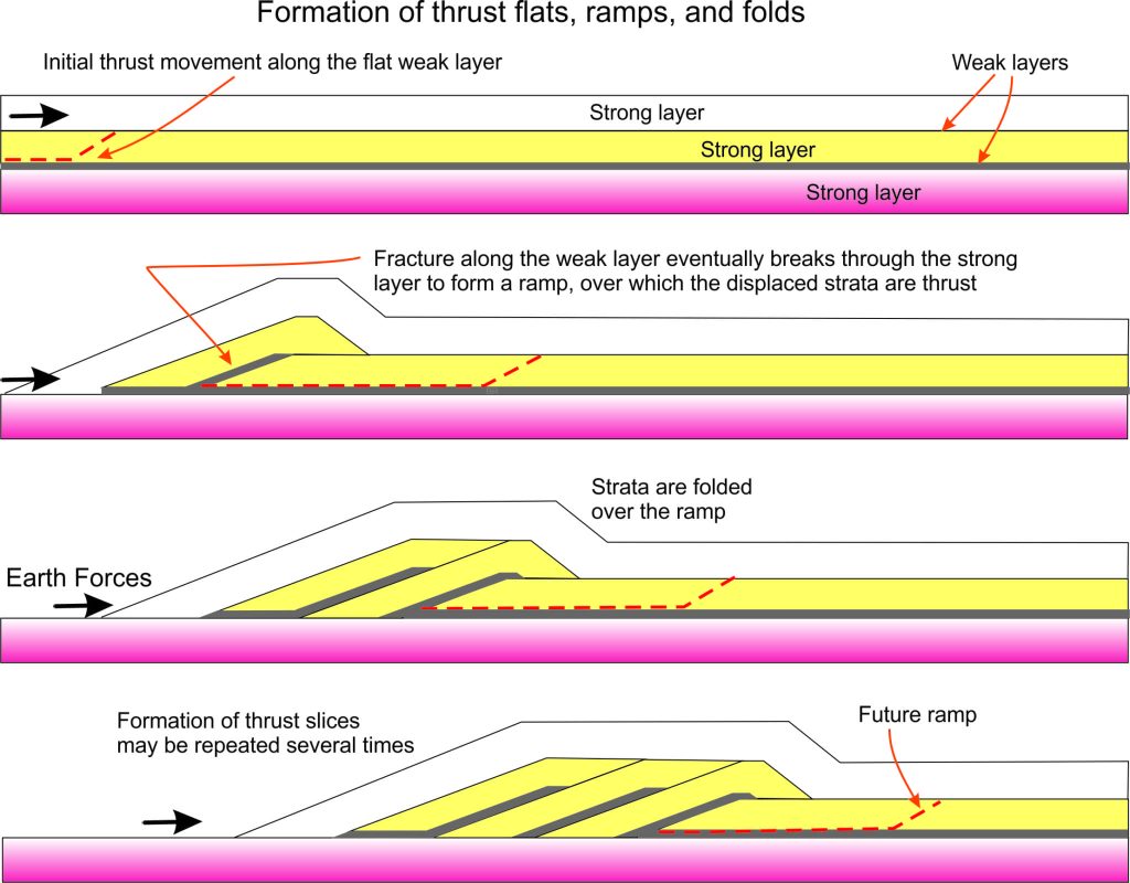
Our understanding of thrust faults and the processes of thrusting has advanced over the decades since the opus of Peach and Horne. The basic geometric relationships are shown in the cartoon below. Fundamental to the formation of thrust faults are ‘pushing’ forces that act roughly horizontally. Prior to the late 1960s – 1970s the existence of such forces were problematic for earth scientists; there was no obvious large-scale mechanism that could generate them. But the advent of plate tectonic theory, based as it is on the surface-parallel movement of great slabs of the Earth’s crust and mantle, helped solve this dilemma. Particularly helpful in plate tectonic theory are the gargantuan horizontal and oblique forces that are generated when continental plates collide.

Formation of thrust flats, ramps and folds

As the cartoon shows, a thrust fault will form when the pushing forces acting on the crust exceed the strength of weak rock layers. Rock failure, in the form of a ramp, allows the moving panel of strata (which may be 100s of metres thick) to ride up the ramp and thence across a relatively flat surface. The thrust sheet is commonly folded over the ramp. If the pushing forces continue, a second thrust fault may form beneath the first, resulting in a second panel of strata that carries, piggy-back style, the first thrust panel.  This process can be repeated several times, such that the end-product is a stack of thrust sheets, one on top of the other, 100s to 1000s of metres thick. Such stacks are commonly called duplexes. The culmination of this process is a mountain belt.

One of the main identifying traits of thrusting is the repetition of strata: older rocks structurally imposed over younger rocks, that in turn are overlain by younger rocks etc. etc. For Murchison and all those who followed, this was the fundamental problem.  Lapworth recognised this at Loch Eriboll, where several thrust panels are stacked one upon the other. Peach and Horne referred to it as a “zone of complication”. Ancient Lewisian gneiss was emplaced in the topmost thrust panel, and beneath this is a repetition of much younger Cambrian sandstone and limestone.  This is a classic example of a thrust duplex.

Moine thrust duplex at Loch Eriboll, Scottish Hebrides

Callaway’s mapping in the Glencoul area showed what has become another classic example of thrust repetition. From the lake shore, Lewisian gneiss is unconformably overlain by Cambrian quartzites (quartz-rich sandstones) and related sedimentary rocks; this is a stratigraphic contact, albeit one in which a great deal of time is missing. However, the gneisses and their overlying Cambrian rocks reappear above the Cambrian strata; the contact here is the Glencoul Thrust (part of the Moine Thrust complex).

Glencoul Thrust

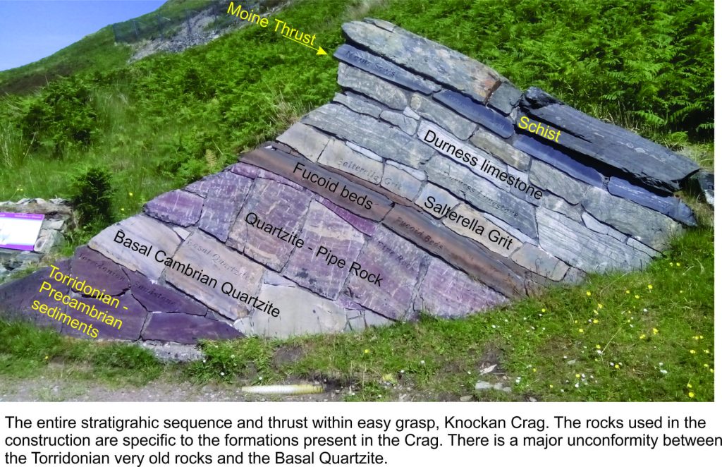
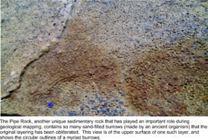
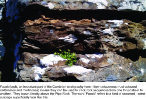
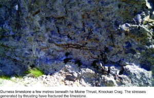
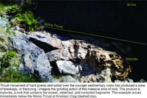
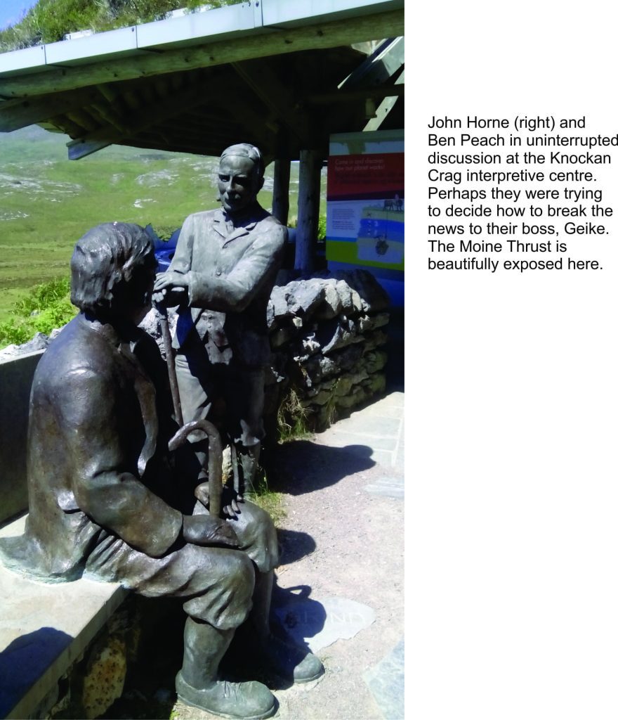
The iconic stratigraphic section and exposure of the Moine Thrust at Knockan Crag is designated a Geo-Heritage Site. Peach and Horne, bronzed and looking on approvingly, point the way to a short hike that takes one through the key elements of the Cambrian stratigraphy to the Moine Thrust and overlying panel of ‘Primitive schist’.  The thrust occurs above the Durness Limestone where there are excellent examples of mylonite, rock that was ground up and fractured as the thrust fault formed – giving us some insight into the massive forces that generated these structures.

Presentation of the thrust stratigraphy at the visitor centre, Knockan Crag. Scottish Hebrides


(Click on the images below for a larger view of Knockan Crag stratigraphy)


Horne and Peach havng a conversation, visitor centre Knockan Crag

The Moine Thrust was an integral part of a protracted period of mountain building from 475 to 405 million years ago, when three continental plates collided as the intervening Iapetus Ocean was consumed by subduction: Laurentia (now North America and Greenland), Baltica (Scandinavia and northern Europe), and Avalonia (southern England and east Newfoundland).  The ancient mountain chain is called the Caledonides, the Roman name for all those unruly Celts. Remnants of these once lofty peaks can be traced from Scandinavia to northwest Scotland and Ireland, eastern Greenland, and the Appalachians of eastern North America.

Our understanding of the Caledonides and mountain belts in general, took a great leap forward with the field work of Nicol, Lapworth and Callaway; the icing on this thrust-cake was provided by Peach and Horne. This story, like many others in the history of science, is interwoven with personal feuds and institutional bias. Arguing against accepted wisdom is always fraught. It is worth remembering the trials of the folk who wage, in their search for truth, against the establishment. So, the next time you put your finger on a thrust fault, spare a thought for those whose common sense and sound scientific reasoning ultimately prevailed.


Facebooktwitterlinkedininstagram
Facebooktwitterlinkedin

Atlas of the Dalradian from Scotland and Ireland

Facebooktwitterlinkedininstagram

Dalradian rocks and structures

The Atlas, as are all blogs, is a publication. If you use the images, please acknowledge their source (it is the polite, and professional thing to do).

The Dalaradian, a 15+km-thick sequence of metasediments and metavolcanics occupies a broad swath through central Scotland. This is the Grampian Terrane, a patch of rock that originally accumulated on the Late Precambrian – early Paleozoic margin of the ancient continent Laurentia, washed by the equally ancient Iapetus Ocean. The Grampian Terrane is now sandwiched between two crustal-scale sutures: Great Glen Fault in the north, and the Highland Boundary Fault. Dalradian rocks overlie Laurentian basement.

Dalradian polyphase deformation, metamorphism, and syn- and post-kinematic intrusions have been the subject of intense study, conjecture and debate since the 1800s. In 1893 George Barrow published his discovery of a coherent metamorphic zonation in the Dalradian sequence, that ever since has promoted theoretical concepts of crustal processes such as pressure-temperature effects during burial, elucidation of structural complexities, and exhumation of deep crustal realms.  Barrovian metamorphism and deformation took place during the late Cambrian – Ordovician Grampian Orogeny, an early phase of Caledonian mountain building during closure of the Iapetus, and collision between Laurentia and an oceanic island arc.

Below are some images taken during a recent visit to Macduff and Portsoy (coastal Moray Firth, Banffshire, Scotland), and Connemara, County Galway, Ireland.

This link will take you to an explanation of the Atlas series, the ownership, use and acknowledgment of images.  There, you will also find links to the other Atlas categories.

Some useful references:

B.E. Leake, 1986. The geology of SW Connemara, Ireland: A fold and thrust Dalradian and metagabbroic-gneiss complex. J Geological Society of London, v.143, p. 221-236.

D.M. Chew and R.M. Strachan, 2015. The Laurentian Caledonides of Scotland and Ireland. Geological Society of London Special Publication 390, p. 45-91

Banffshire coast – an excursion – introduction to geology. British Geological Survey, 2015


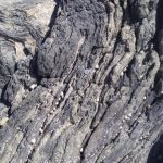
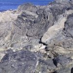
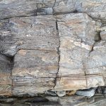
Macduff: On the coast near the old swimming pool, thick bedded psammites, possibly crossbedded, with thinner intervals of pelite-shale, with a suggestion of ripple, despite the garnet-zone metamorphism. There is some penetrative fabric here, but not as intense as that seen along the Portsoy coast. An excellent Cullen Skink can be sampled in any of the local cafes in the nearby town of Cullen.


Massive bedded psammites and thin interlayered pelitic rocks. Bedding is well preserved, despite the relatively high grade metamorphism. There are hints of crossbedding. Cullen.


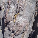
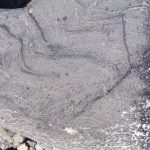
Thin bedded and laminated pelites with interleaved lenses of coarser-grained lithologies, possibly rippled.  Macduff.


Massive bedded psammites with internal discordant contacts resembling crossbeds. Macduff.


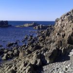
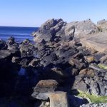
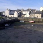
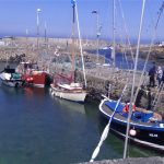
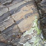
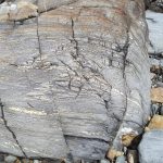
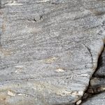
Portsoy (about 5km east of Cullen). The old harbour here was constructed in the 17th century and has stood the test of time and North Sea storms. Stone blocks (mostly psammite) in the original harbour walls were oriented vertically.  Dalradian outcrop (from the disused swimming pool west of the village, to East Point) are part of the Portsoy Shear Zone. Kyanite-zone metamorphism produced well developed micaceous foliation; folding and cleavage records 3 or 4 stages of deformation.  Post-tectonic pegmatites intrude the sequence. The first set of images are west Portsoy near the disused swimming pool. The second set is along a coastal transect towards East Point.


Blocks of psammite were aligned vertically in the old Portsoy harbour walls because it was thought at the time of construction, that this configuration would be more stable. It seems to have worked.


Elsewhere, house and wall construction used the more familiar horizontal block-stone style of construction.


Portsoy west (near the old swimming pool)


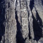
Views west of Portsoy. Large mullions in quartzite are clearly visible in the left image. Here, fold axes are steeply plunging (approximately north).


Another view of the mullions – located between the disused swimming pool and Portsoy village. (focus mot brilliant in this image – it was a very windy day)


Shearing in interlayered psammites-pelites has disrupted  the earlier foliation and folding.


A patch of reasonably coherent foliations and small, recumbent, isoclinal folds and boudinage.


Folding in thin bedded psammites-pelites and limestone (fold axes here are almost horizontal). Folds In the right image have been sheared.


Foliated and folded, thin bedded psammites.  This exposure is very close to the two images immediately above; here the fold axes have been rotated.


Detail of shearing and stretching of small-scale folds.


Tension fractures in bedded psammite.


Portsoy east

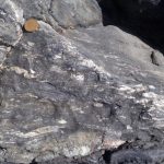
Foliated psammites, steep-dipping cleavage, and some shearing.


Small-scale folds in thin bedded psammite-pelite sequence


Left: folded psammites and boudinage of thicker limestone (light grey). Right: Small-scale folds in thin bedded psammite-pelite.


Small-scale folding and boudinage in laminated pelite-limestone.


Post-shear pegmatite dyke in sheared psammites (near East Point)


Clifden coast, Connemara

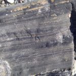
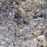
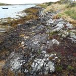
The Sky Coastal route west of Clifden. The Dalradian here is part of the Connemara Metamorphic Complex and is a continuation of that seen in Scotland. It contains quartzites, schists, marbles and amphibolites.  The outcrops shown here are primarily strongly foliated schists with a later phase of tight, isoclinal folding.


Left: the open Atlantic coast; Right, one of several estuaries, home to small fishing villages,


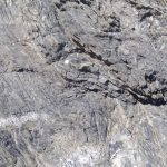
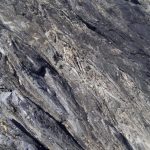
Strongly foliated and folded amphibolites exposed in the shore platform opposite Omey Island


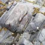
Small-scale, recumbent, isoclinal folds


Small-scale folding, near Cleggan Harbour, NW of Clifden. Note the small thrusts near the center of the left image.


Facebooktwitterlinkedininstagram
Facebooktwitterlinkedin