Tag Archives: Grampian highlands

Bits of North America that were left behind

Facebooktwitterlinkedininstagram

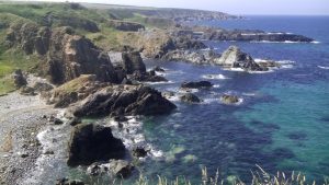
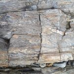
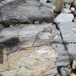
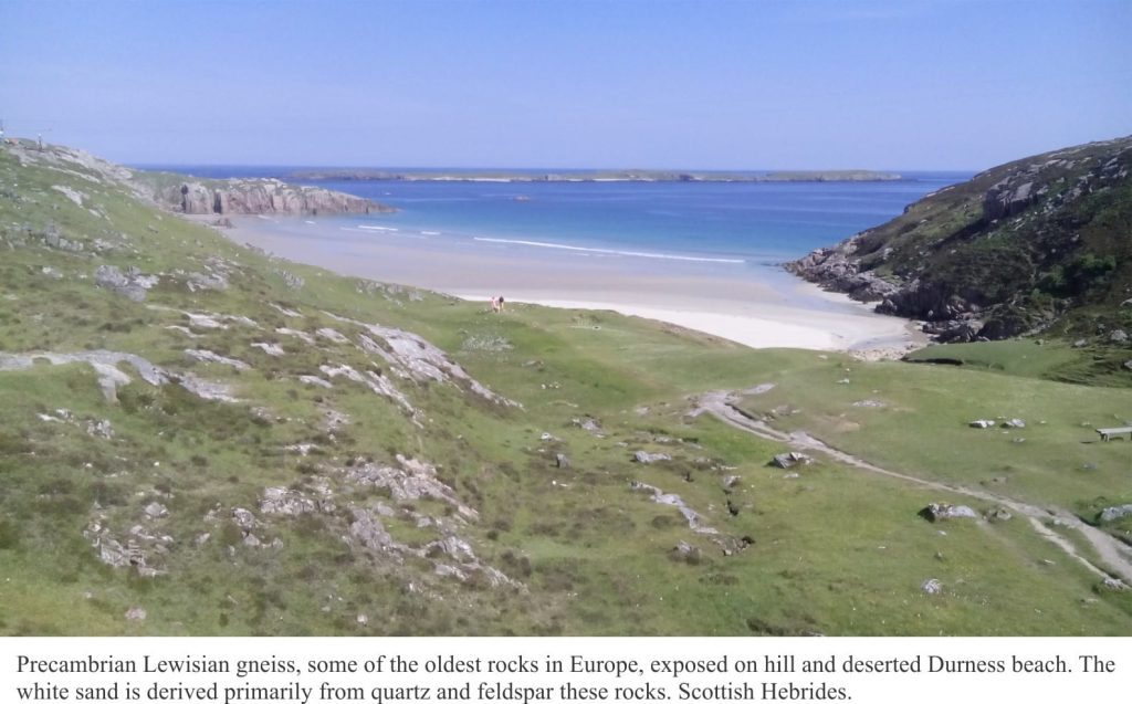
Precambrian Lewisian gneiss exposed at Durness, Scottish Hebrides.

How bits of ancient North America (Laurentia) were left behind in the Scottish Hebrides.

The jigsaw puzzle of continents and oceans, the ground beneath you, the seas beyond, even the weather you enjoy or endure, are governed largely by plate tectonics. This grand mechanism creates plates along mid-ocean volcanic ridges, then proceeds to push them down the throat of subduction zones. Plates collide, tearing at each other’s crust. Volcanic hiccups, earthquakes, and crustal dismemberment are all part of a tectonic plate’s stressful life. And occasionally in this mad nihilist rush (after all, millimeters per year is pretty quick), bits are left behind.

The landscapes of north Scotland and northwest Ireland are underpinned by rocks that once belonged to North America, or at least an ancient version of it. As geological puzzles go, they are iconic; here James Hutton unraveled the problems of deep time, and Peach and Horne sliced the ancient crust into moveable slabs. The rocks are part of the Caledonian Orogen, a mountain chain that formed from tectonic plate collisions more than 400 million years ago, stretching from Scandinavia to Scotland-Ireland, east Greenland, and the Appalachians of eastern USA and Canada.

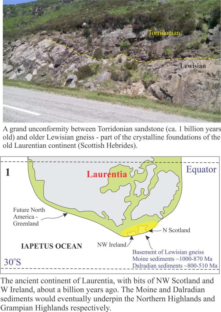
The choice of a starting point for a story like this is a bit arbitrary because continental and oceanic plates, and the plate tectonic mechanisms that propel them across the globe, date back at least one billion years, possibly earlier. For convenience, this tale begins on the ancient continent of Laurentia about a billion years ago; Laurentia was an amalgam of North America, Greenland, and (what would become) north Scotland and northwest Ireland tucked along its eastern margin [The first four figures here are modified from an excellent technical summary of this important period in Earth’s history, by David Chew and Rob Strachan, their Figure 1, in Geological Society of London, Special Paper 390, pages 45-91, 2014].

Unconformity between Lewisian Gneiss and Proterozoic Torridonian sandstone

Three groups of rock that underpin the Scottish Highlands, originally formed along the eastern Laurentian margin. Lewisian gneisses. Some as old as 2.7 billion years, were part of the basement foundations of Laurentia (Panel 1 above). Two major groups of sedimentary rock were also deposited along the eastern margin – the Moine group of rocks, that beneath the Northern Highlands we now see as metamorphic rocks, originally formed as sediment shed from the ancient continent about 1000 to 870 million years ago. Dalradian metamorphic rocks that now form the Grampian Highlands also originated as sediments and volcanics from about 800 to 510 million years – metamorphism occurred much later.

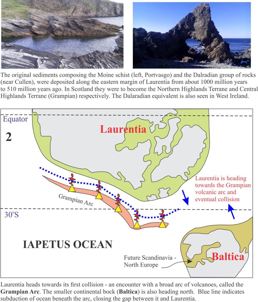
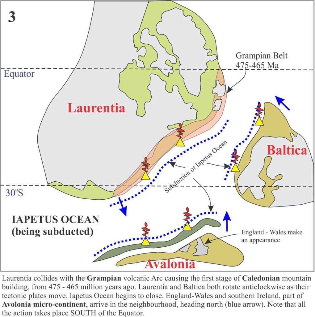
For the next few million years Laurentia moved south (south of the Equator!) towards, it is hypothesized, a volcanic arc, similar perhaps to modern Ring of Fire volcanic arcs that rim the Pacific Ocean (Panel 2). Collision between Laurentia and the Grampian Arc initiated the first phase of Caledonian mountain building 475-465 million years ago (Panel 3).

Several other events were also taking place at this time. Laurentia itself was rotating anticlockwise. Two smaller continental plates appeared on the scene: Baltica (that would later become Scandinavia and north Europe), and Avalonia (whence the rest of England, Wales and south Ireland resided), both were migrating north towards Laurentia. The intervening ocean, the Iapetus, was gradually shrinking as its crust was devoured down at least three subduction zones (Panel 3).

The Iapetus eventually closed; some slivers of oceanic crust (called ophiolites) were scraped off and incorporated into the Caledonian mountain complex, but most of this once-grand ocean basin was consumed in Earth’s grand recycling depot.

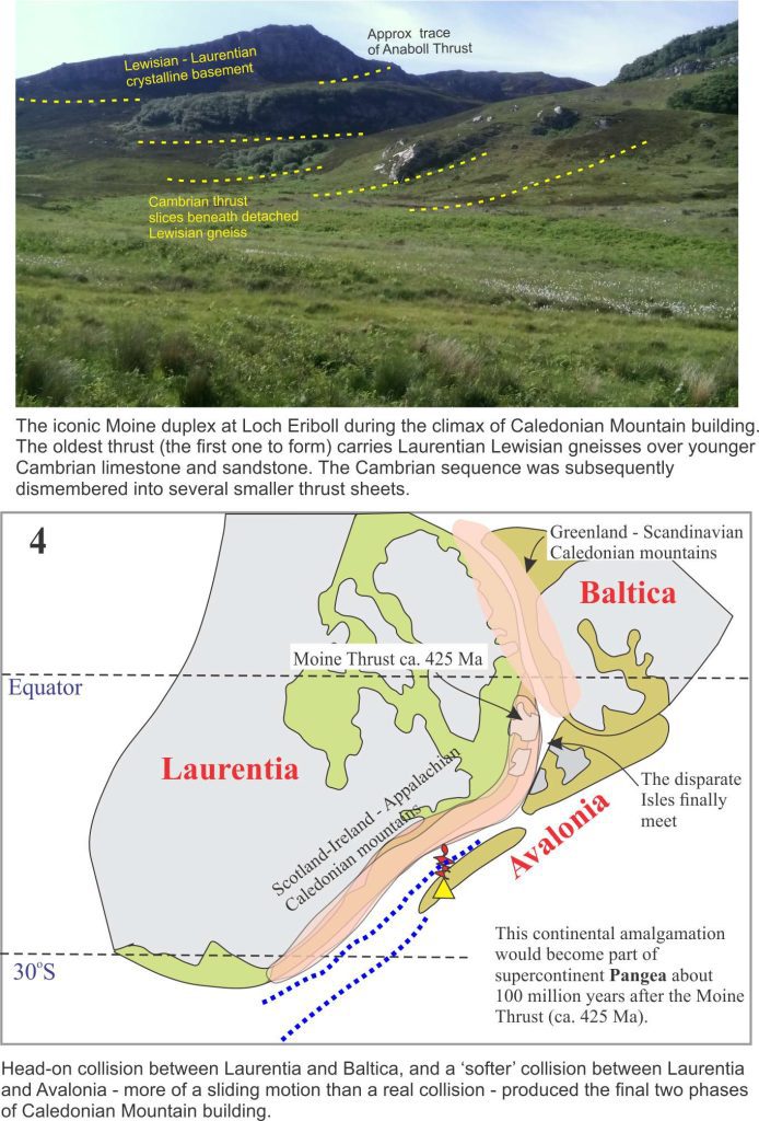
Baltica and Laurentia were involved in head-on collision around 435-425 million years (Panel 4). The Moine thrust, one of the defining ‘moments’ of tectonic dislocation and metamorphism in the Caledonian, developed during this interval. In contrast Avalonia’s approach was more oblique and it appears this smallish continental fragment slid past Laurentia. Avalonia’s legacy is that south England, Wales and south Ireland were now stitched firmly to their northern cousins. This plate tectonic assemblage has withstood tempests, bolides, and glaciations for the last 400 million years; 2000 years of geopolitical ructions are insignificant in comparison.

Moine duplex at Loch Eriboll, thrusting during the Caledonian Orogeny

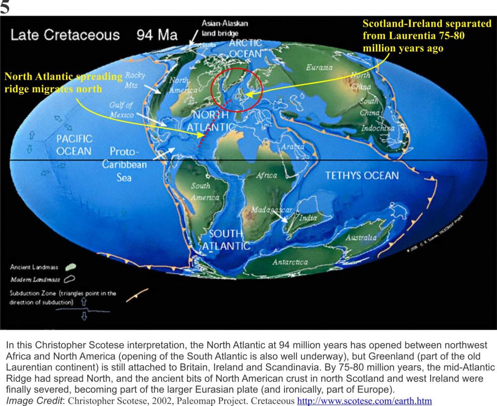
The amalgamation of Laurentia, Baltica and Avalonia eventually became part of a much larger continental mass, a super continent called Pangea that included Africa, South America, Antarctica, Australia and Asia (and of course, New Zealand). This amalgamation was well underway 335 million years ago. Pangea began to break apart about 175 million years ago, a separation that over the next 175 million years would give us our most recent plate tectonic configuration of ocean basins and continents (Plate 5).  Break up of Pangea took place in several stages, but the event that is of interest here took place about 75-80 million years ago. [Chris Scotese has created an excellent animation of these events, set to nice music].

Plate reconstruction for 94 Ma

Atlantic Ocean had its beginnings during the early stages of Pangea break up, 175 million years ago. Atlantic Ocean’s expansion is centered along a submarine spreading ridge of volcanism (that today stretches from Iceland almost to Antarctica). The spreading ridge migrated northwards, which means that new ocean floor was also being created incrementally northwards. During the early stages of North Atlantic Ocean expansion, the British Isles were still firmly attached to the old Laurentia margin.  But by 80 million years the locus of spreading had moved west of Britain and Ireland (Plate 5), and it was at this point that the ancient roots of north Scotland and Ireland became divorced from North America and Greenland – a decree absolute.

The period of Caledonian mountain building is one of the most studied in the geological community (at least two centuries worth, and 100s of 1000s of scientific papers), much of it undertaken before plate tectonics was discovered in the mid-1960s. Nevertheless, plate tectonics theory has provided a more global context, and a more rational, mechanistic approach to solving the myriad geological complexities.

I recently visited some of these rocks in the Scottish Hebrides and Connemara – and yes, there is complexity at every level of observation. The story I have presented is simplified – perhaps woefully so. But even a simple rendition can promote understanding. I’d like to think so.

Facebooktwitterlinkedininstagram
Facebooktwitterlinkedin

Atlas of the Dalradian from Scotland and Ireland

Facebooktwitterlinkedininstagram

Dalradian rocks and structures

The Atlas, as are all blogs, is a publication. If you use the images, please acknowledge their source (it is the polite, and professional thing to do).
The Dalaradian, a 15+km-thick sequence of metasediments and metavolcanics occupies a broad swath through central Scotland. This is the Grampian Terrane, a patch of rock that originally accumulated on the Late Precambrian – early Paleozoic margin of the ancient continent Laurentia, washed by the equally ancient Iapetus Ocean. The Grampian Terrane is now sandwiched between two crustal-scale sutures: Great Glen Fault in the north, and the Highland Boundary Fault. Dalradian rocks overlie Laurentian basement.

Dalradian polyphase deformation, metamorphism, and syn- and post-kinematic intrusions have been the subject of intense study, conjecture and debate since the 1800s. In 1893 George Barrow published his discovery of a coherent metamorphic zonation in the Dalradian sequence, that ever since has promoted theoretical concepts of crustal processes such as pressure-temperature effects during burial, elucidation of structural complexities, and exhumation of deep crustal realms.  Barrovian metamorphism and deformation took place during the late Cambrian – Ordovician Grampian Orogeny, an early phase of Caledonian mountain building during closure of the Iapetus, and collision between Laurentia and an oceanic island arc.

Below are some images taken during a recent visit to Macduff and Portsoy (coastal Moray Firth, Banffshire, Scotland), and Connemara, County Galway, Ireland.

This link will take you to an explanation of the Atlas series, the ownership, use and acknowledgment of images.  There, you will also find links to the other Atlas categories.

Some useful references:

B.E. Leake, 1986. The geology of SW Connemara, Ireland: A fold and thrust Dalradian and metagabbroic-gneiss complex. J Geological Society of London, v.143, p. 221-236.

D.M. Chew and R.M. Strachan, 2015. The Laurentian Caledonides of Scotland and Ireland. Geological Society of London Special Publication 390, p. 45-91

Banffshire coast – an excursion – introduction to geology. British Geological Survey, 2015


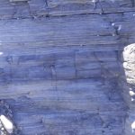
Macduff: On the coast near the old swimming pool, thick bedded psammites, possibly crossbedded, with thinner intervals of pelite-shale, with a suggestion of ripple, despite the garnet-zone metamorphism. There is some penetrative fabric here, but not as intense as that seen along the Portsoy coast. An excellent Cullen Skink can be sampled in any of the local cafes in the nearby town of Cullen.


Massive bedded psammites and thin interlayered pelitic rocks. Bedding is well preserved, despite the relatively high grade metamorphism. There are hints of crossbedding. Cullen.


Thin bedded and laminated pelites with interleaved lenses of coarser-grained lithologies, possibly rippled.  Macduff.


Massive bedded psammites with internal discordant contacts resembling crossbeds. Macduff.


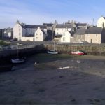
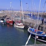
Portsoy (about 5km east of Cullen). The old harbour here was constructed in the 17th century and has stood the test of time and North Sea storms. Stone blocks (mostly psammite) in the original harbour walls were oriented vertically.  Dalradian outcrop (from the disused swimming pool west of the village, to East Point) are part of the Portsoy Shear Zone. Kyanite-zone metamorphism produced well developed micaceous foliation; folding and cleavage records 3 or 4 stages of deformation.  Post-tectonic pegmatites intrude the sequence. The first set of images are west Portsoy near the disused swimming pool. The second set is along a coastal transect towards East Point.


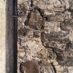
Blocks of psammite were aligned vertically in the old Portsoy harbour walls because it was thought at the time of construction, that this configuration would be more stable. It seems to have worked.


Elsewhere, house and wall construction used the more familiar horizontal block-stone style of construction.


Portsoy west (near the old swimming pool)


Views west of Portsoy. Large mullions in quartzite are clearly visible in the left image. Here, fold axes are steeply plunging (approximately north).


Another view of the mullions – located between the disused swimming pool and Portsoy village. (focus mot brilliant in this image – it was a very windy day)


Shearing in interlayered psammites-pelites has disrupted  the earlier foliation and folding.


A patch of reasonably coherent foliations and small, recumbent, isoclinal folds and boudinage.


Folding in thin bedded psammites-pelites and limestone (fold axes here are almost horizontal). Folds In the right image have been sheared.


Foliated and folded, thin bedded psammites.  This exposure is very close to the two images immediately above; here the fold axes have been rotated.


Detail of shearing and stretching of small-scale folds.


Tension fractures in bedded psammite.


Portsoy east

Foliated psammites, steep-dipping cleavage, and some shearing.


Small-scale folds in thin bedded psammite-pelite sequence


Left: folded psammites and boudinage of thicker limestone (light grey). Right: Small-scale folds in thin bedded psammite-pelite.


Small-scale folding and boudinage in laminated pelite-limestone.


Post-shear pegmatite dyke in sheared psammites (near East Point)


Clifden coast, Connemara

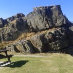
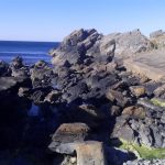
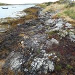
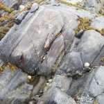
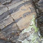
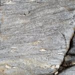
The Sky Coastal route west of Clifden. The Dalradian here is part of the Connemara Metamorphic Complex and is a continuation of that seen in Scotland. It contains quartzites, schists, marbles and amphibolites.  The outcrops shown here are primarily strongly foliated schists with a later phase of tight, isoclinal folding.


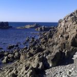
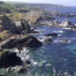
Left: the open Atlantic coast; Right, one of several estuaries, home to small fishing villages,


Strongly foliated and folded amphibolites exposed in the shore platform opposite Omey Island


Small-scale, recumbent, isoclinal folds


Small-scale folding, near Cleggan Harbour, NW of Clifden. Note the small thrusts near the center of the left image.


Facebooktwitterlinkedininstagram
Facebooktwitterlinkedin