Tag Archives: karst

Mineralogy of carbonates; Karst

Facebooktwitterlinkedininstagram

Karst depicted in late 14th century chinese painting

Karst landscapes – limestone dissolution, saturation and kinetics.

This is part of the How To…series  on carbonate rocks

Mountains in traditional Chinese painting are commonly depicted as pinnacles appearing out of some ethereal mist, bound by precipitous faces; symbols of some heightened awareness, an expression of deep time. And in the fertile valleys below an alternative, ephemeral human presence, almost an afterthought.

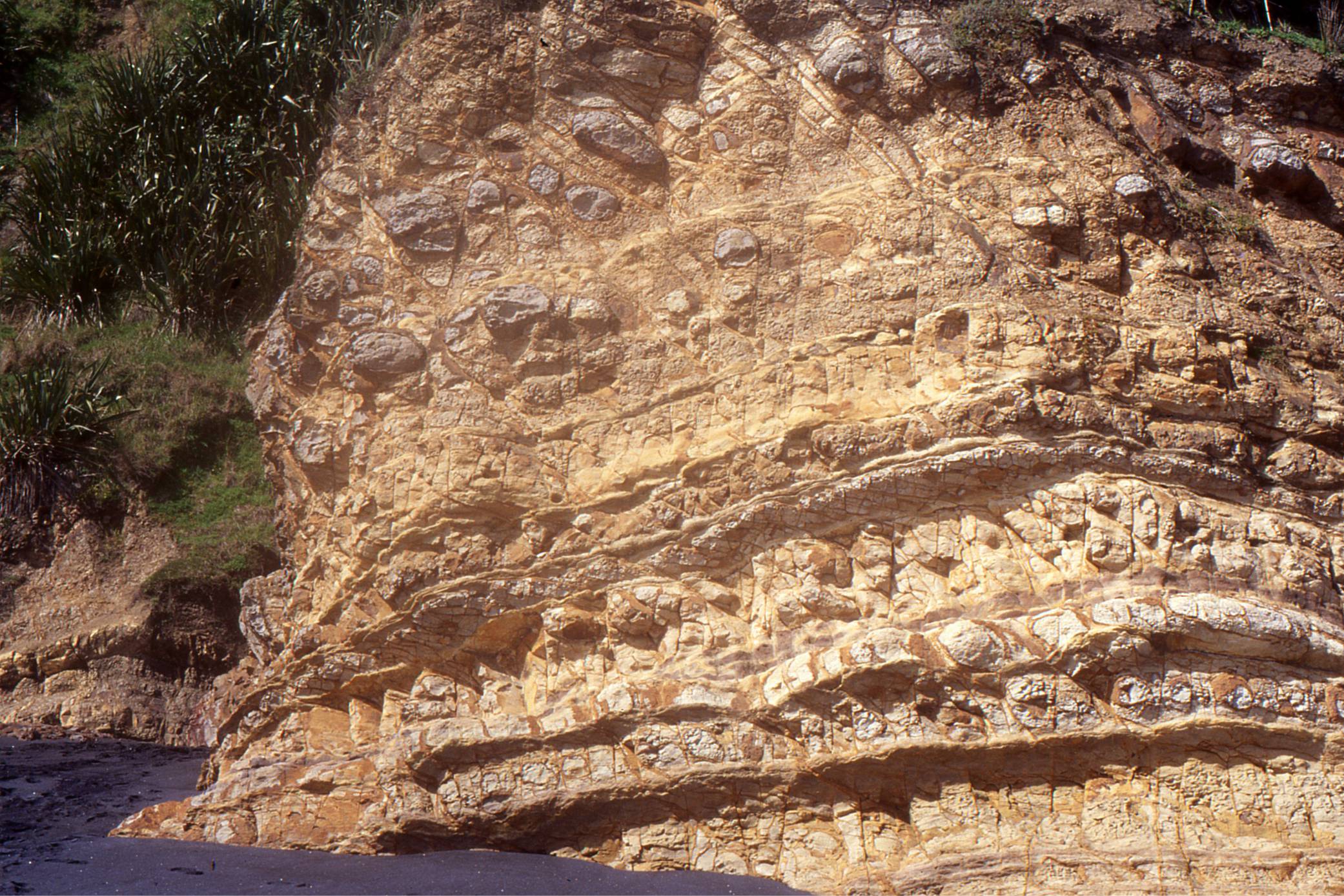
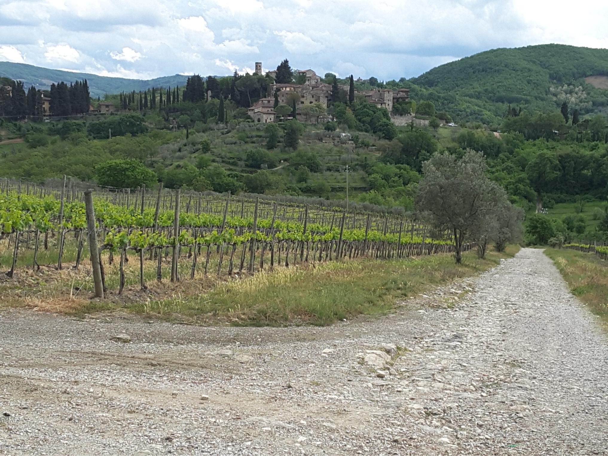
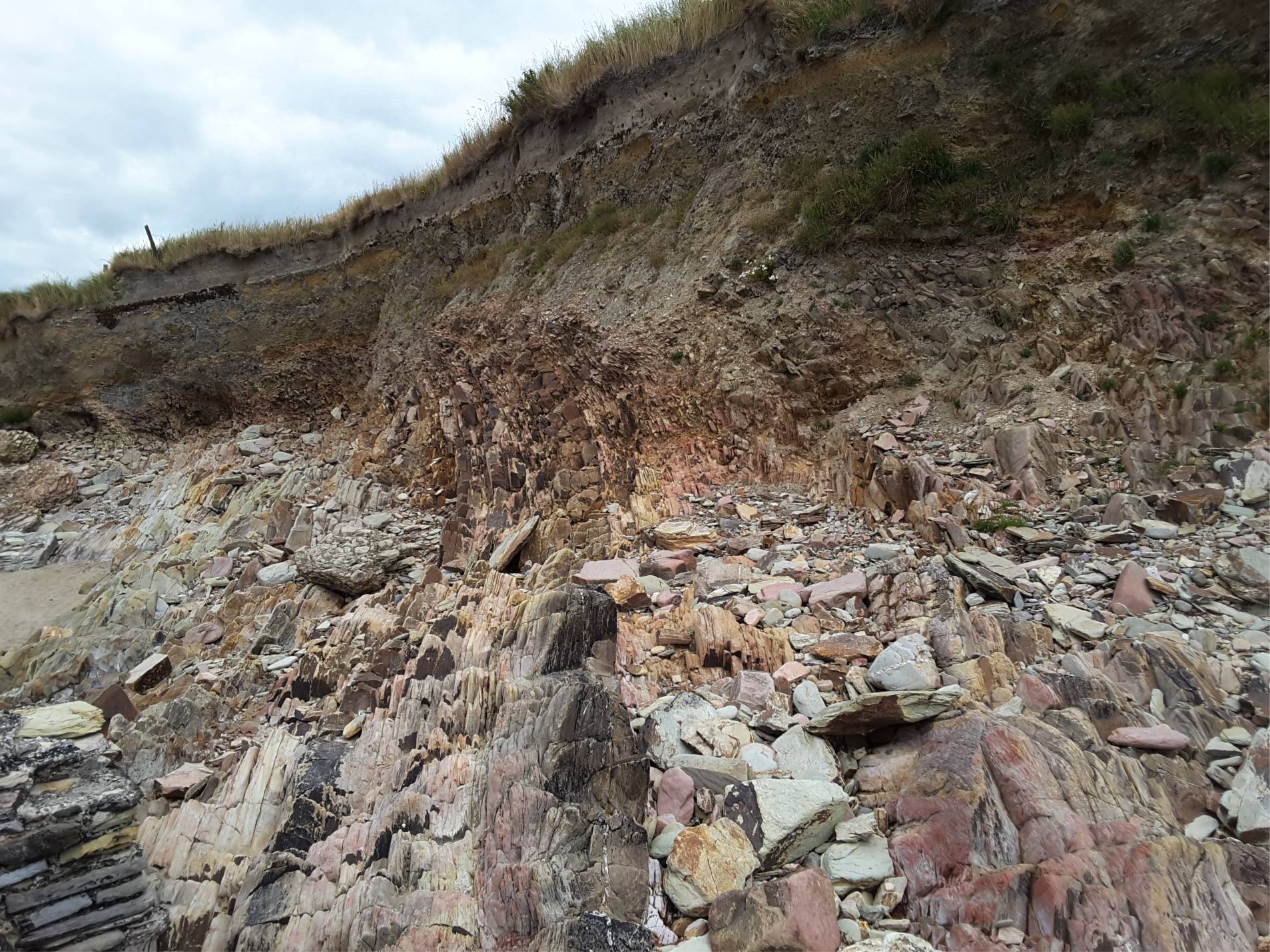
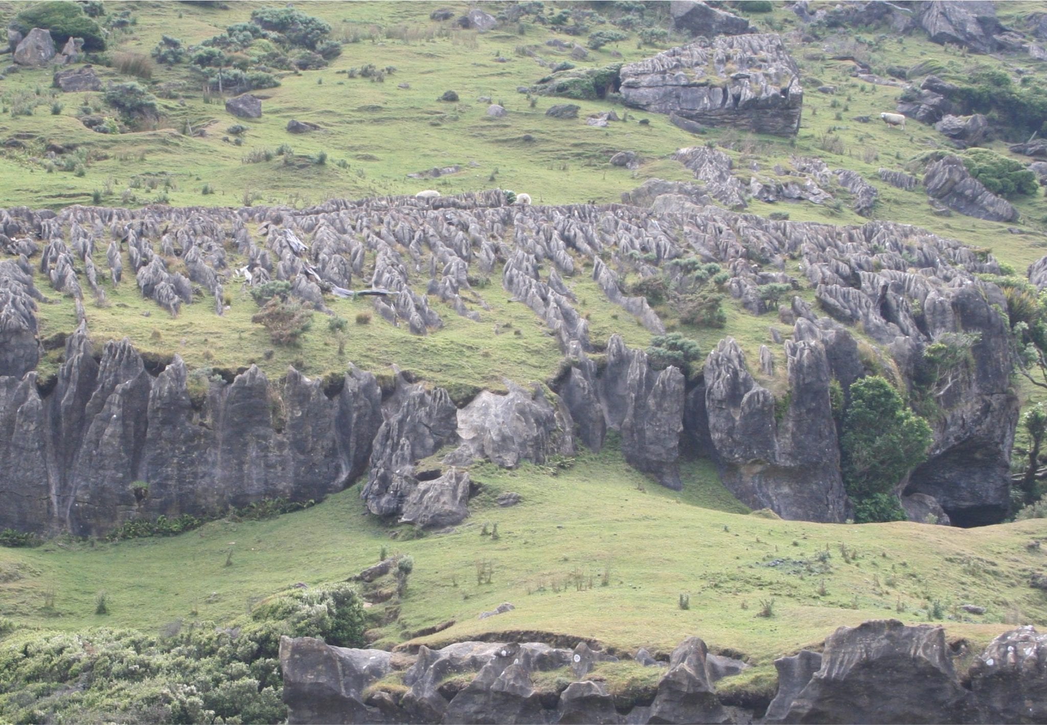
As surreal and metaphorical as these iconic images seem, they are rooted in real-world landscapes, the karst of southern China’s Guizhou, Guangxi, Yunnan and Chongqing provinces that in 2007 were designated a UNESCO World Heritage site. Its cones, pinnacles, sinkholes, caves, bridges and Shillin (Stone Forests) developed in thick Devonian to Triassic limestone. This is one of the classic regions for tropical and subtropical karst.


classic tropical karst in Guangxi Province, south China

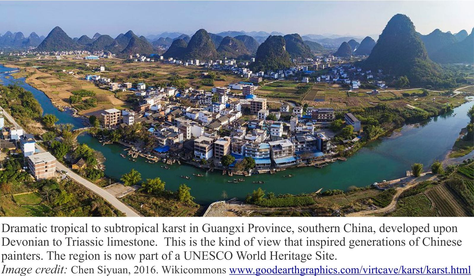
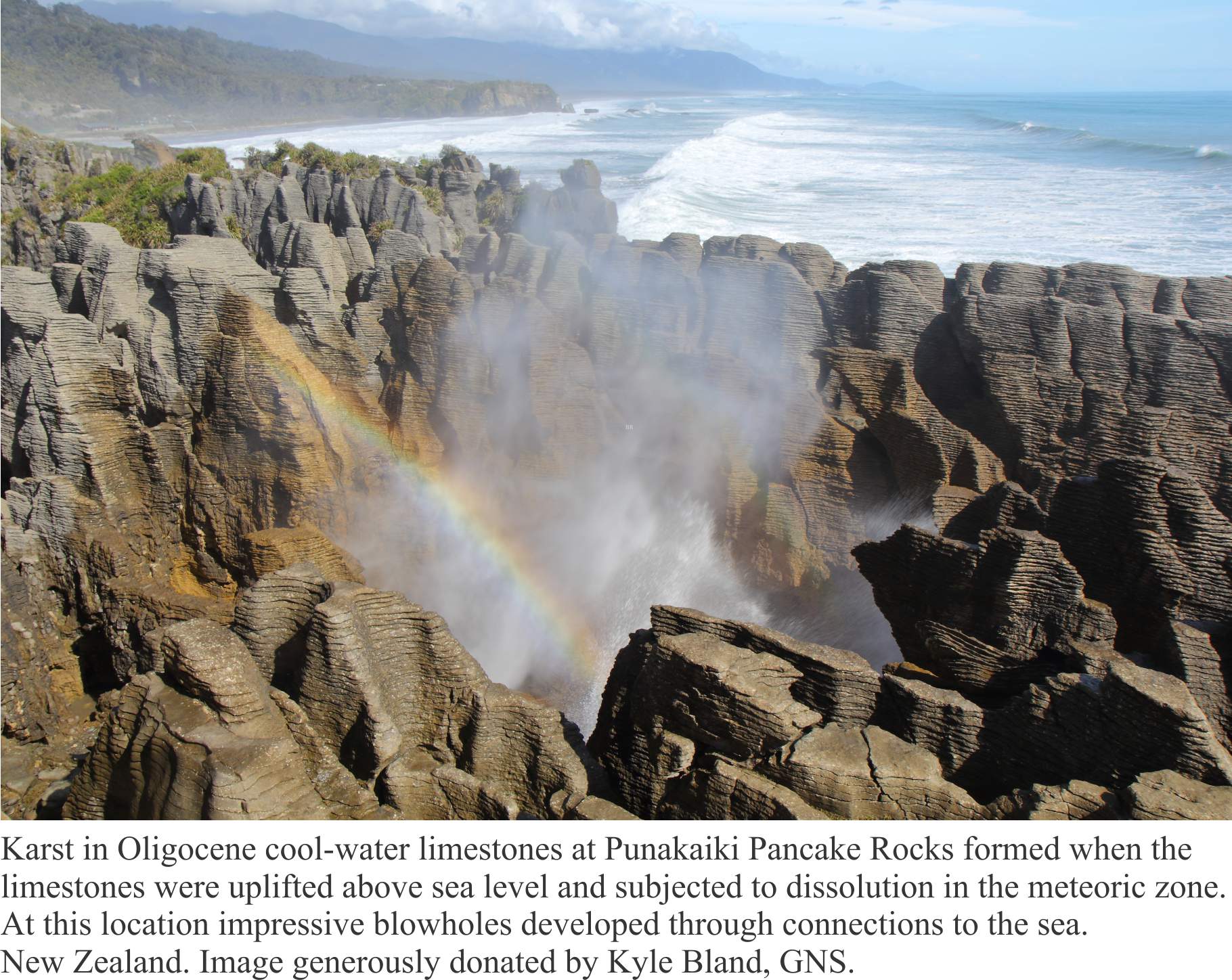
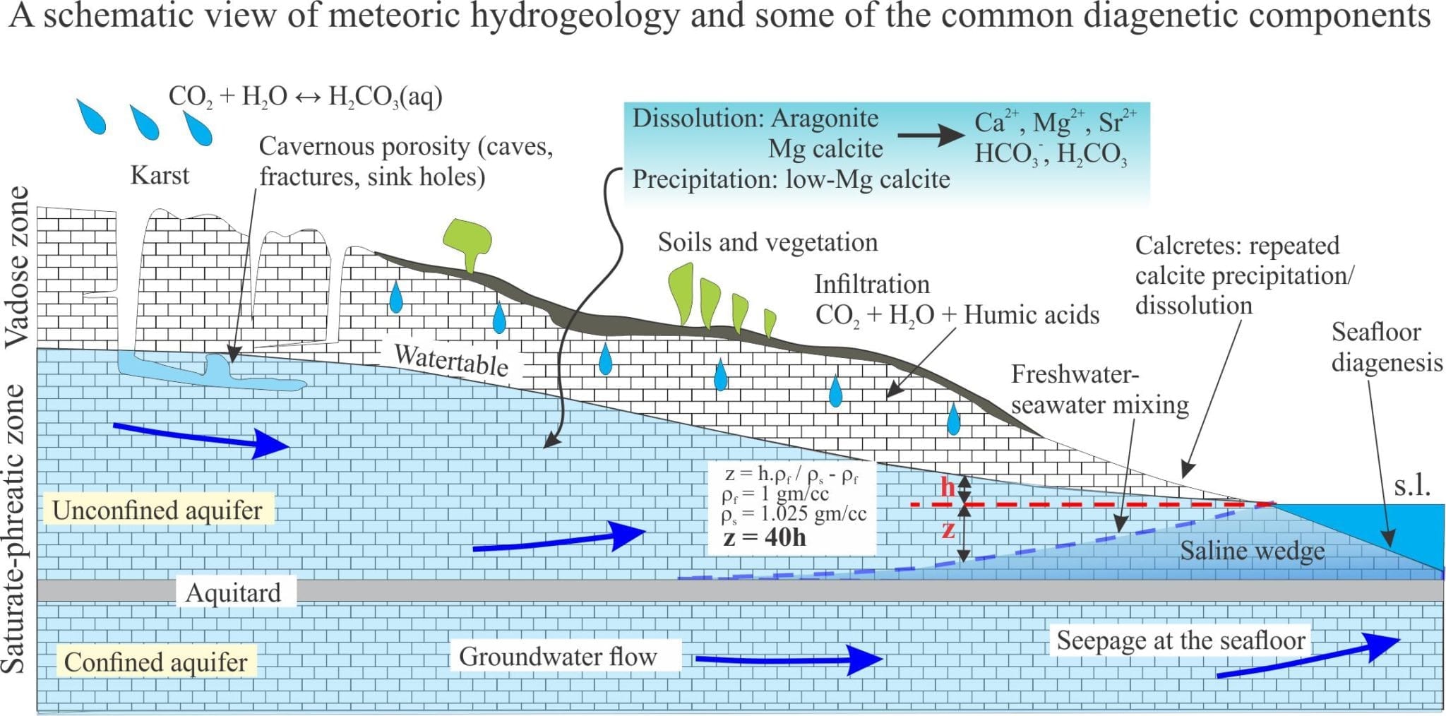
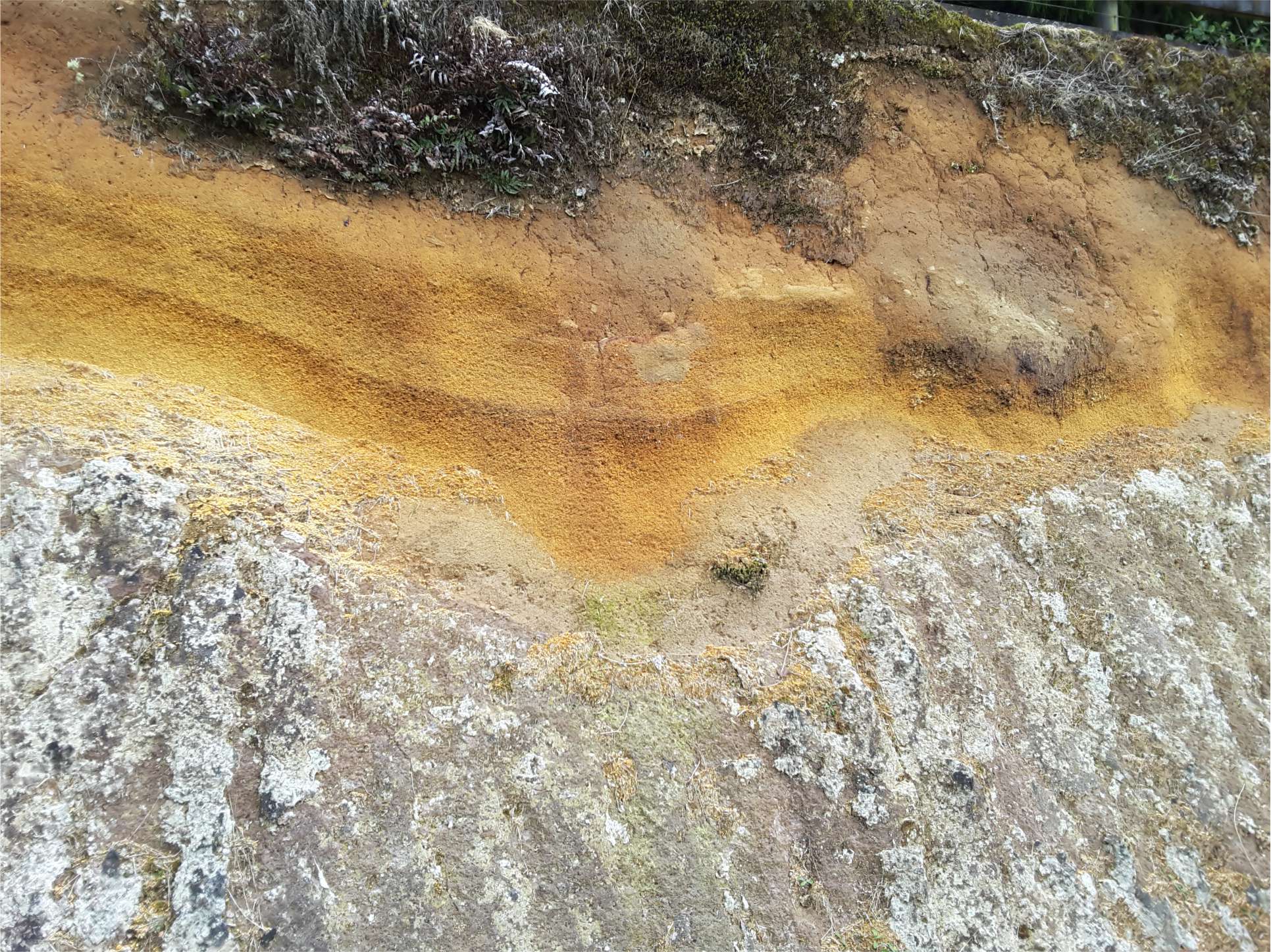
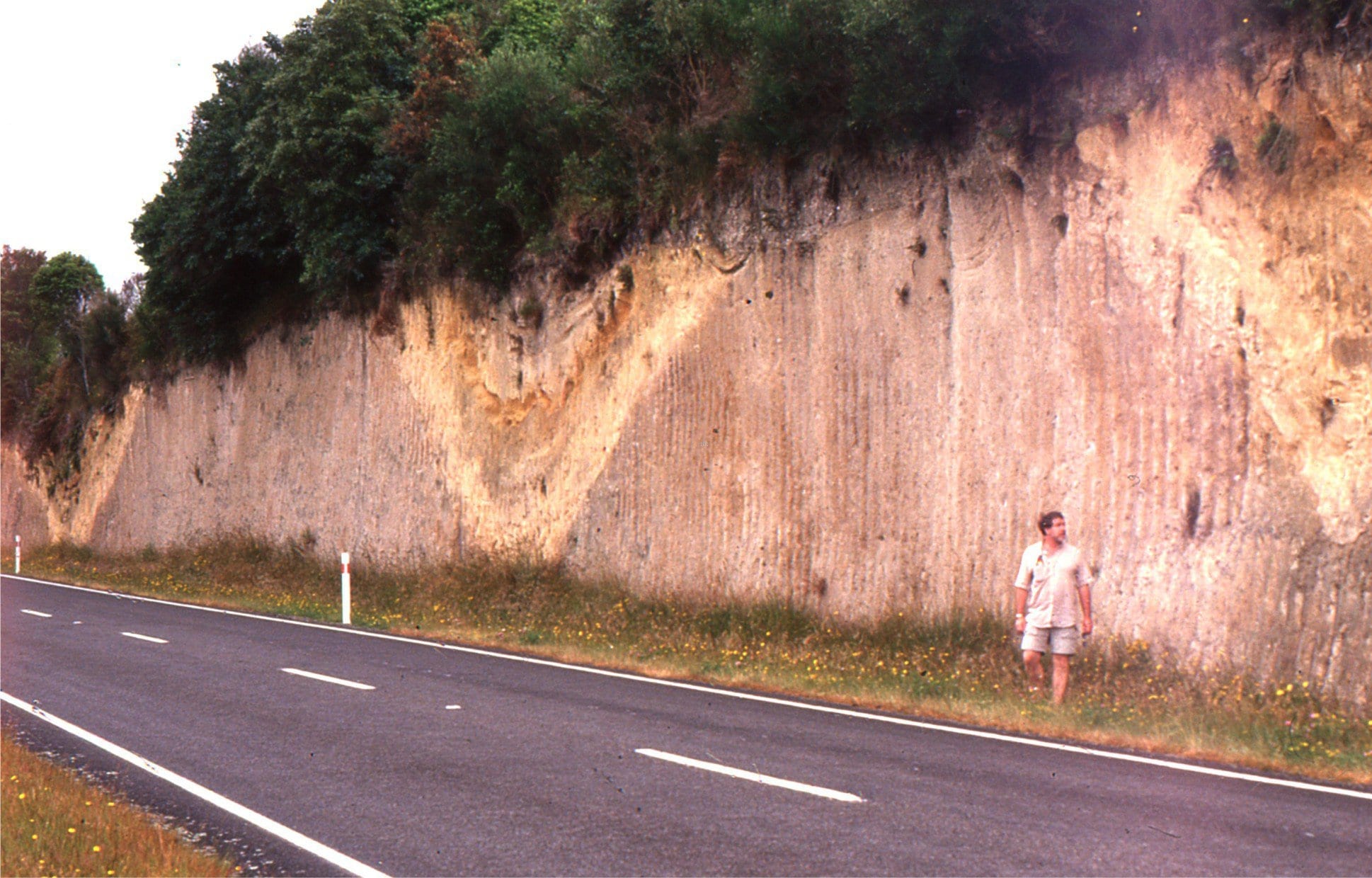
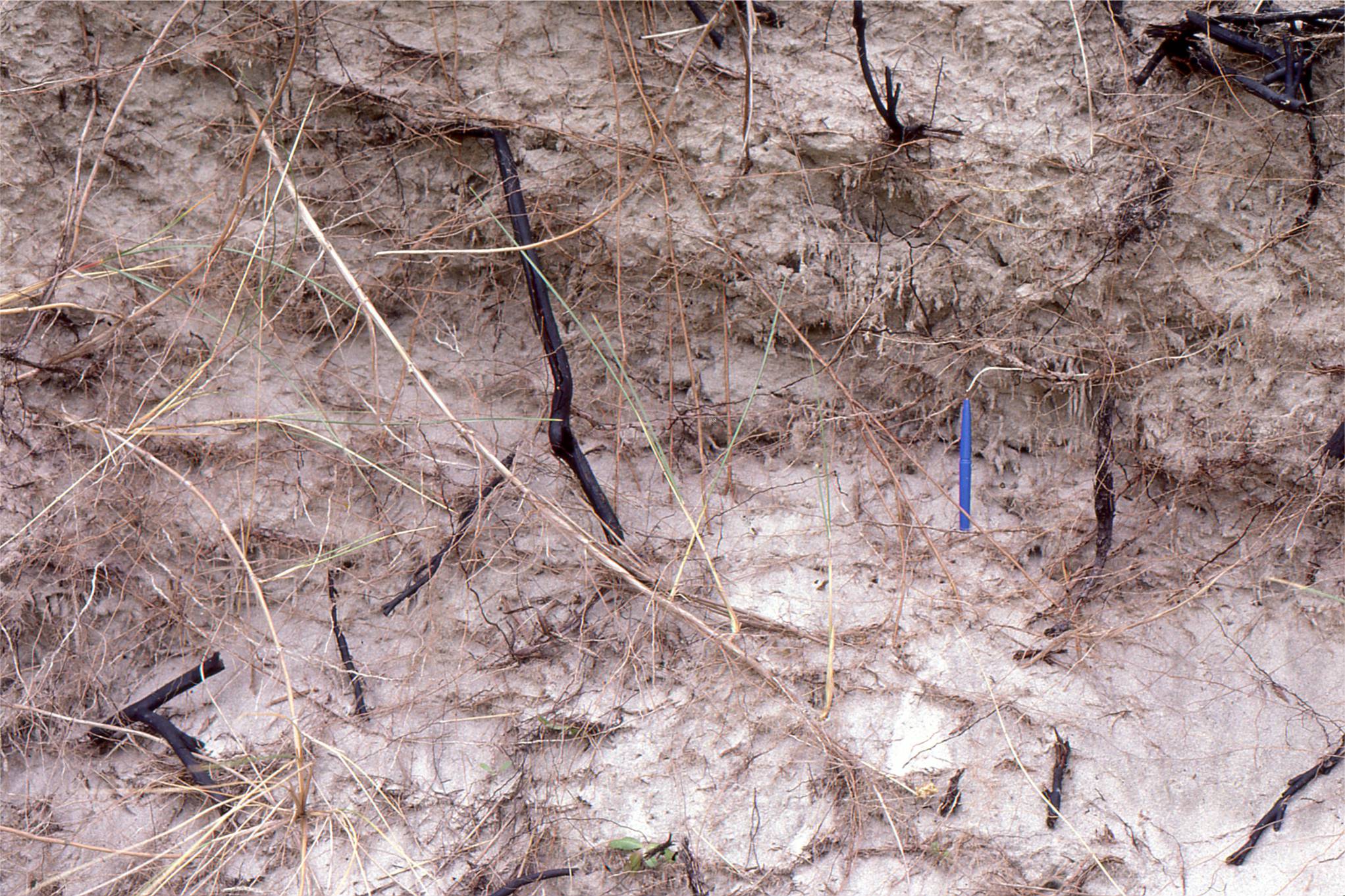
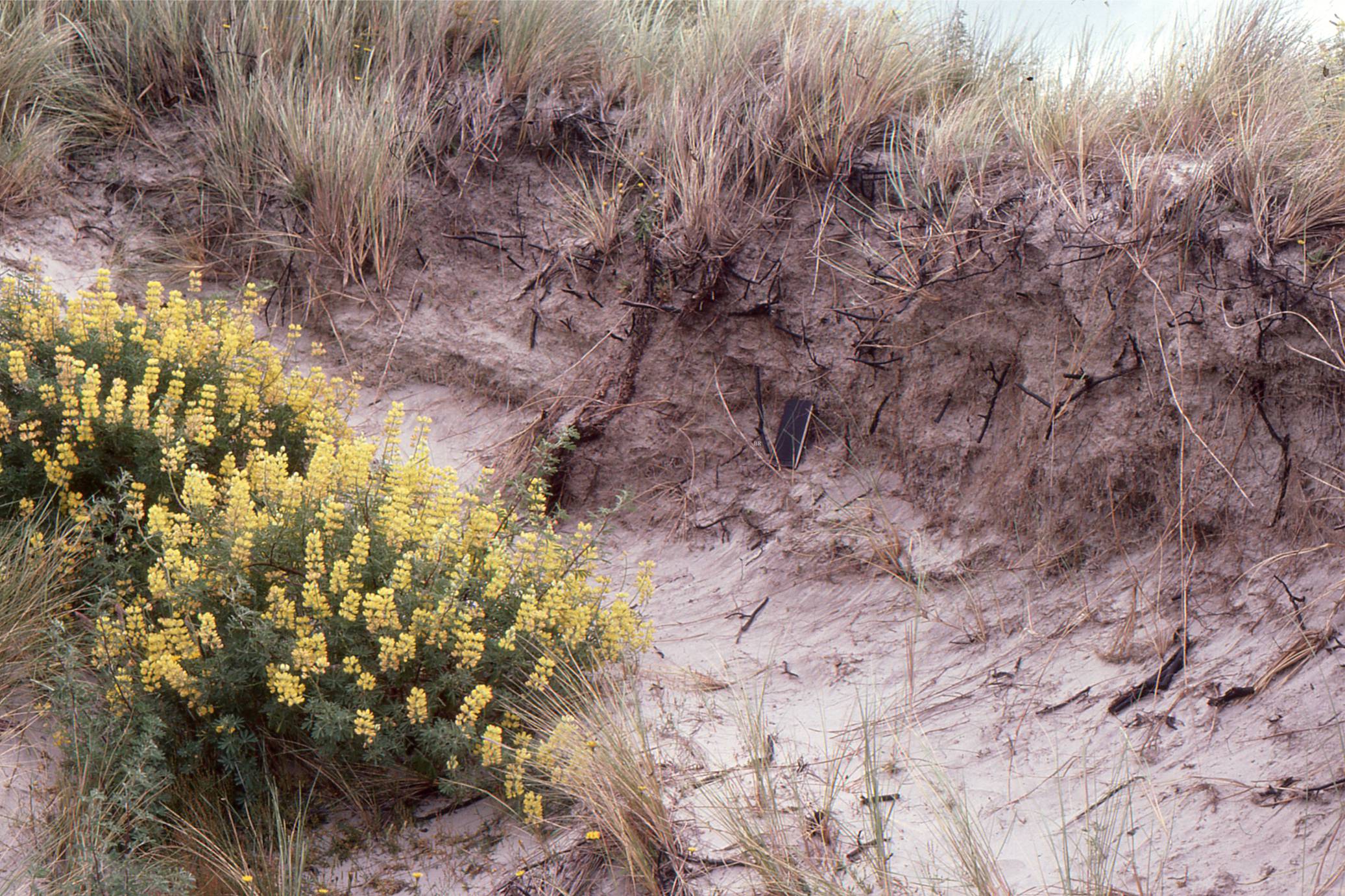
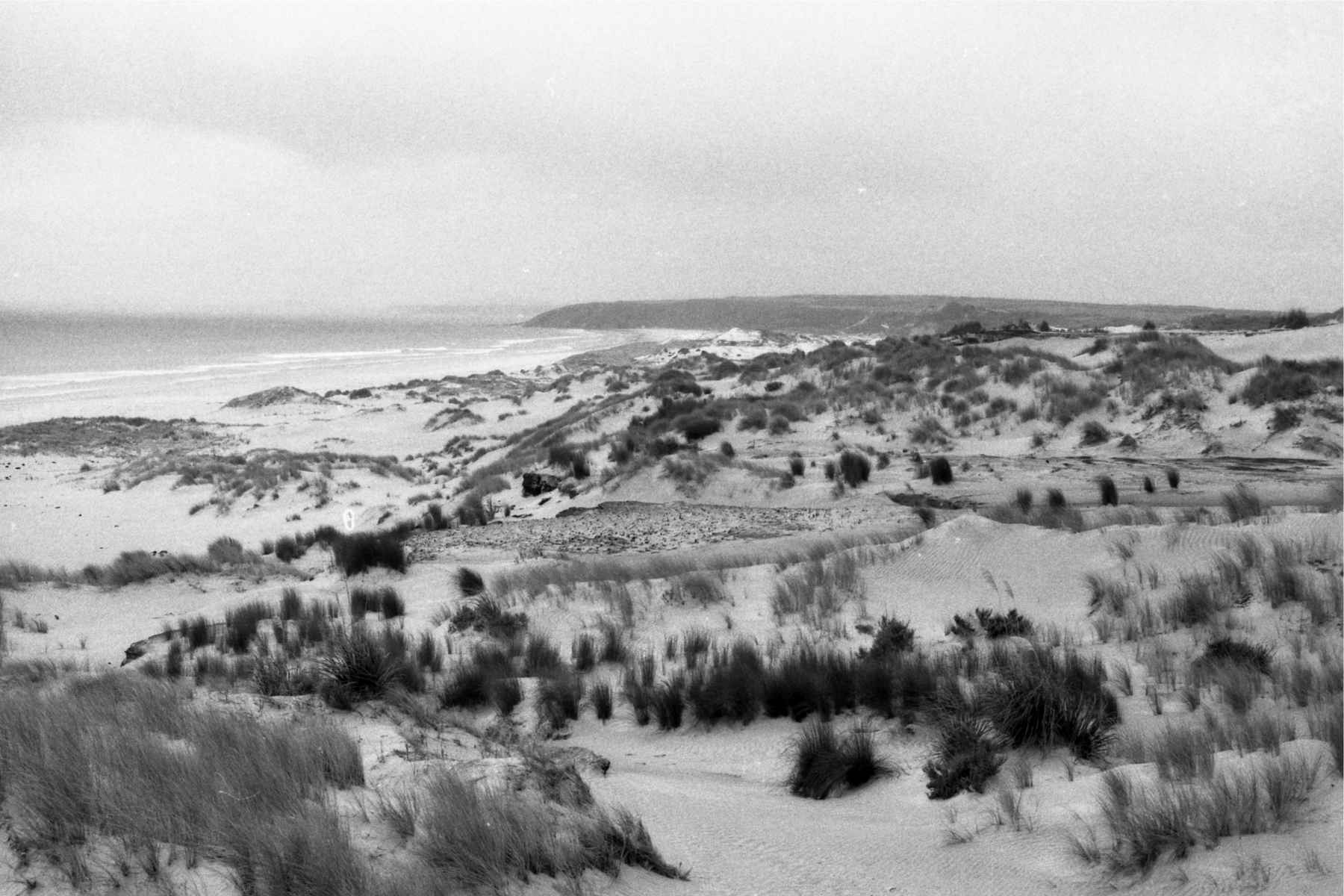
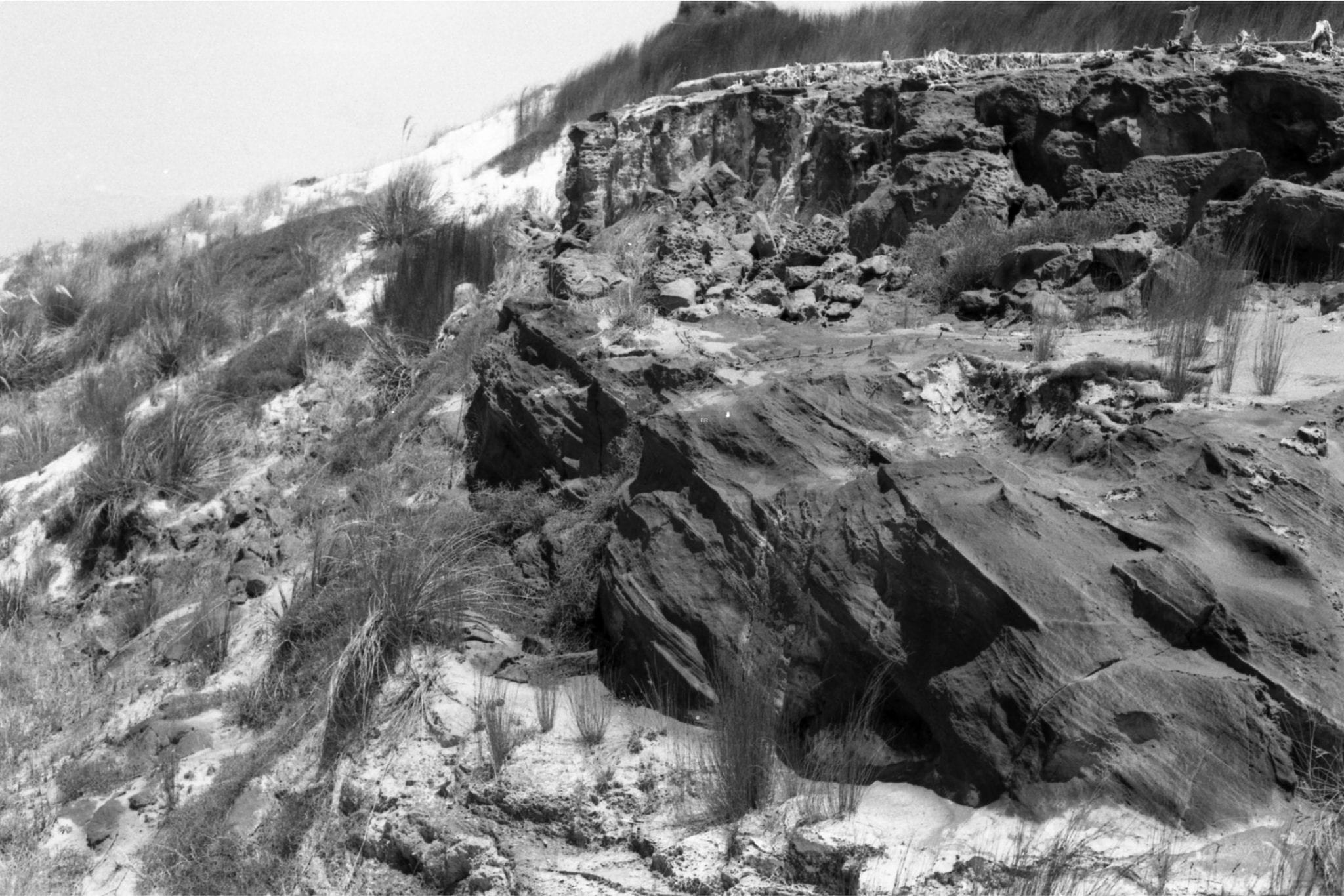
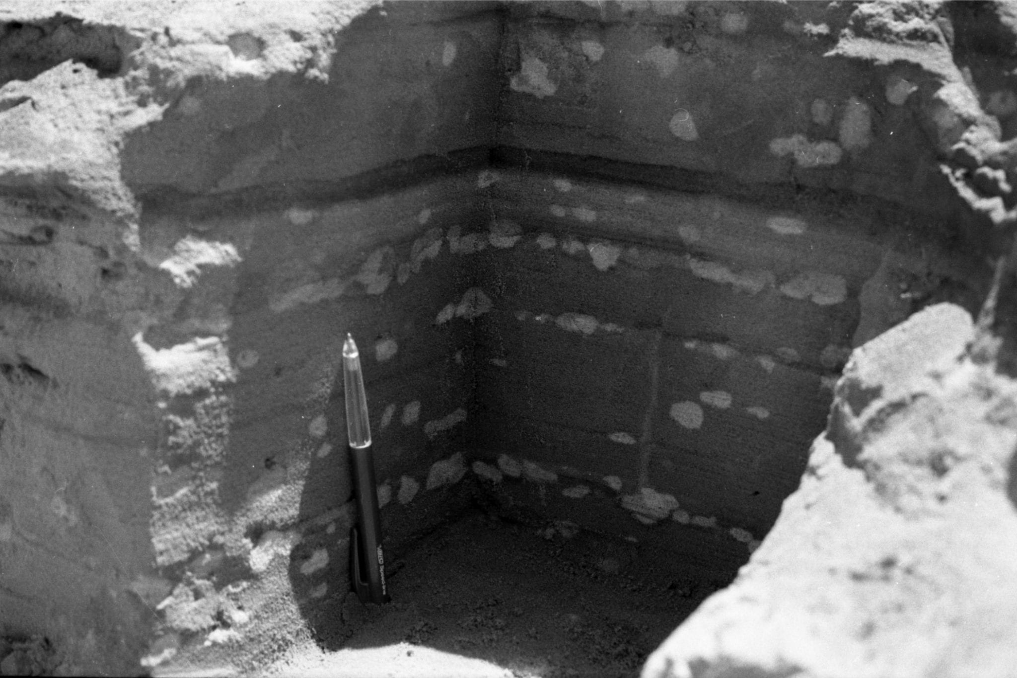
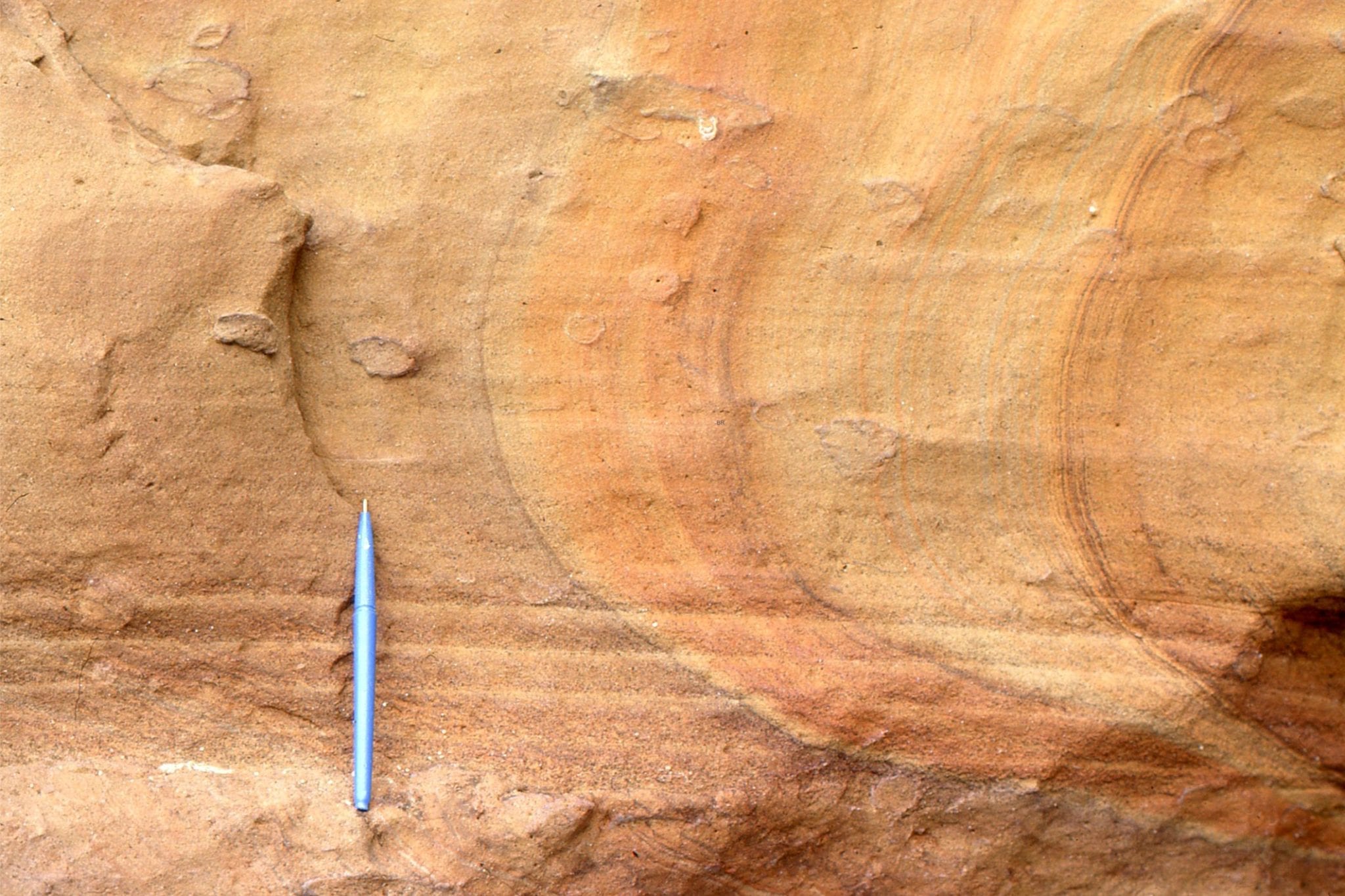
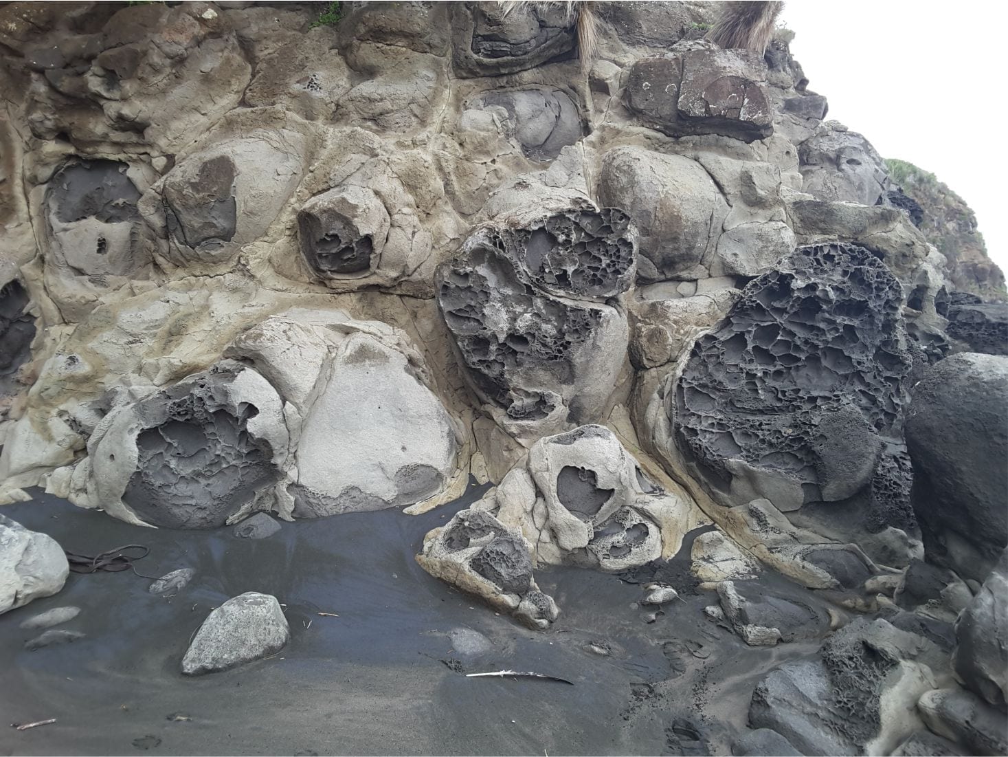
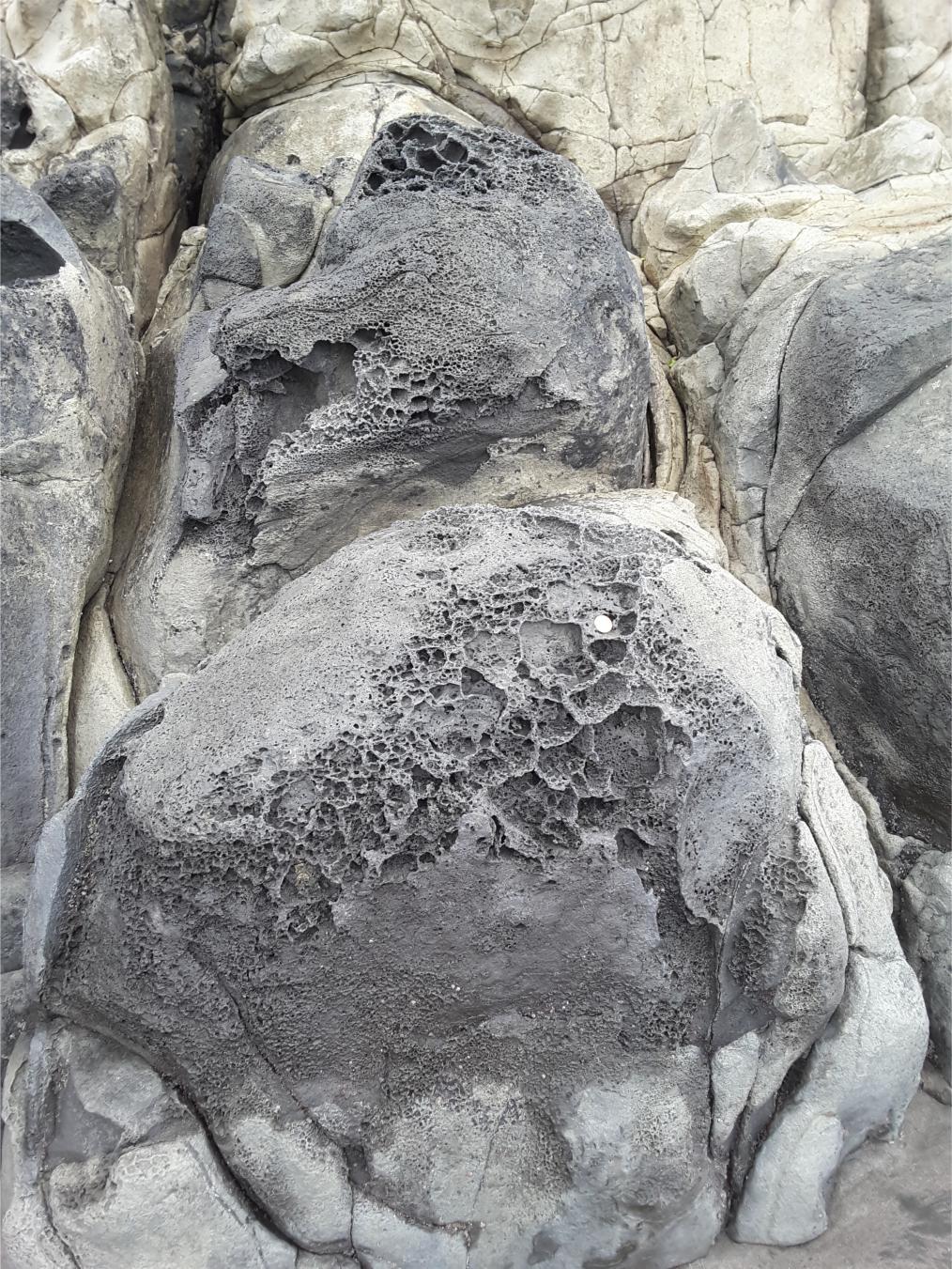
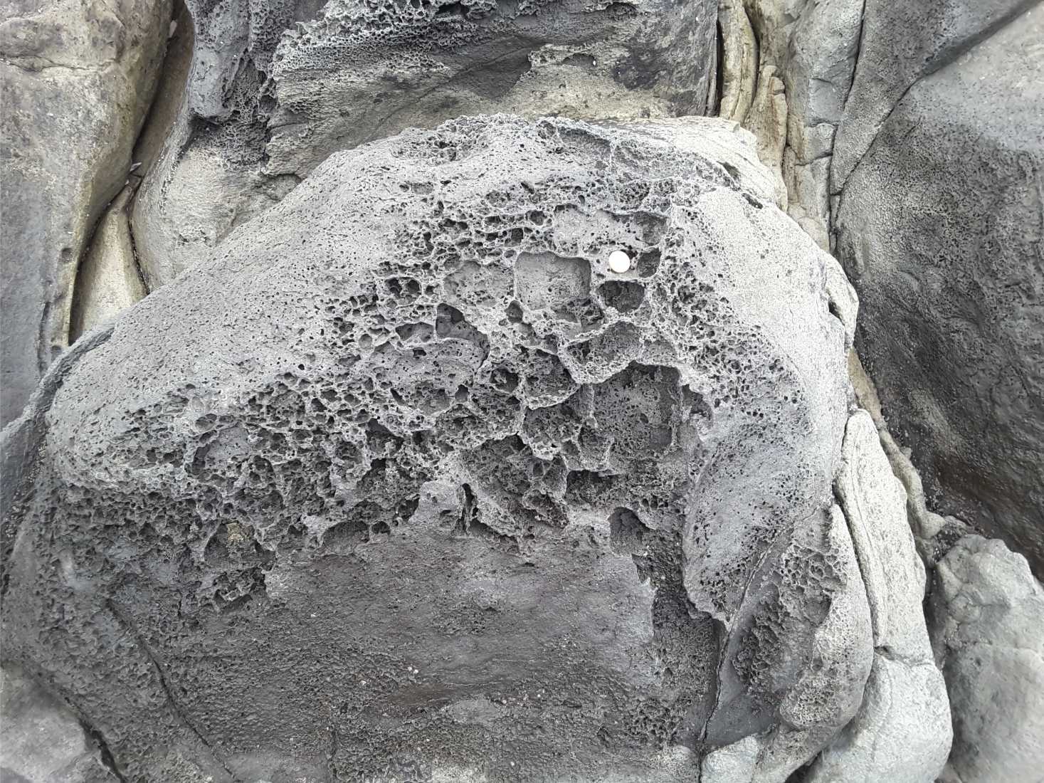
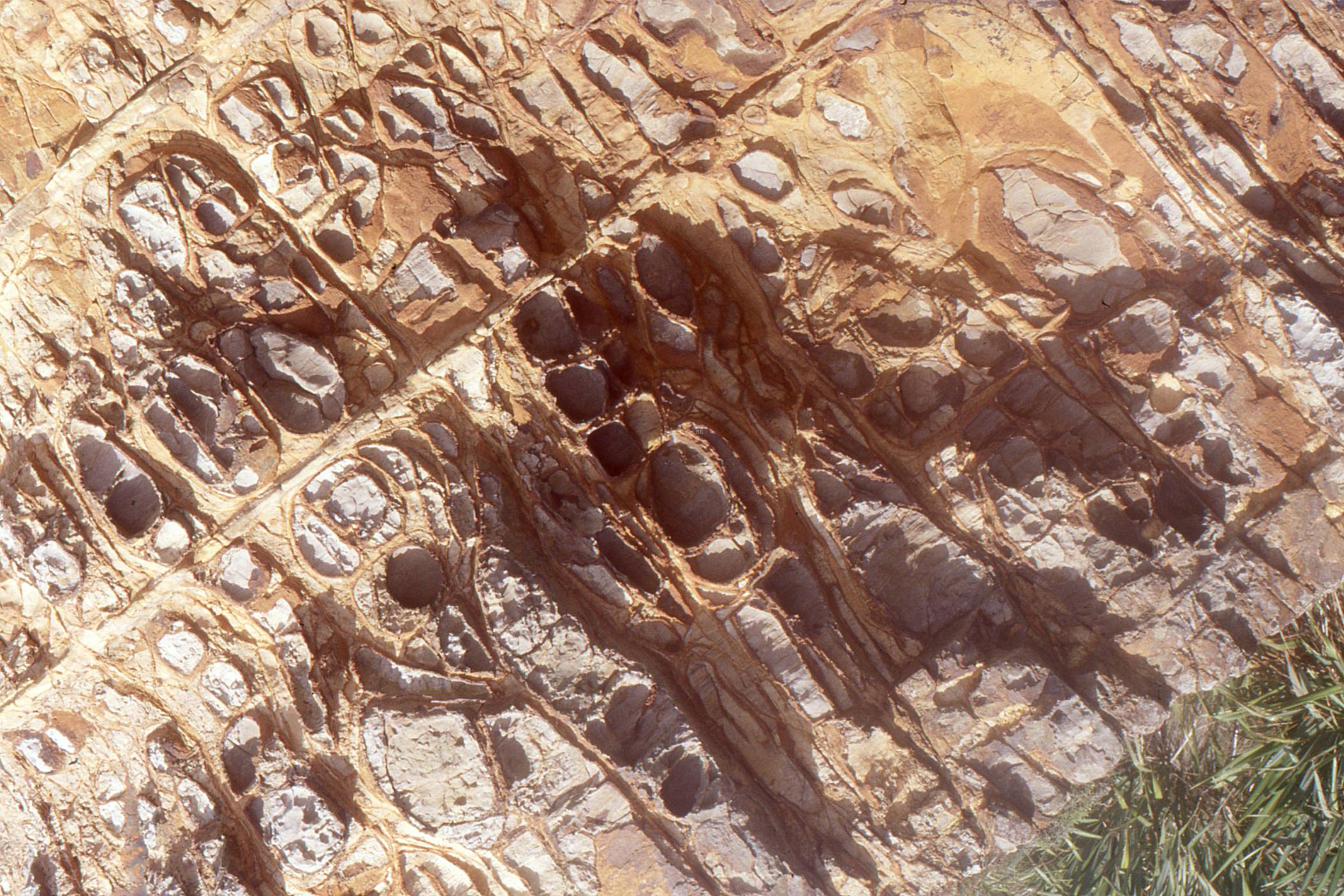
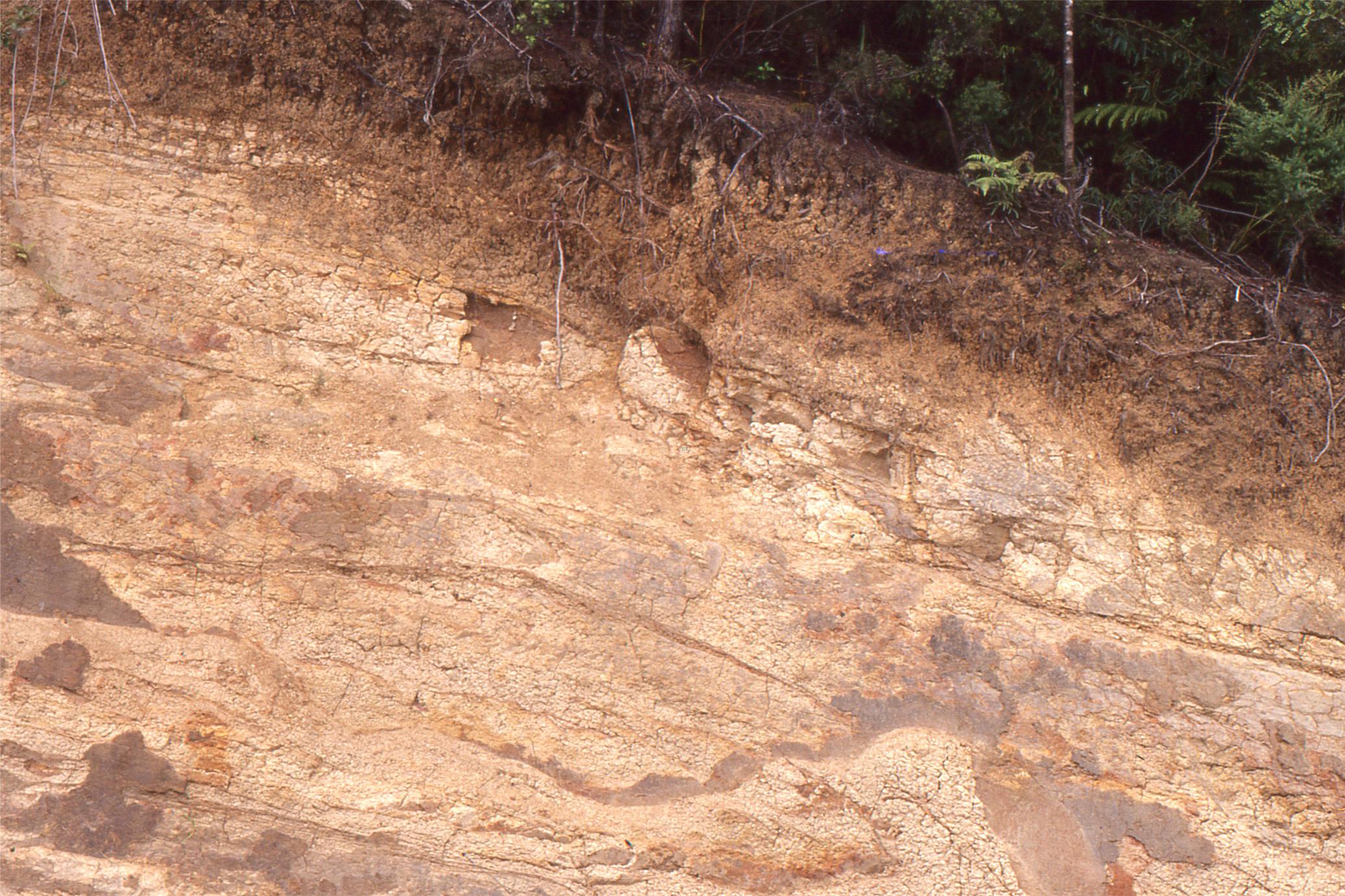
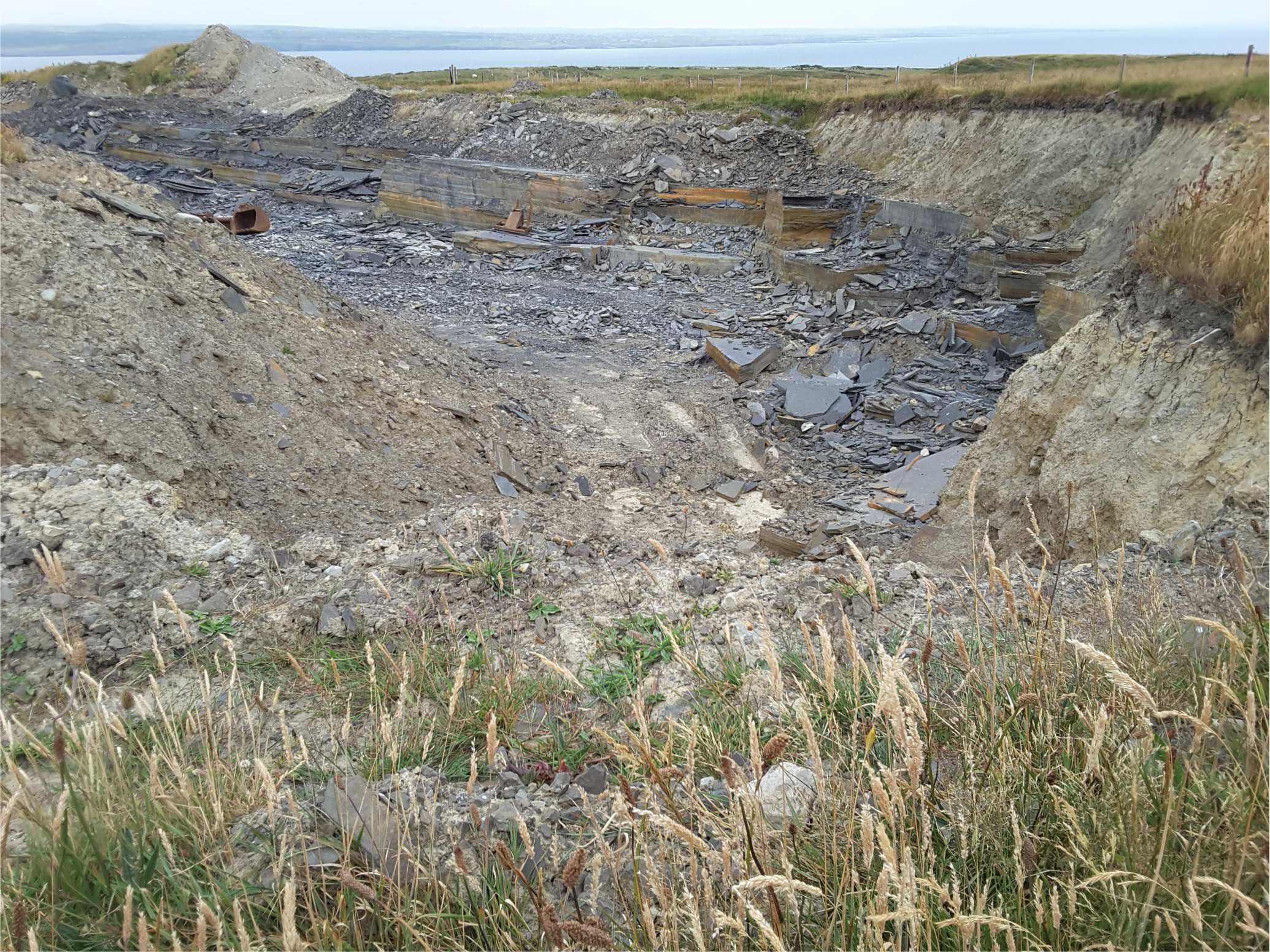
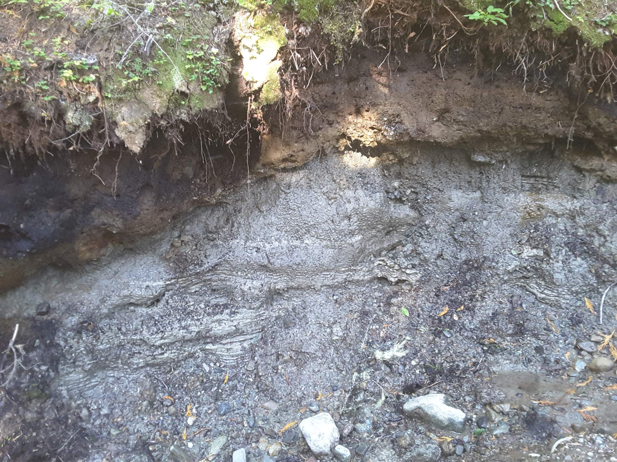
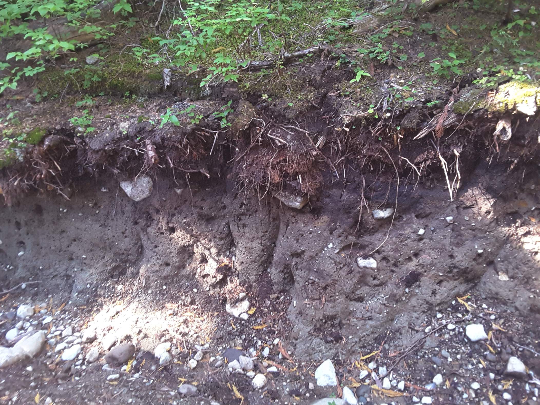
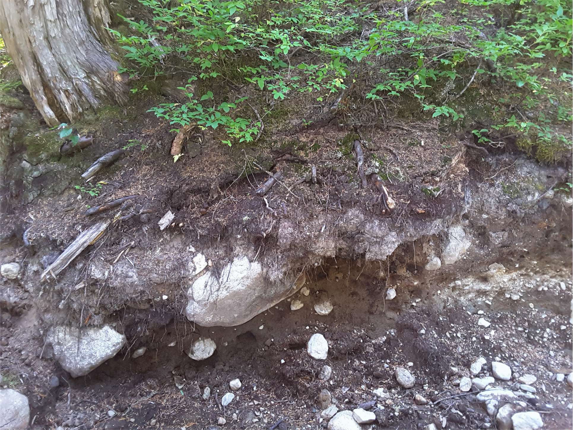
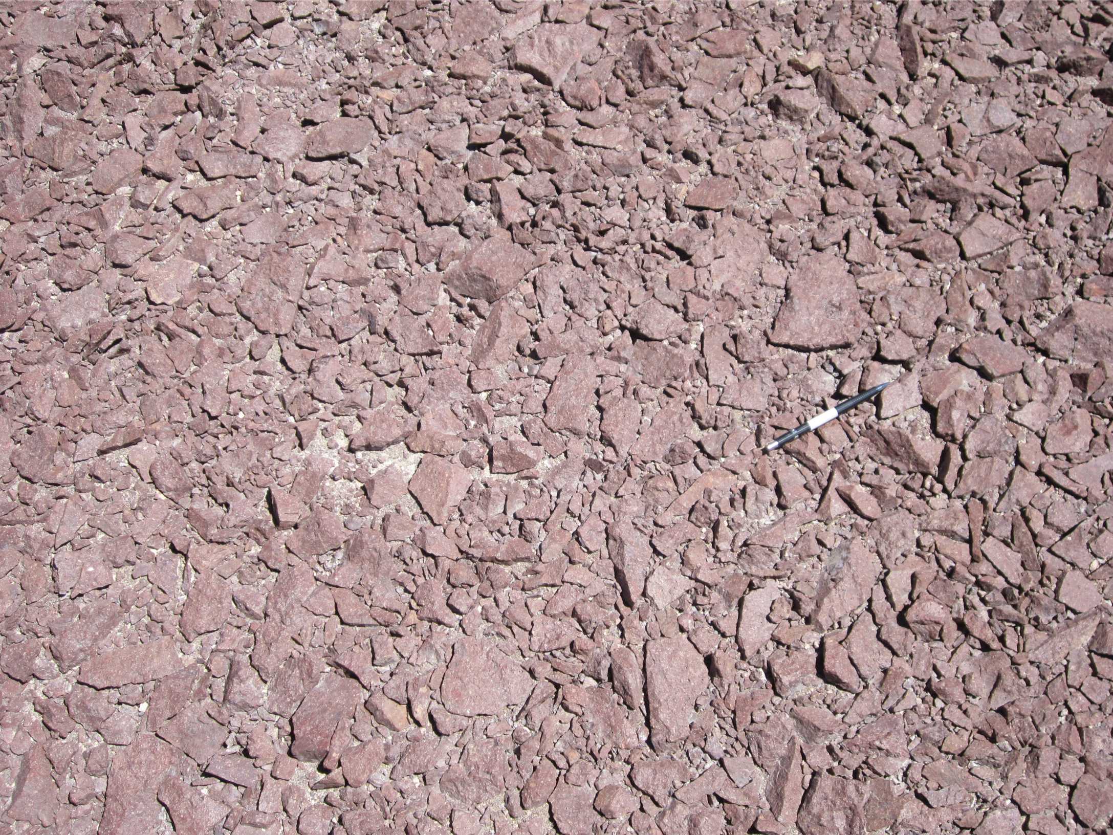
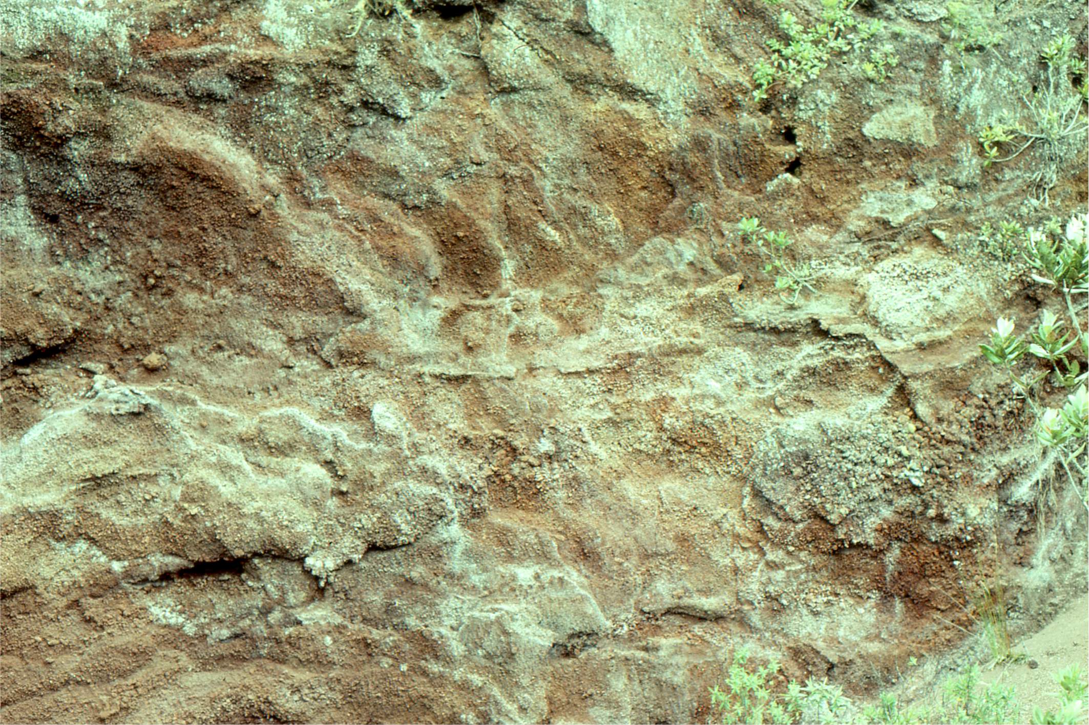
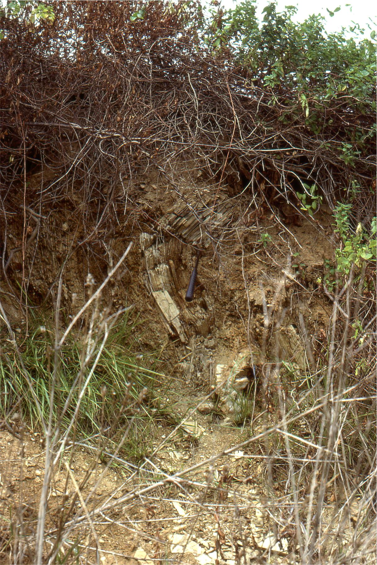
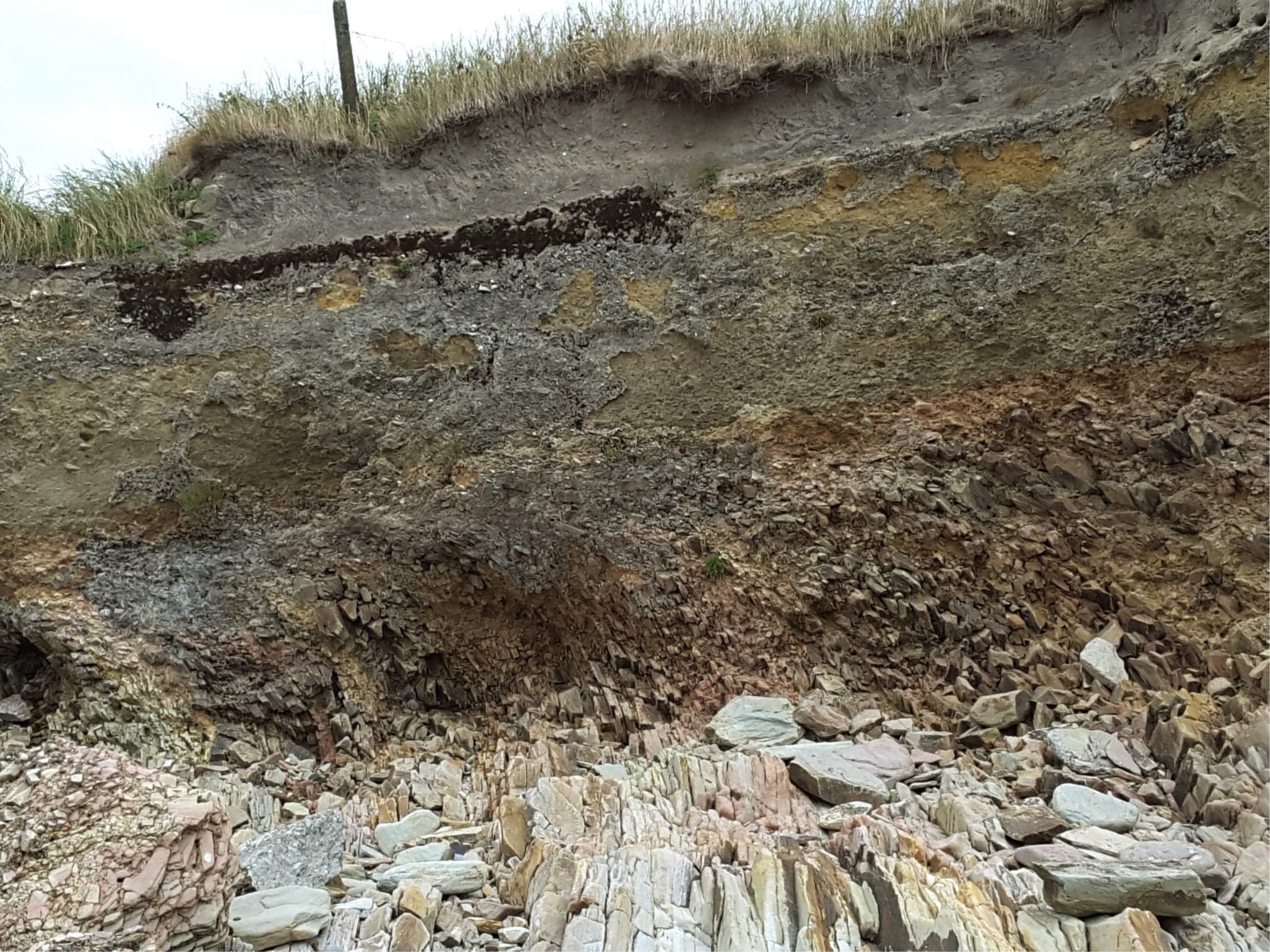
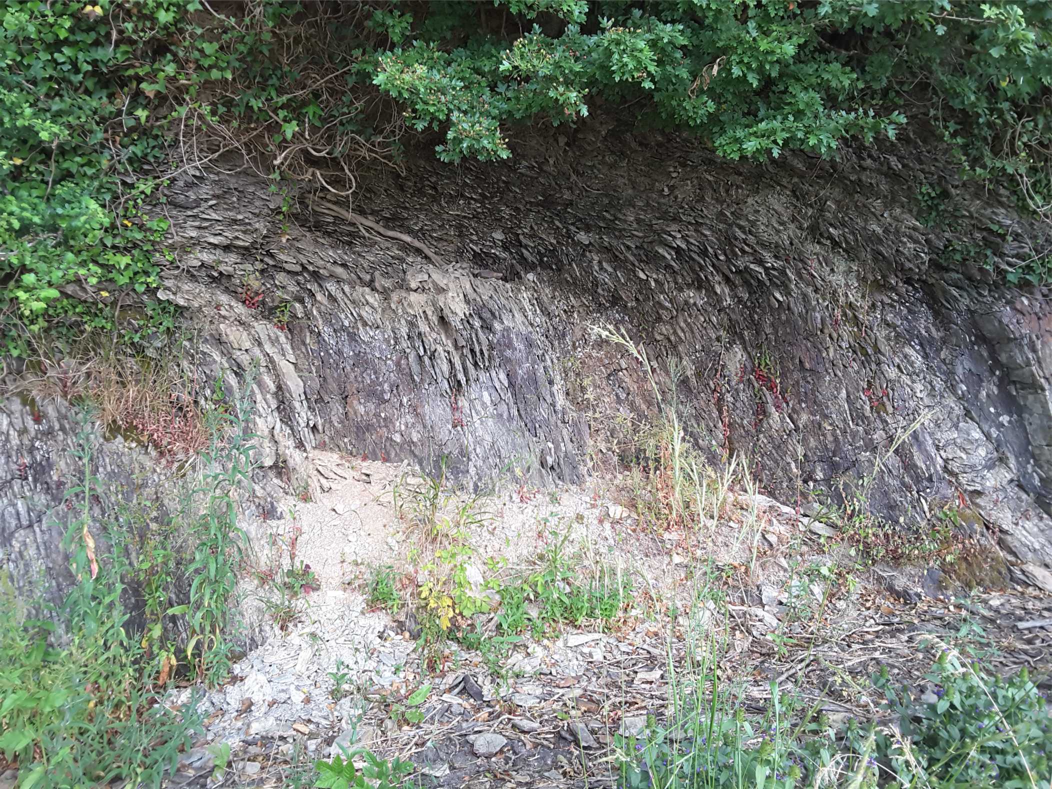
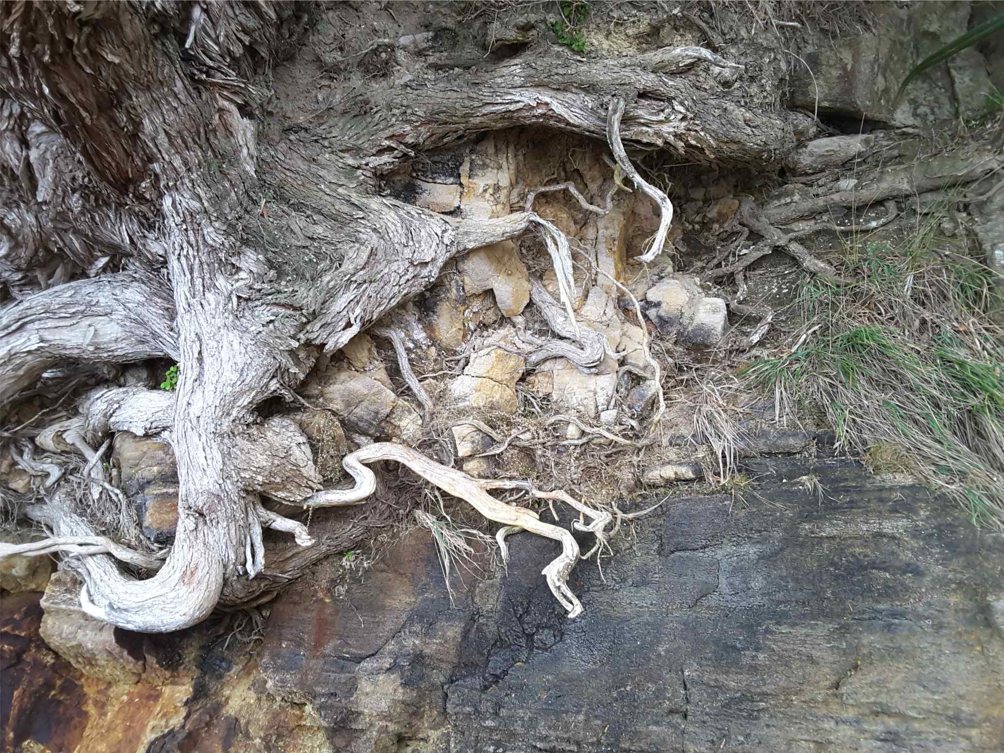
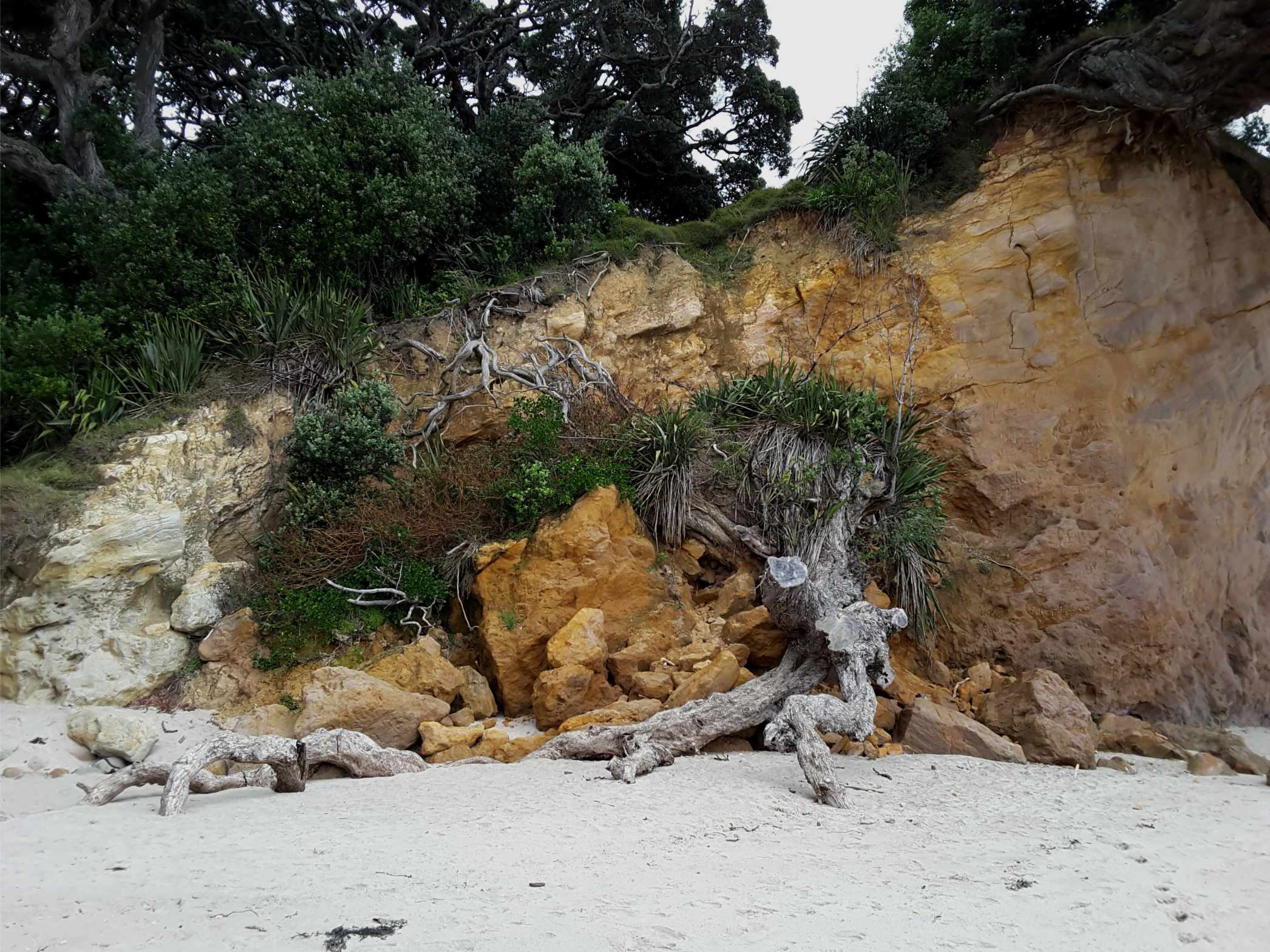
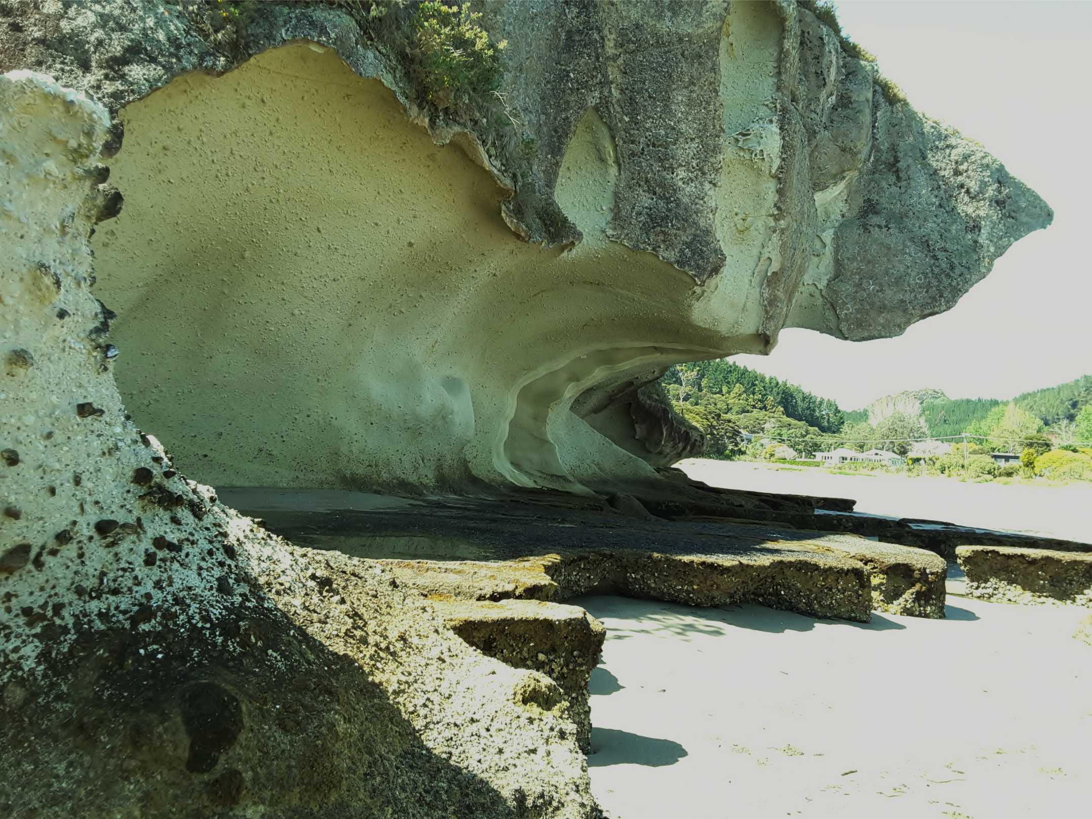
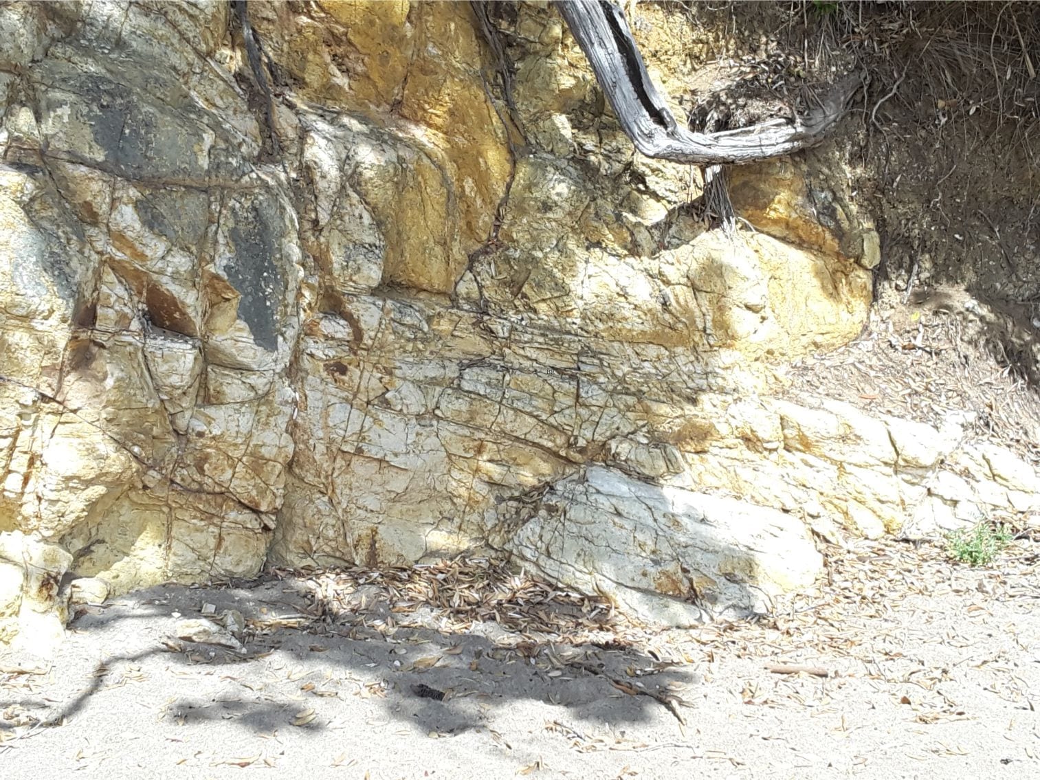
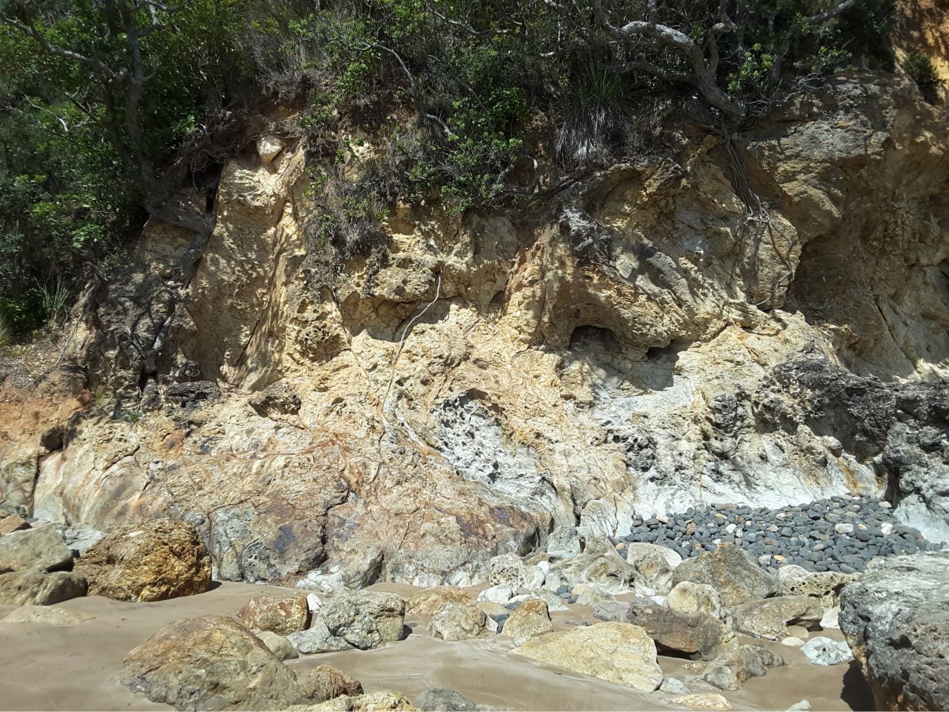
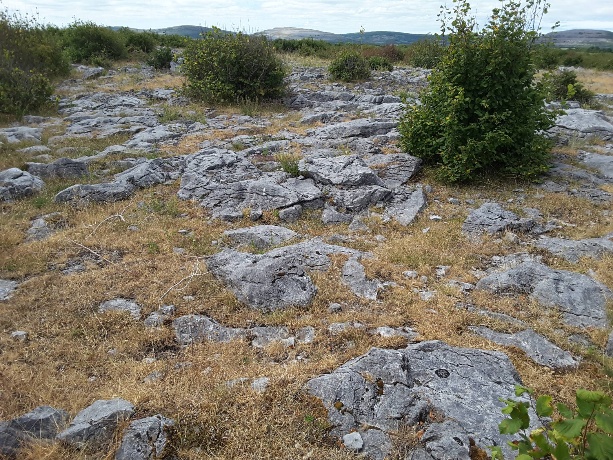
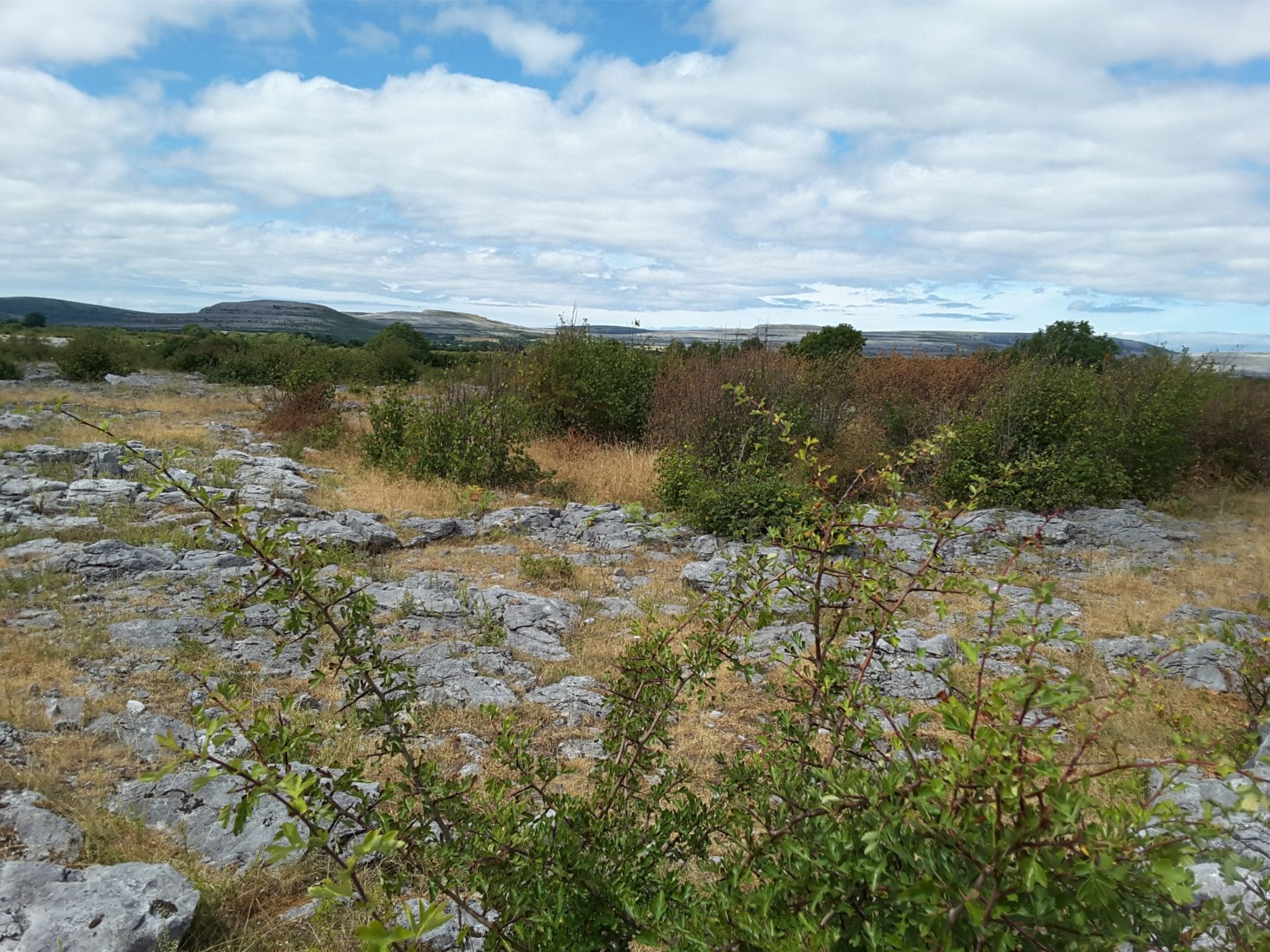
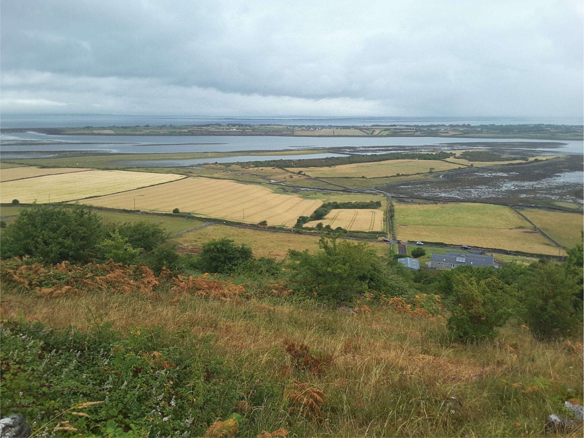
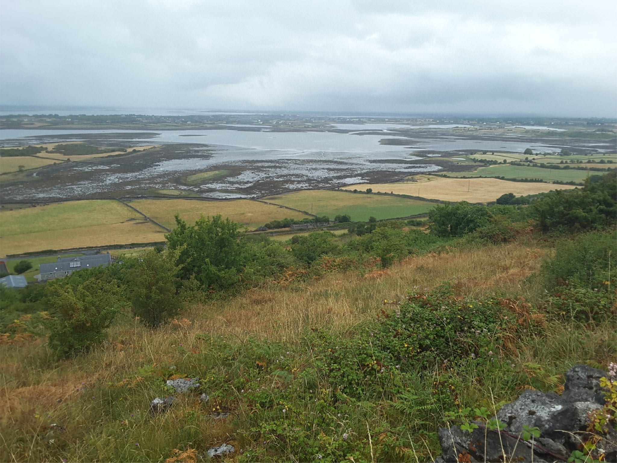
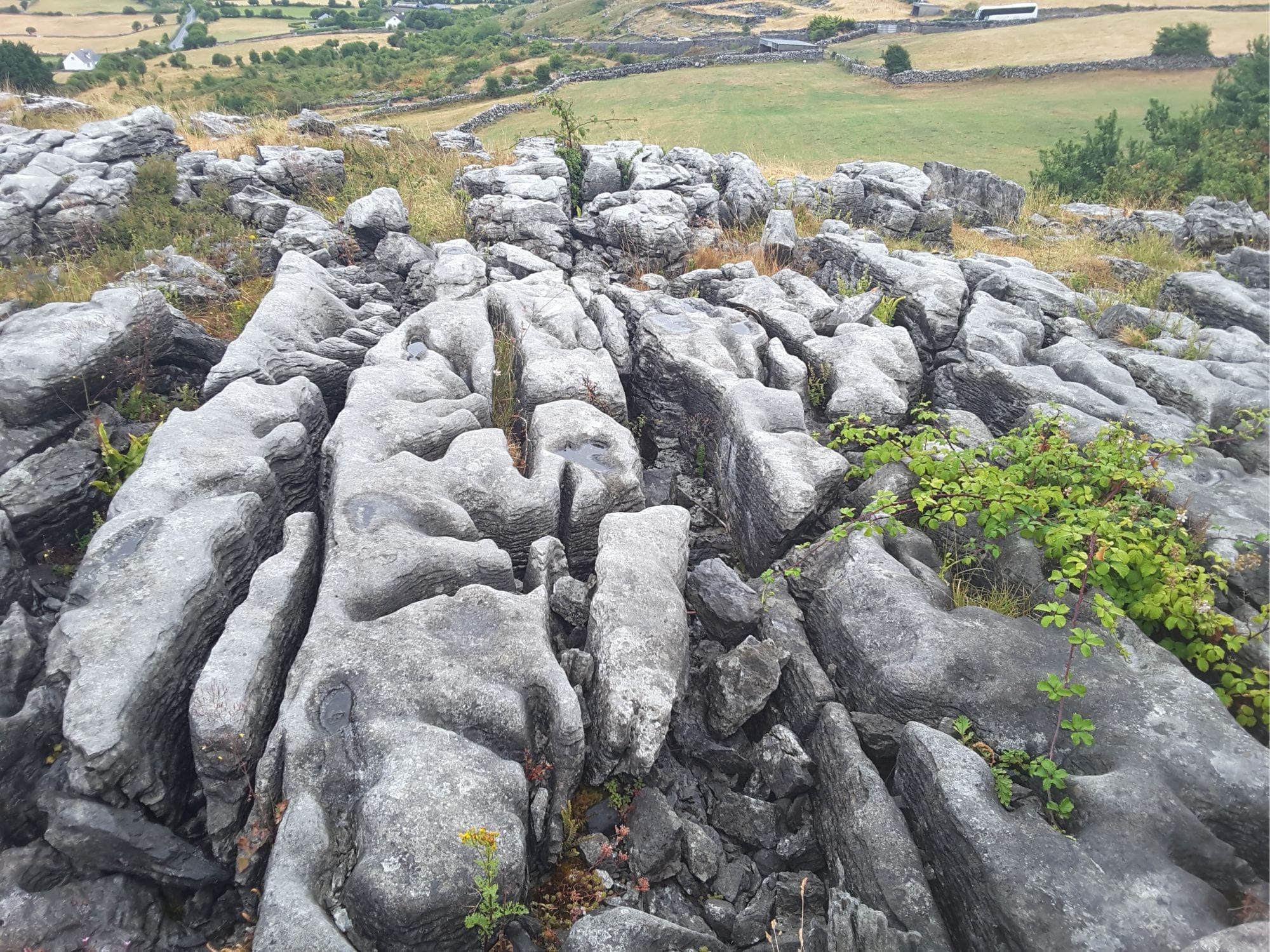
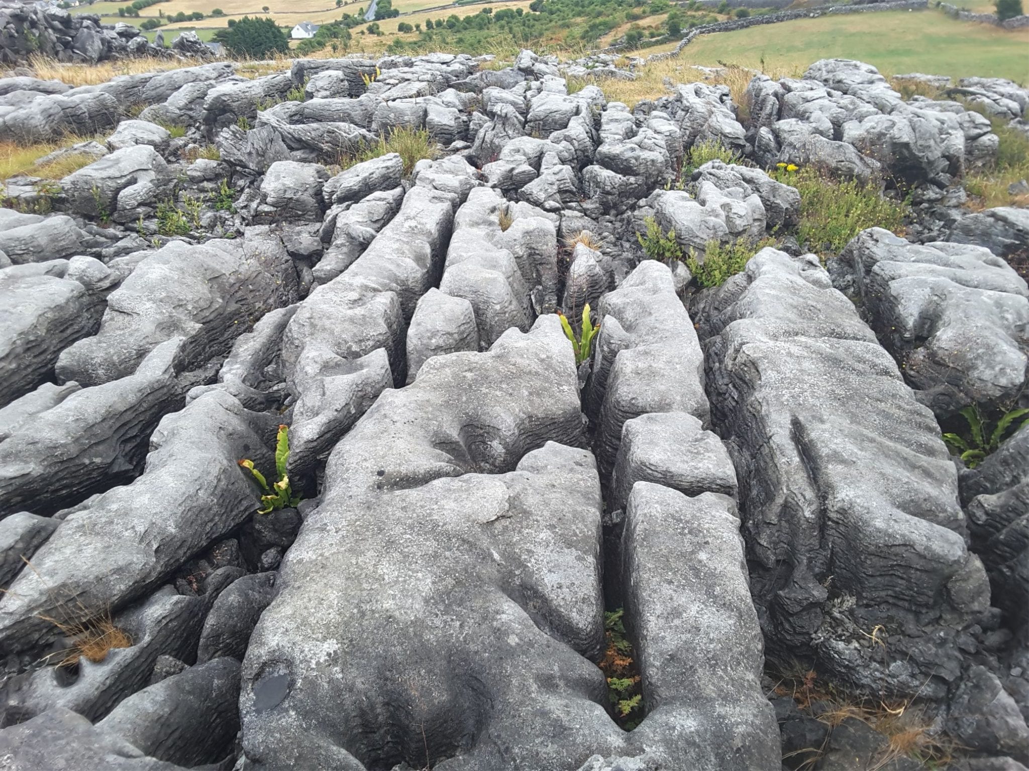
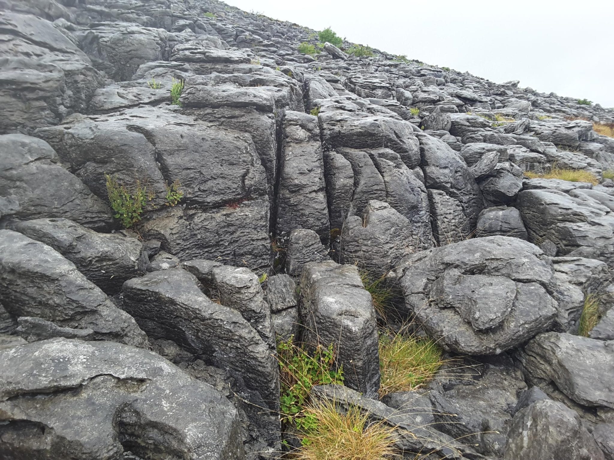
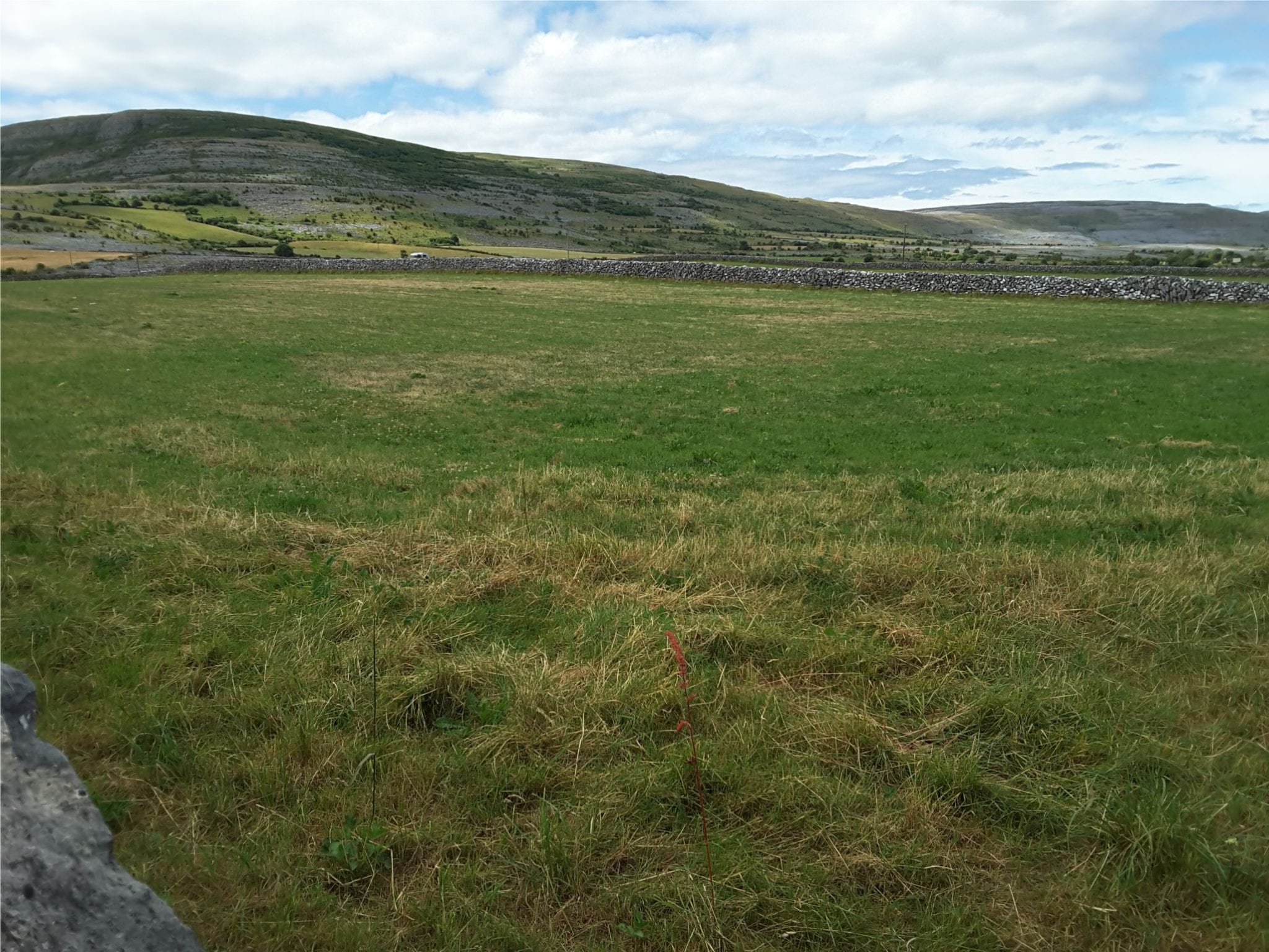
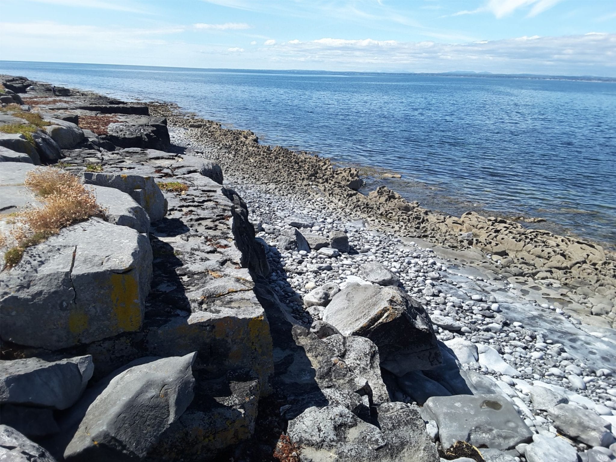
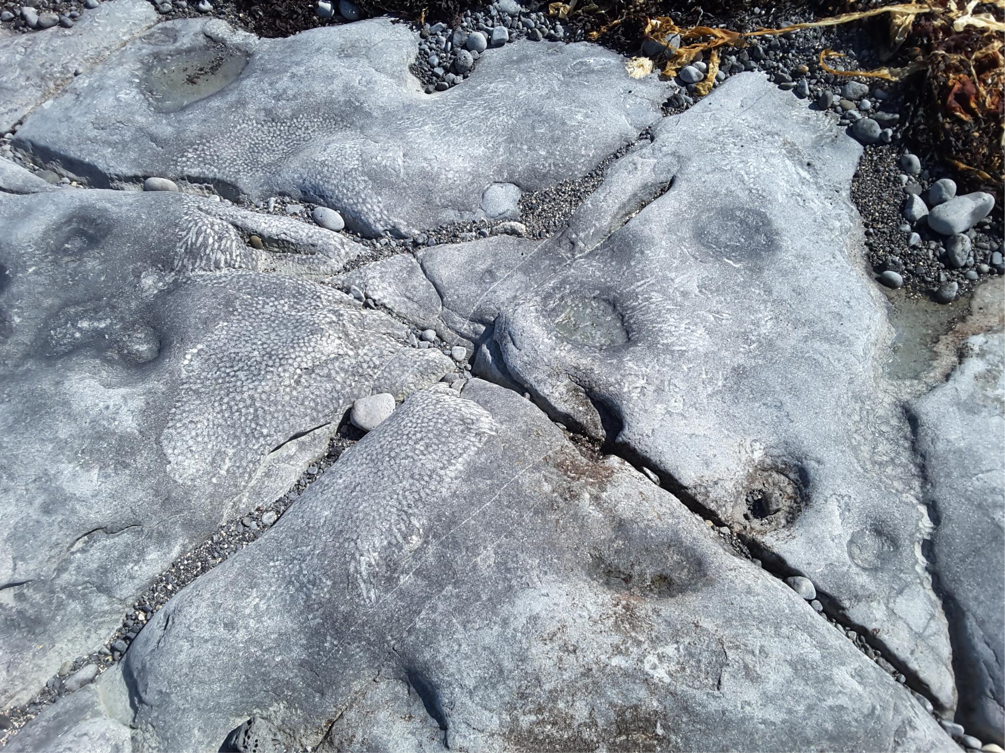
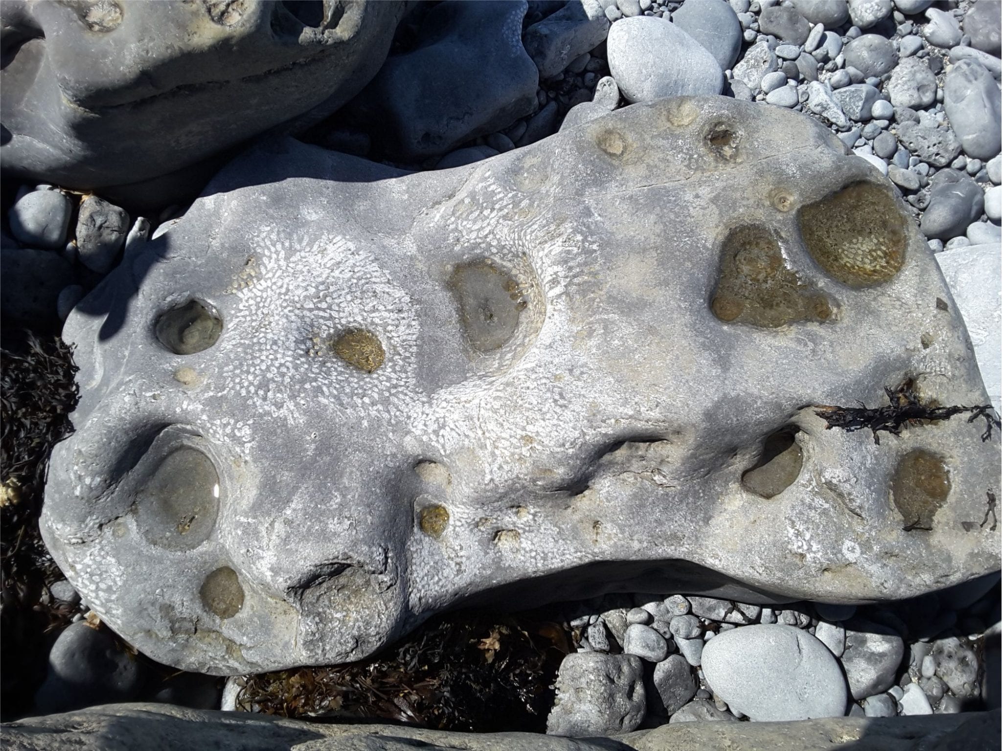
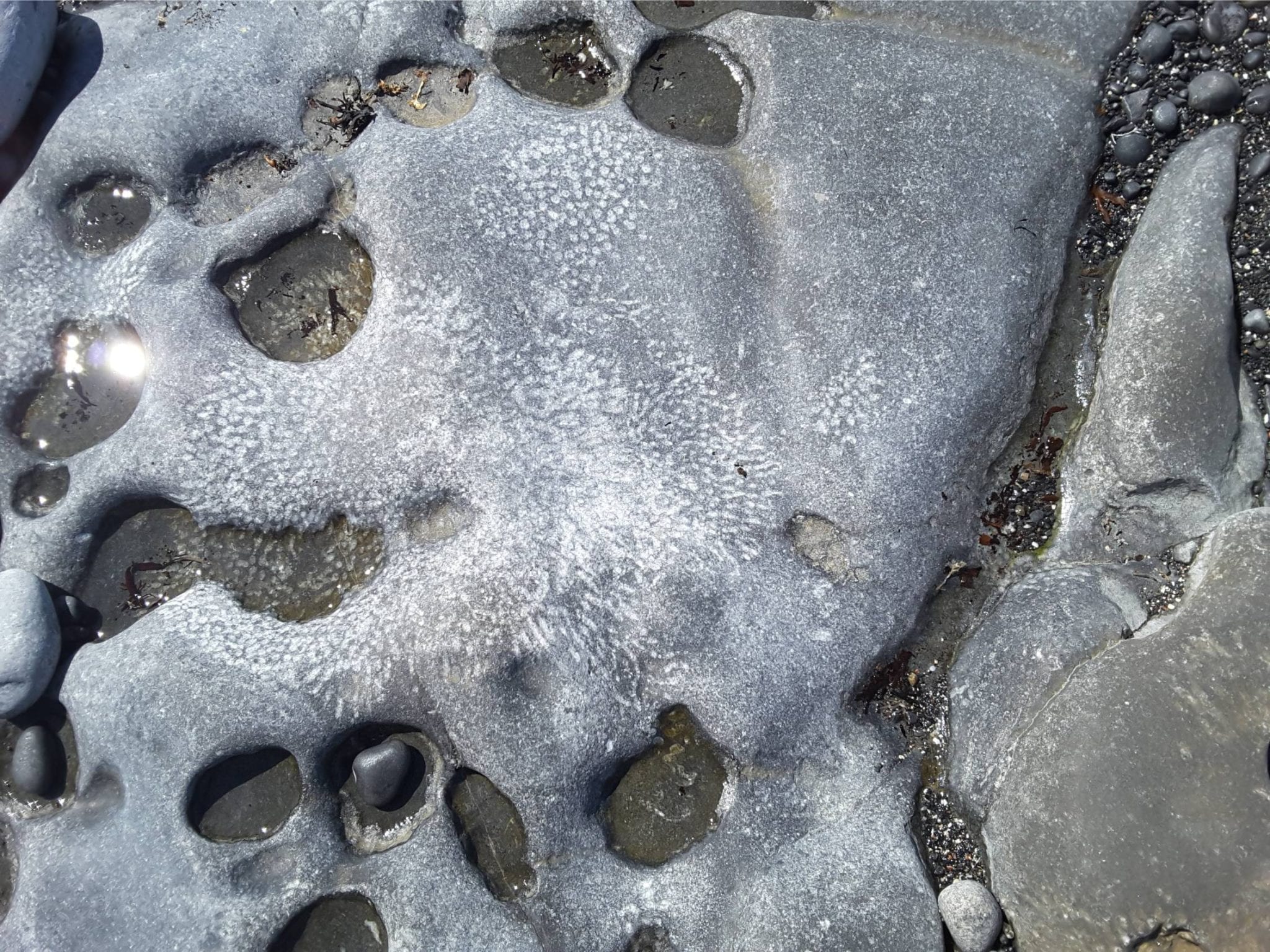
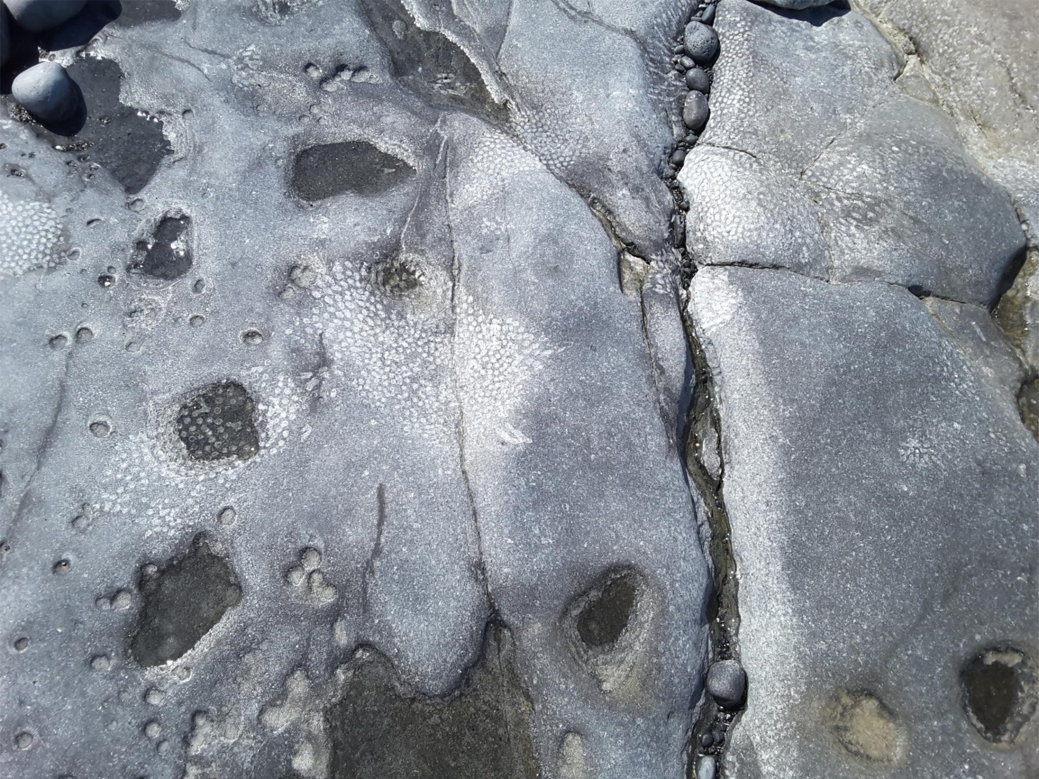
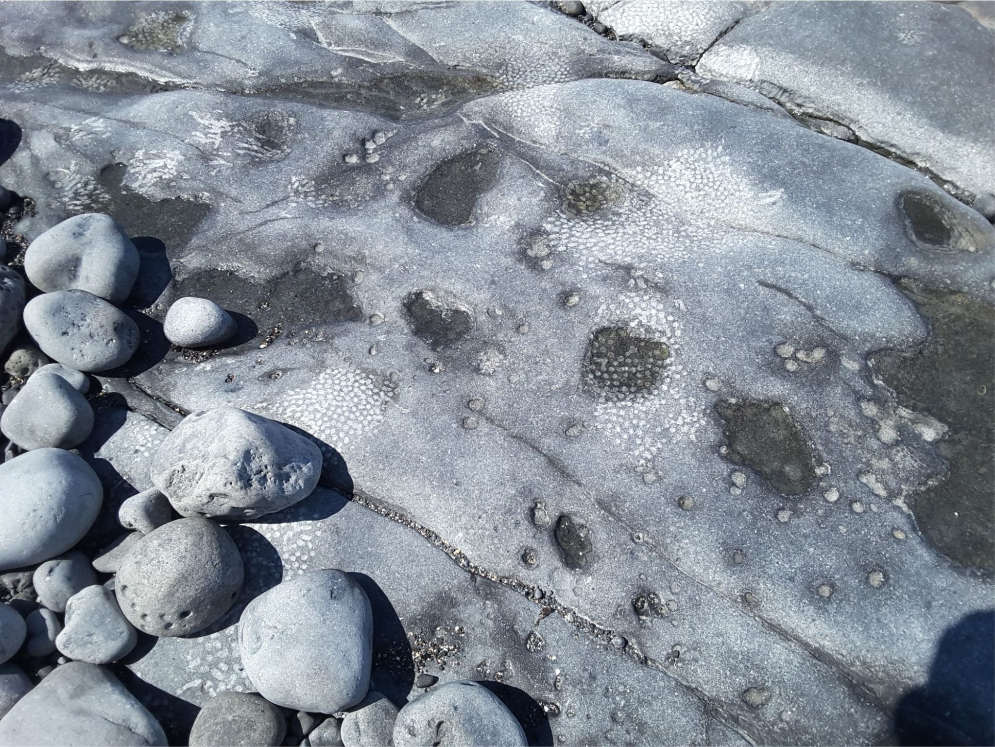
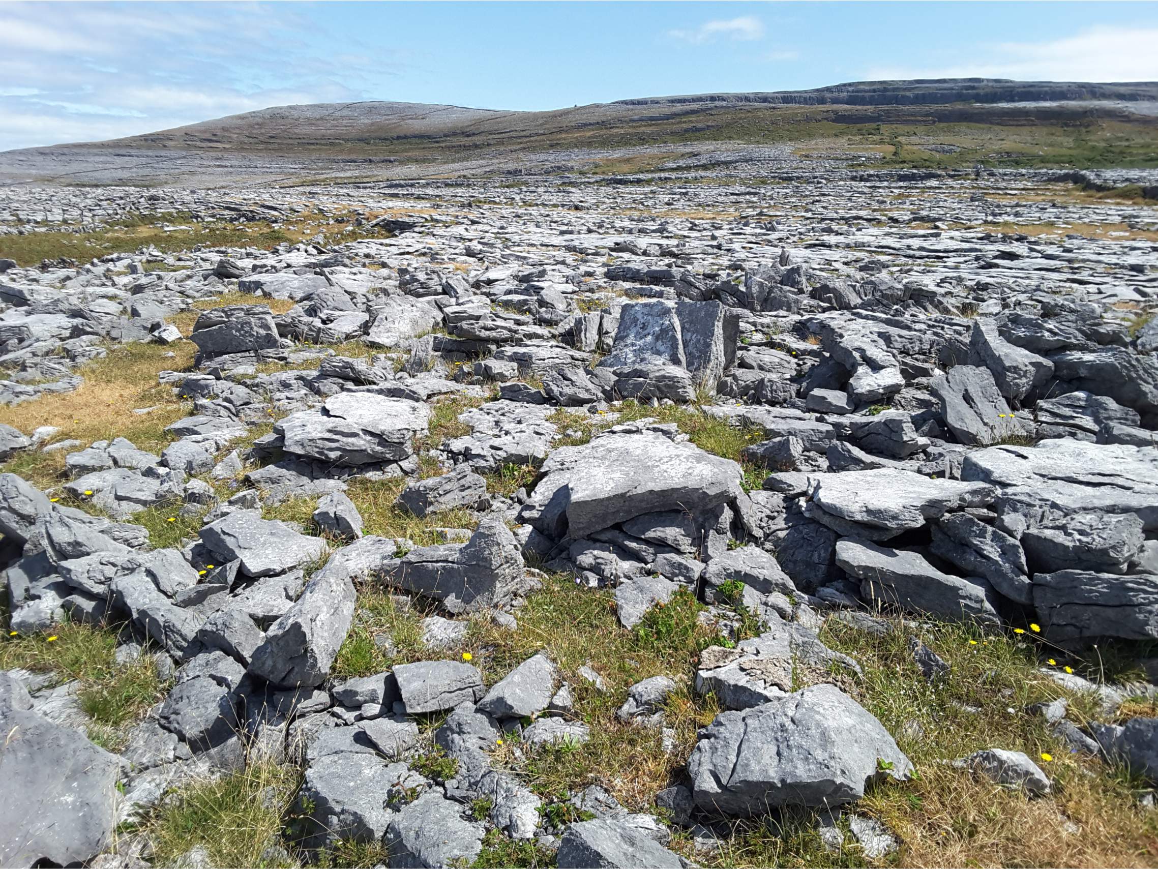
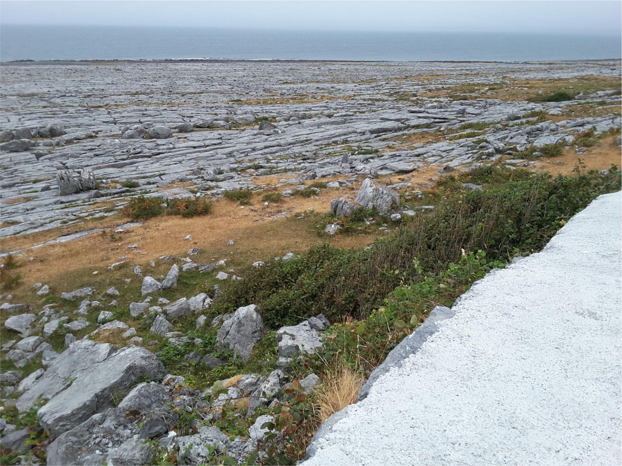
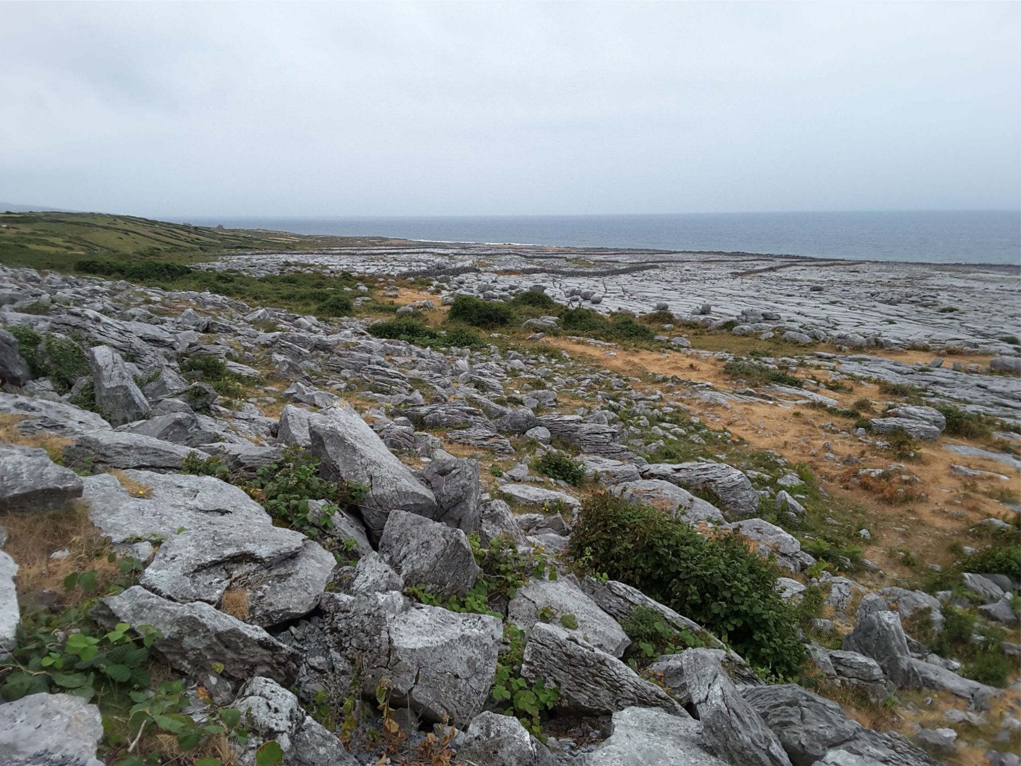
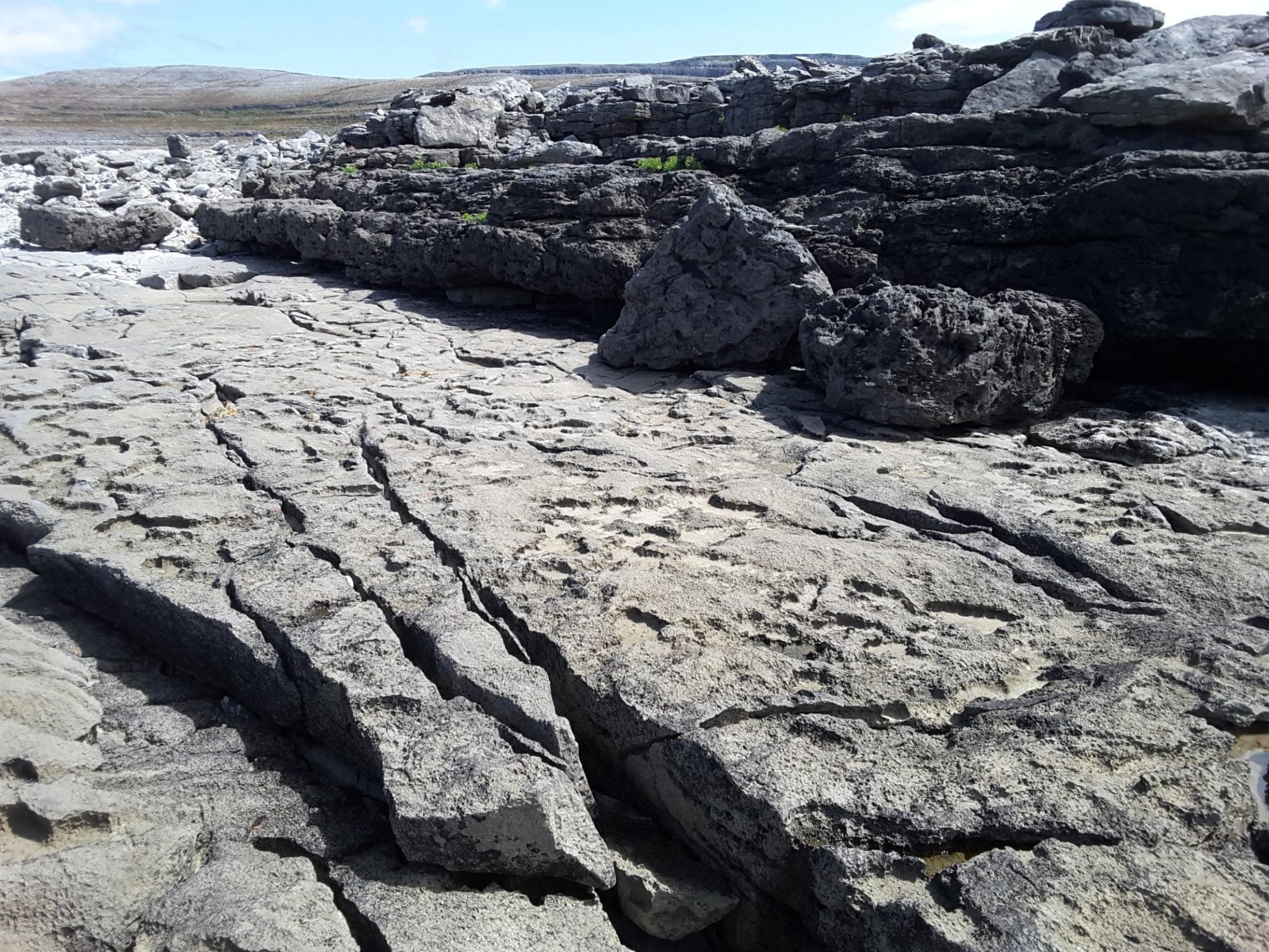
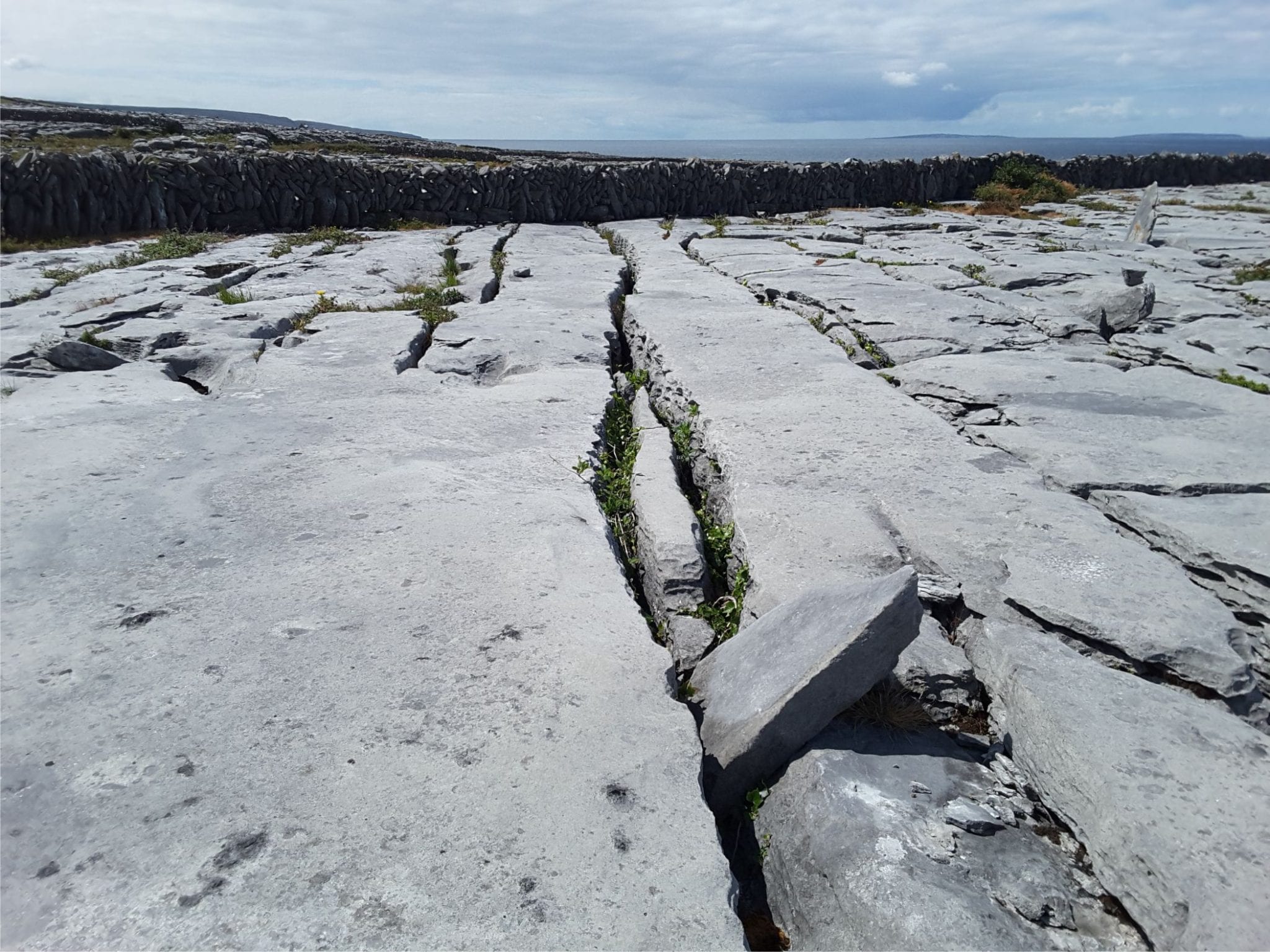
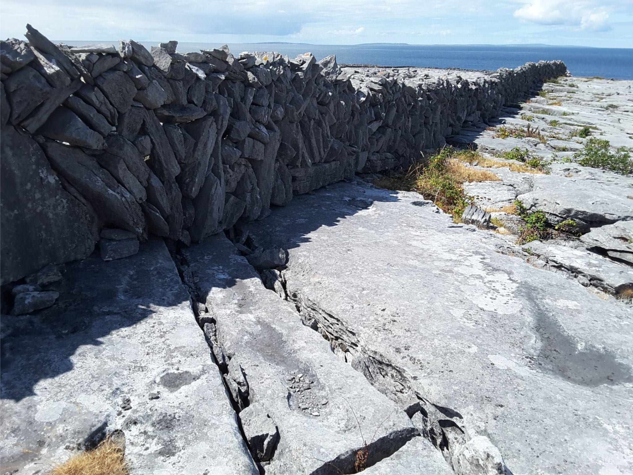
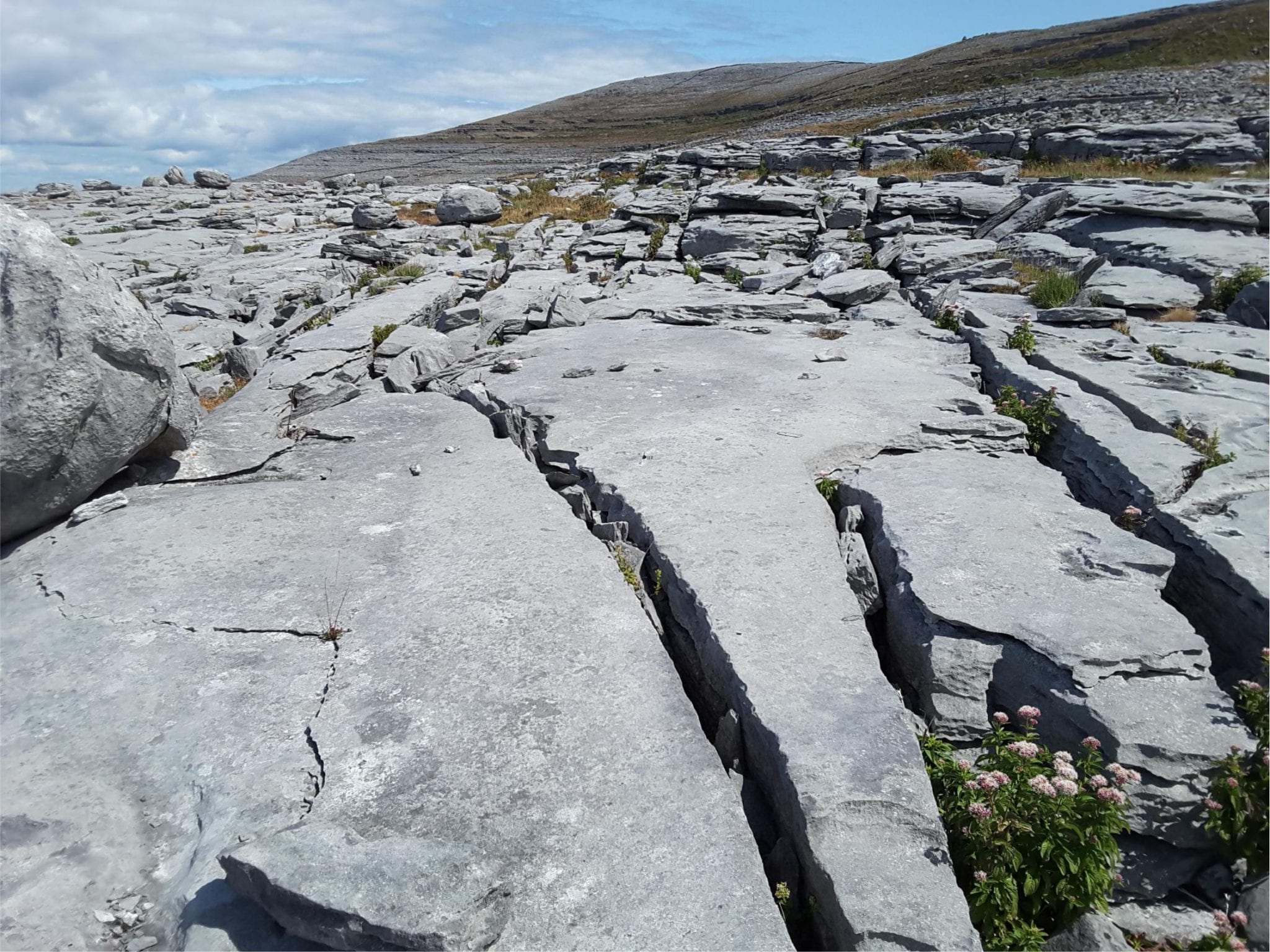
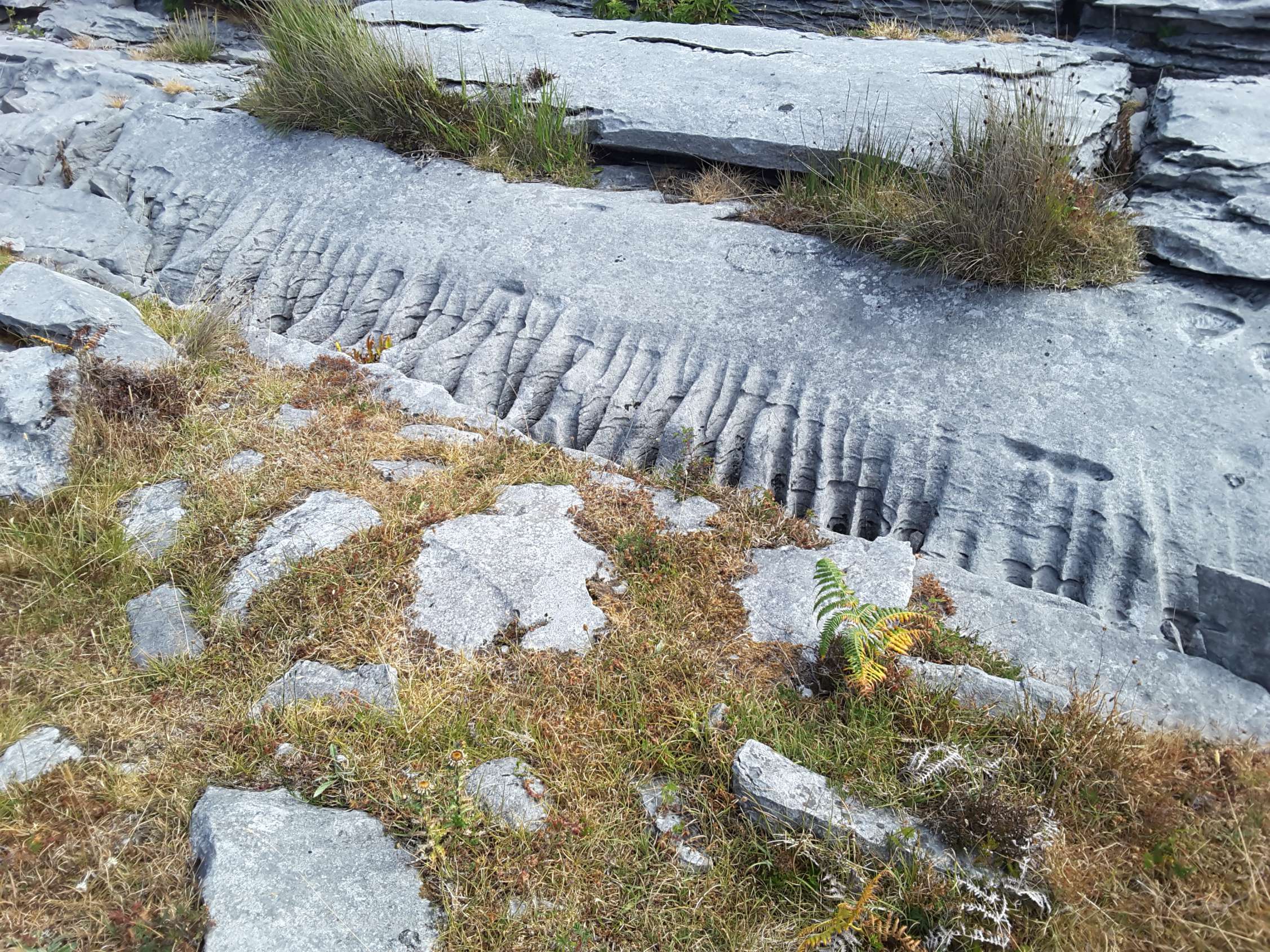
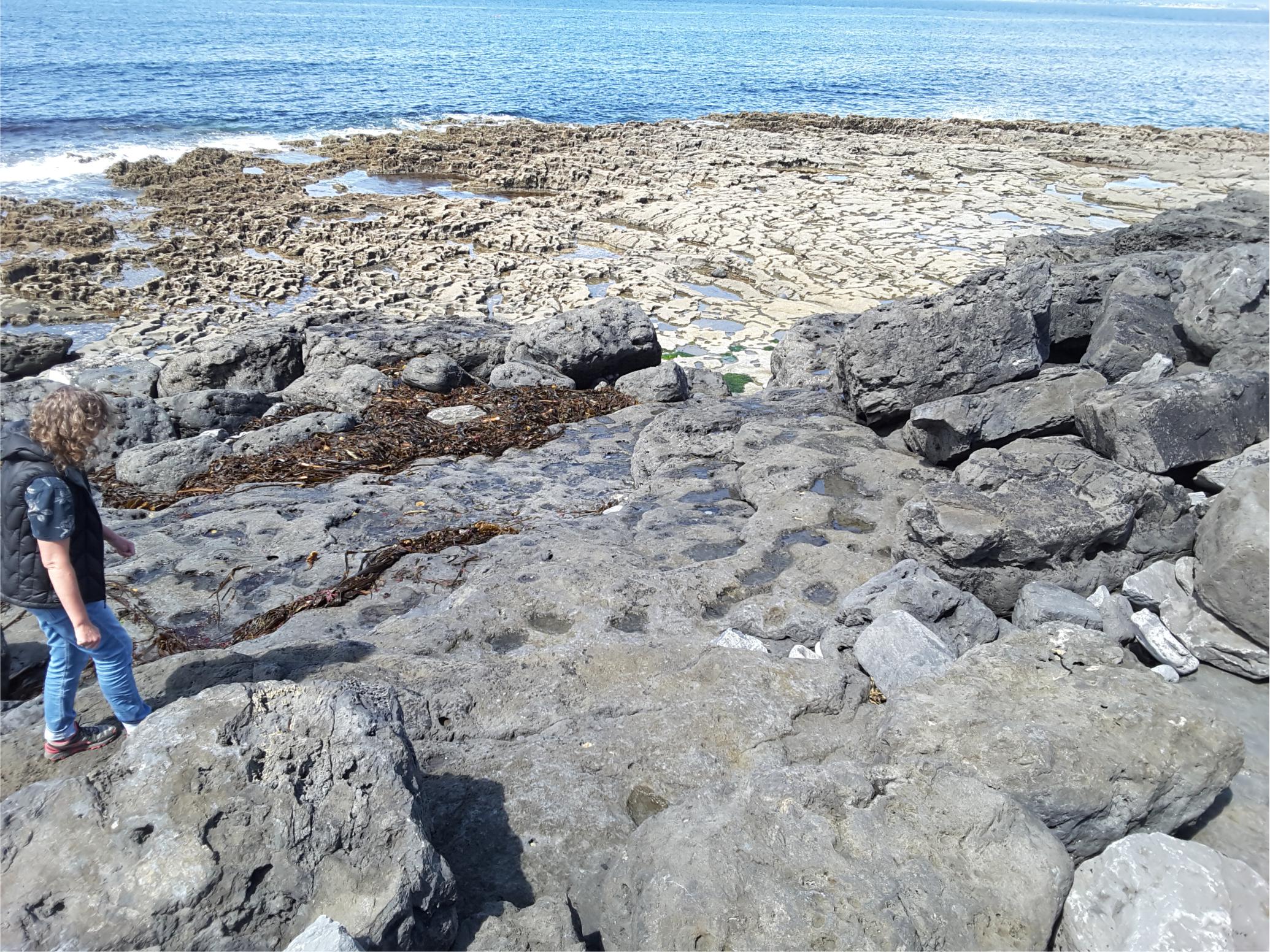
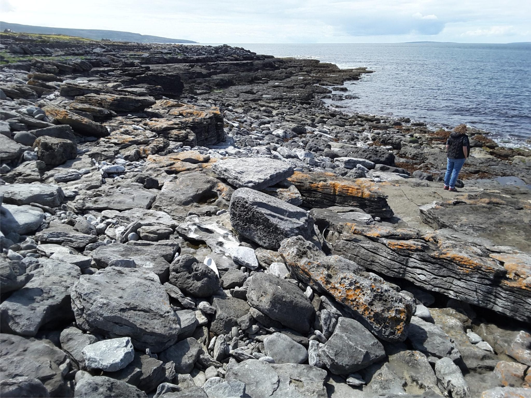
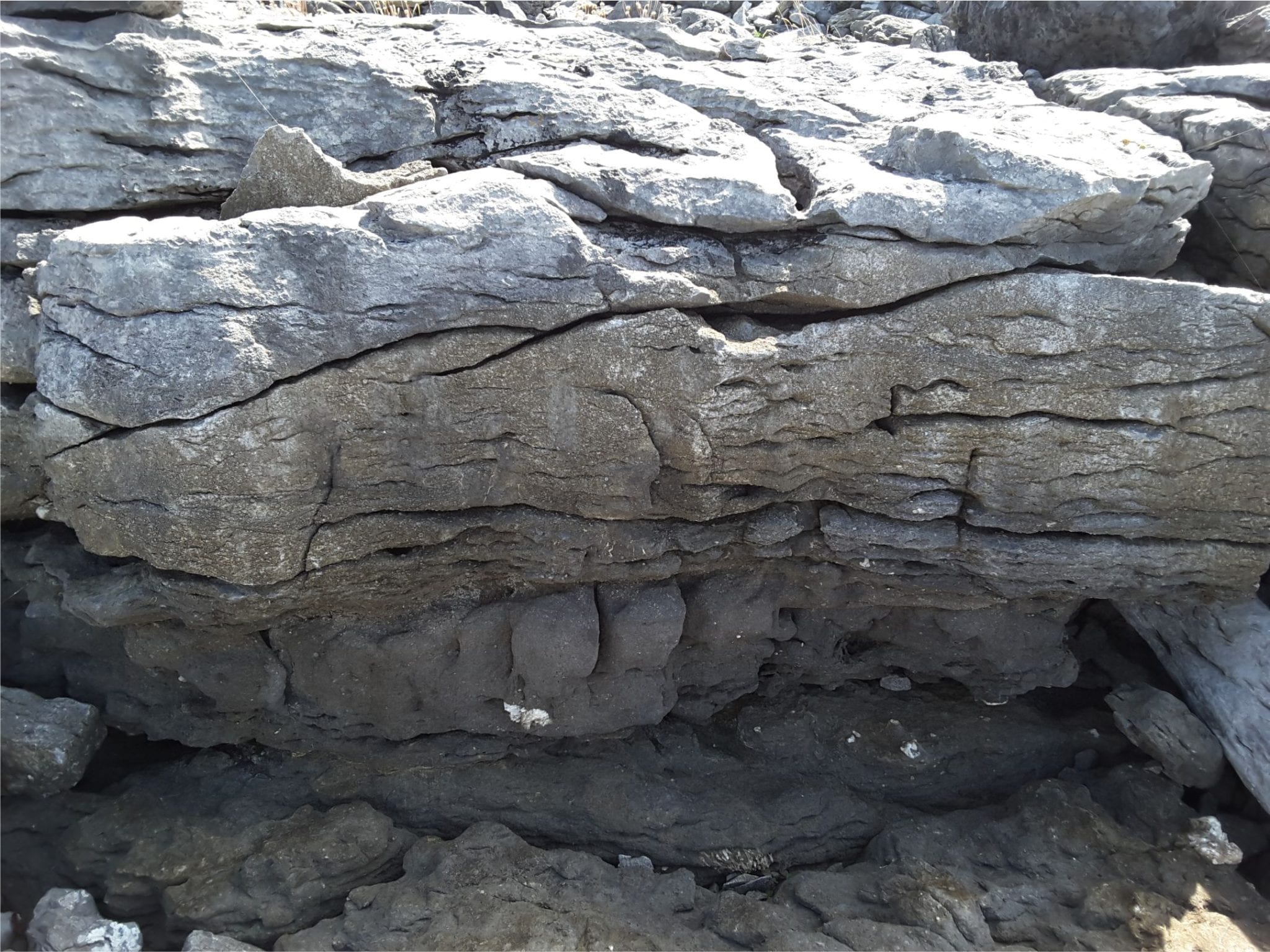
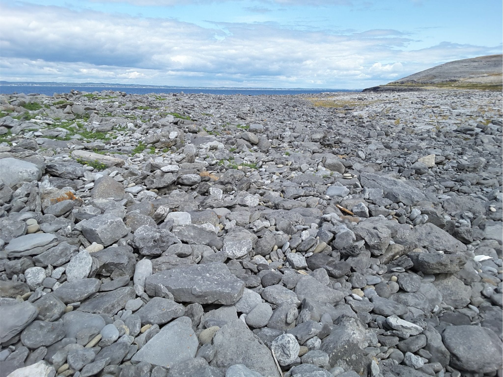
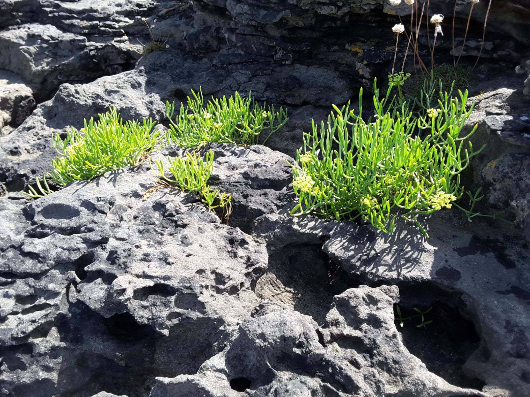
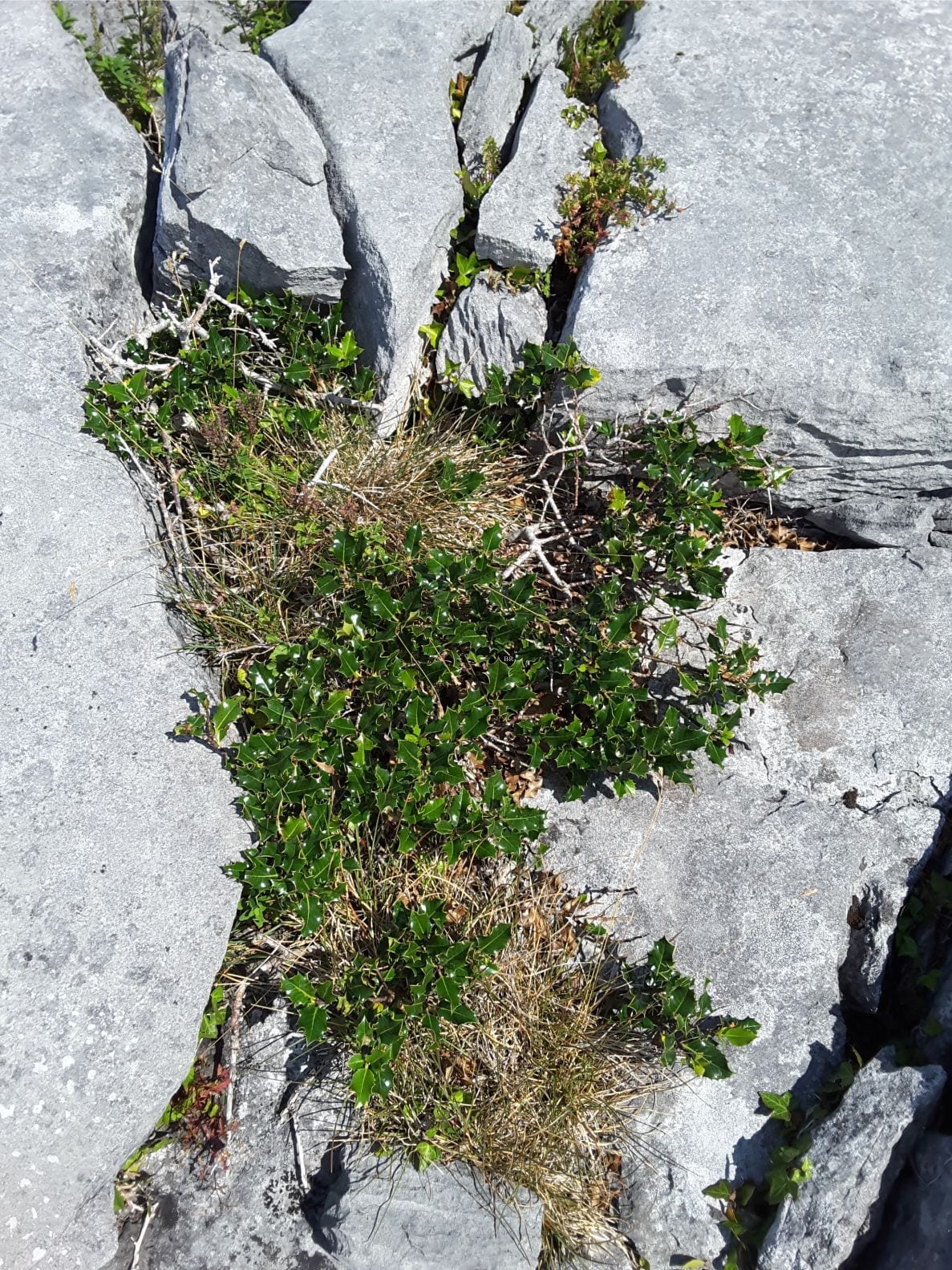
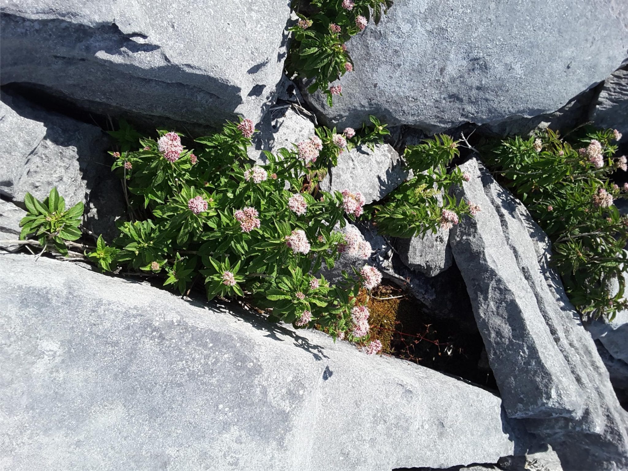
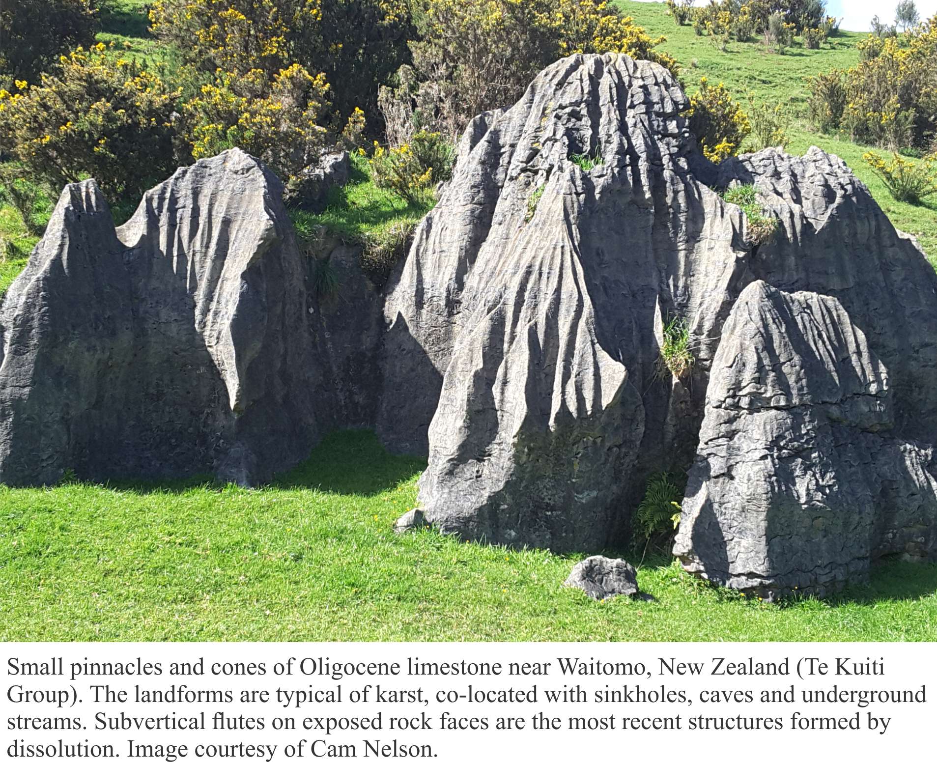
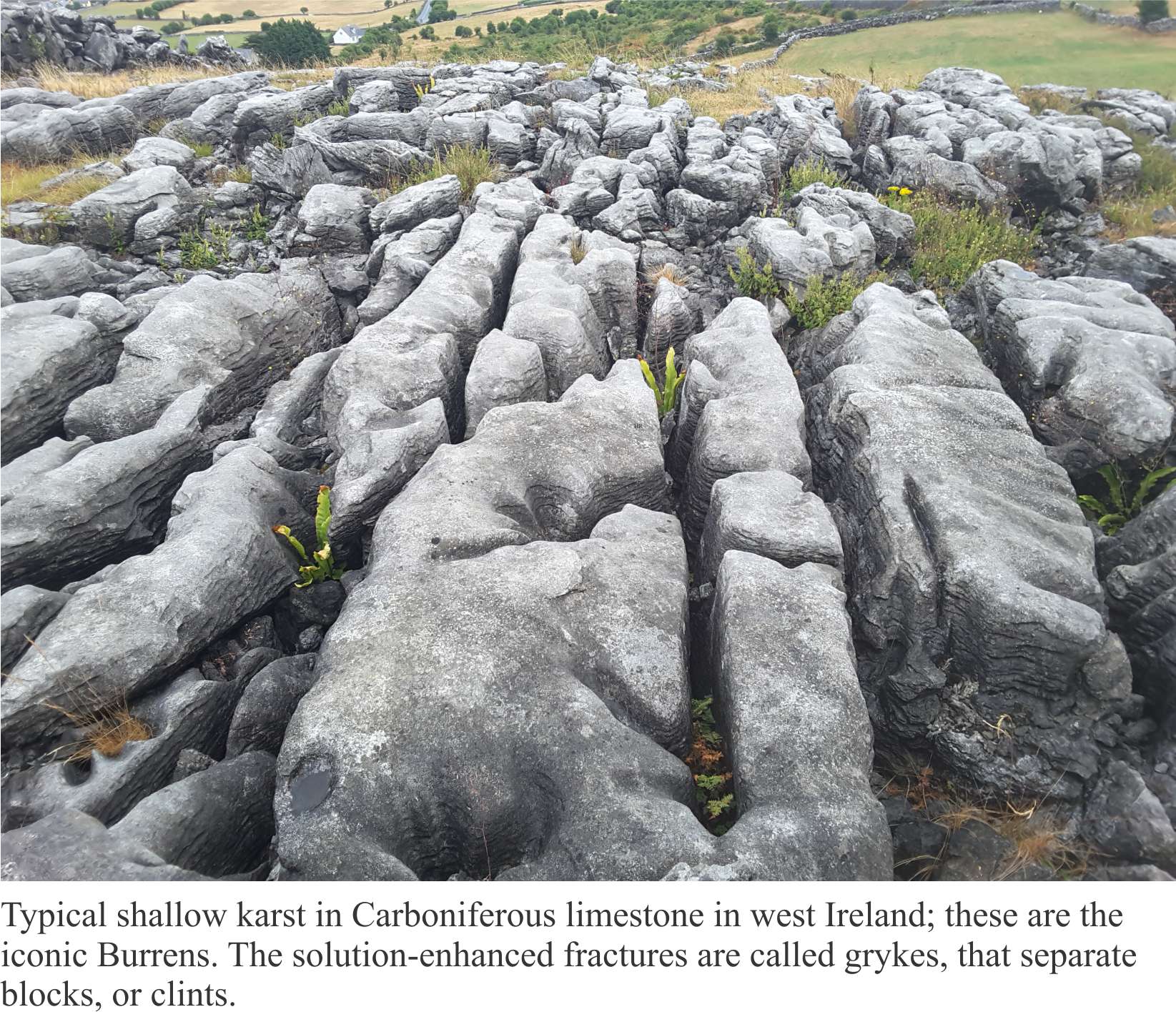
Karst surface and subsurface structures are sculpted in limestone, dolostone and evaporites like gypsum and anhydrite. In all cases, the primary process is dissolution in the meteoric vadose and shallow phreatic zones. Therefore, karst is best developed in humid climates: prime examples include the tropical-subtropical landscapes of South China, temperate New Zealand (on Oligocene limestones), and the glacial – post-glacial of Ireland (the Burrens, that are underlain by Carboniferous limestone).


Pinnacle karst in Oligocene Te Kuiti Gruop limestone, Waitomo, NZ


Clints and grykes in Carboniferous limestone, the Burrens, west Ireland

Karst formation provides a good opportunity to examine two competing diagenetic processes –  dissolution and precipitation in terms of solution saturation, chemical kinetics, and groundwater flow.


Dissolution controlled by calcite saturation

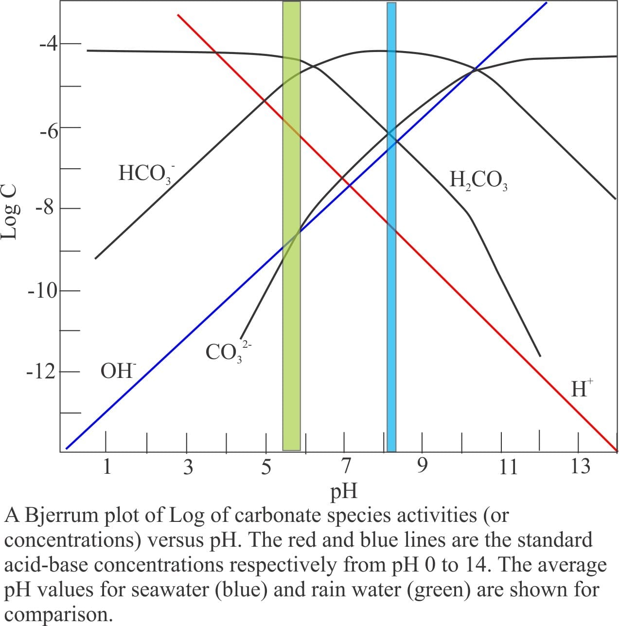
Dissolution of limestone at the Earth’s surface is summarized in the following reaction (keeping in mind that all the carbonate equilibria are involved depending on pH, temperature, and concentrations or activities):

CaCO3 + H2O + CO2(aqueous) → Ca2+ + 2HCO3                   (1)

An important determinant for calcite dissolution is the degree of saturation. Dissolution will take place in solutions that are undersaturated, precipitation in solutions that are over- or supersaturated with respect to calcite. For calcite, the degree of saturation in a solution is calculated by comparing its ion-activity product with the solubility product (i.e. the ion product if that solution were at equilibrium under the same conditions of temperature and pressure). The ratio between these two activity products is called the saturation (Ω). Ω values less than one indicate undersaturation, values greater than one over-saturation; a value of one indicates the solution is in equilibrium with solid calcite.

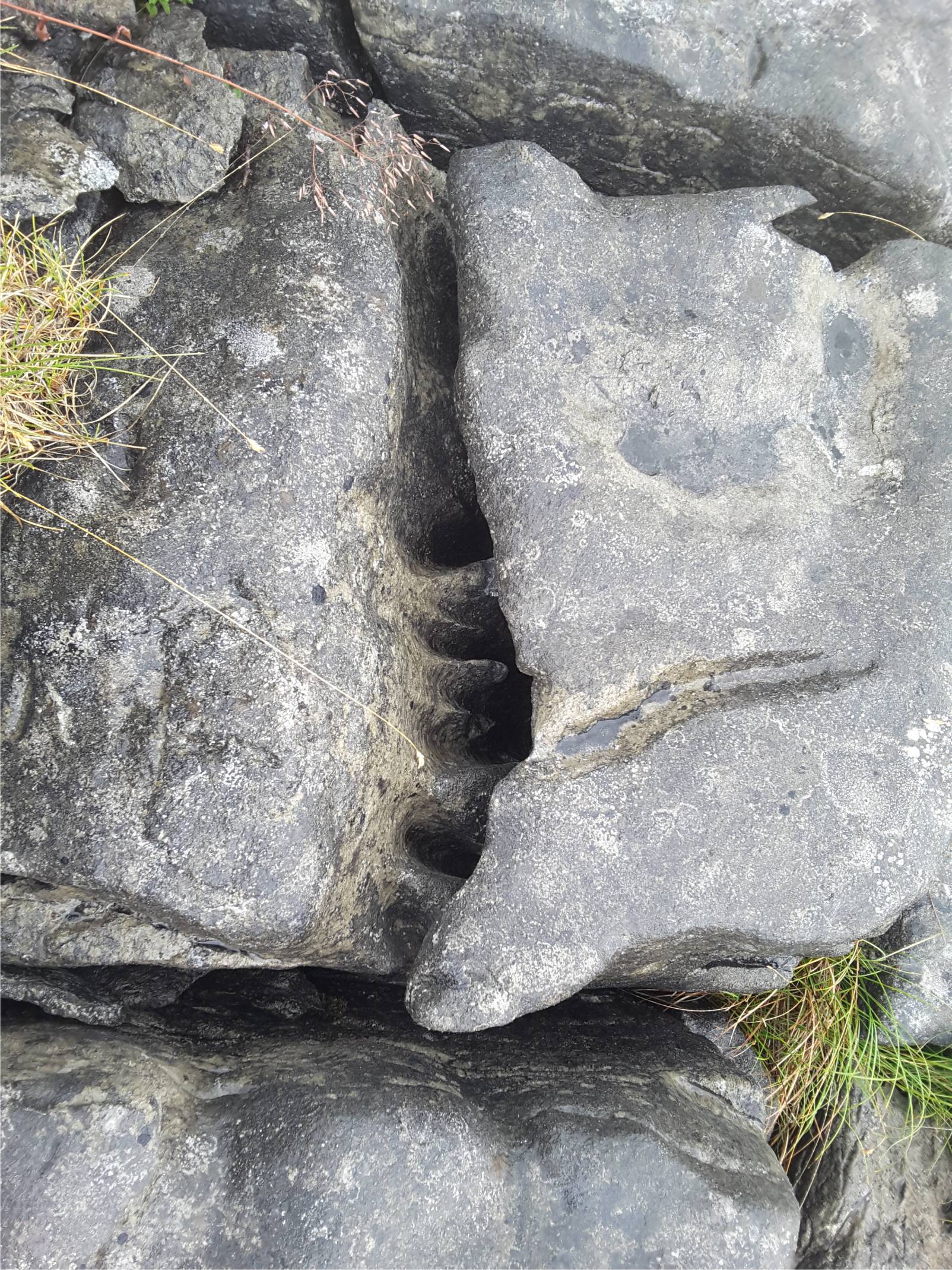
Rainwater contains dissolved CO2 and carbonic acid; the average pH is 5.5 to 5.8. As it filters through soils it may pick up additional CO2 from plant decay. Dissolution of limestone in the vadose and shallow phreatic zones proceeds rapidly because the water is highly undersaturated. As residence time increases in the phreatic zone, so too do the concentrations of dissolved carbonate species; there is a concomitant decrease in undersaturation and as a consequence,  a decrease in the rate of limestone dissolution. At some point in this process, the saturation approaches one and dissolution ceases.


Dissolution controlled by kinetics

At this stage in our deliberations we should remind ourselves that the discussion of limestone solubility and groundwater saturation is based on thermodynamic parameters such as ion activity and energy transfer, that together determine whether a chemical reaction will proceed.  What thermodynamics doesn’t do is describe the paths which these reactions take. This is the role of Chemical Kinetics.  What does this mean?

Kinetics deals primarily with two parameters: the rate at which reactions take place, and the path that chemical species take to form a reaction. Reactions in aqueous solutions involve collisions between at least two ion species. They may combine directly such as:

A + B (reactant ions) → C (product)

or via a smallish number of intermediate steps until the final product is formed (these intermediate steps are called elementary reactions). Each reaction step requires that the ions have a certain amount of energy before it can proceed – this is the activation barrier.

A → A*  (fast)

B → B*  (slow)

A* + B* → C where A* and B* are short-lived intermediate species.

The overall rate of a reaction is determined by the slowest intermediate reaction – the one that finds it most difficult to reach its activation energy (in this case the reaction involving B).

Knowing something about the kinetics of calcite dissolution and precipitation can help us decipher which processes are important in diagenesis, whether it is cementation on the seafloor or the formation of karst.

We can now look at the picture of limestone dissolution in a different context, summarized in the diagram below. Dissolution is rapid at high degrees of undersaturation because:

  • There are very few ion species competing for space on active crystal faces, and
  • Dissolved mass is moved rapidly away. From a chemical kinetic perspective, the reaction is controlled by the rate at which the dissolved mass is removed from calcite crystal surfaces and transferred to some other site (transport-controlled reactions); in groundwater systems this depends on groundwater flow rates. Thus, the reaction is probably a relatively simple A + B → C type.


Gneral trends for water composition in karst, showing the range of calcite dissolution-precipitation, saturation and pCO2

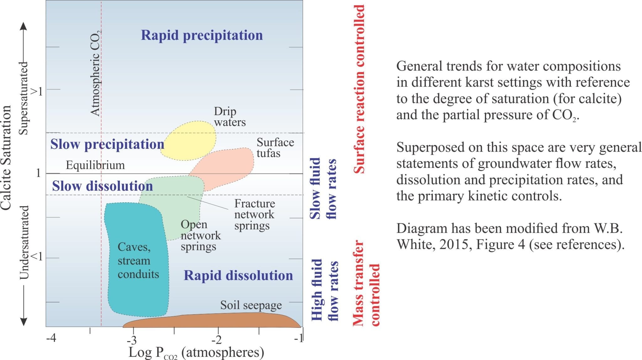
As the concentration of dissolved species increases (i.e. greater degrees of saturation) the number of molecular collisions also increases at calcite crystal surfaces. Thus, at low levels of undersaturation the rate of dissolution is controlled more by what is happening at the crystal surface – it is a surface controlled reaction and sensitive to factors such as adsorption of ion species on the surface, and dehydration of adsorbed species. For example, Ca2+ and CO32- in solution are surrounded by water molecules and for them to combine at the crystal surface, they need to shed this water (dehydrate). Under these conditions, slow intermediate reactions will determine the overall rate of dissolution.


Precipitation

Drip cements produce stalactites if the balance of atmospheric CO2 in the cave allows for supersaturation with repsect to calcite.


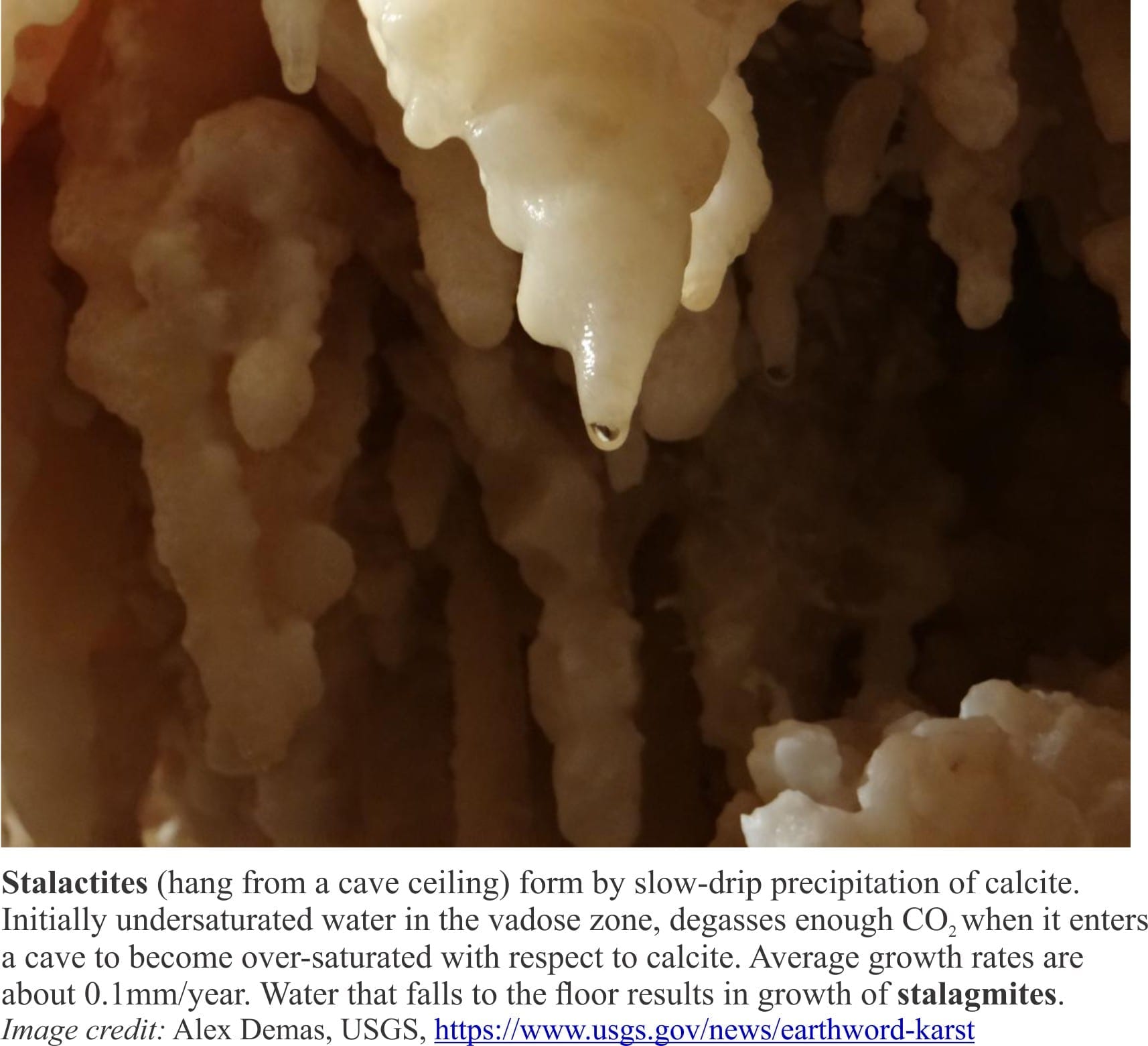
At some point in their seepage journey karst fluids are capable of precipitating calcite, commonly as drip cements in caves as water filters through the vadose zone (providing us with the spectacle of stalactites and stalagmites), and in tufas where groundwaters emerge as springs. For this to happen the solutions must be over- or supersaturated with respect to calcite. However, we also know that as saturation levels approach one there is no further dissolution and therefore no mechanism to increase dissolved carbonate species to levels of oversaturation. Some other process must intervene here to produce supersaturated conditions.

It is generally understood that the partial pressure of CO2 in water passing through the vadose zone is greater than that in cave atmospheres. As water enters a cave, the various carbonate equilibria will accommodate this change in pCO2 by degassing CO2, reducing the concentration of H2CO3, and pushing reactions (1) and (2) to the left.

CO2(gas) ← CO2 (aqueous) (2)

CaCO3 + H2O + CO2(aqueous) ← Ca2+ + 2HCO3 (1)

From a kinetic perspective, calcite precipitation under these conditions is surface controlled, aided in part by the availability of nucleation sites on the crystal surface and the delivery or removal of ion species by fluid flow.


Links to other posts in this series:

Mineralogy of carbonates; skeletal grains

Mineralogy of carbonates; non-skeletal grains

Mineralogy of carbonates; lime mud

Mineralogy of carbonates; classification

Mineralogy of carbonates; carbonate factories

Mineralogy of carbonates; basic geochemistry

Mineralogy of carbonates; cements

Mineralogy of carbonates; sea floor diagenesis

Mineralogy of carbonates; Beachrock

Mineralogy of carbonates; deep sea diagenesis

Mineralogy of carbonates; meteoric hydrogeology


References and useful texts

D. Ford and P. Williams. 2007. Karst Hydrogeology and Geomorphology. John Wiley & Sons.

J.W. Morse and F.T. Mackenzie 1990. Geochemistry of sedimentary carbonates. Developments in Sedimentology 48. Elsevier, Amsterdam, 707 p.

P.A. Domenico and F.W. Schwartz, 1997. Physical and Chemical Hydrogeology, 2nd Ed. John Wiley & Sons. 506 p.  This book focuses on groundwater but has an excellent section on aqueous chemistry.

USGS Glossary of karst terminology. 1972.    PDF version

W.B. White, 2015. Chemistry and karst. Acta Carsologica, v.44/3, p. 349-362. Full text available


Facebooktwitterlinkedininstagram
Facebooktwitterlinkedin

Mineralogy of carbonates; meteoric hydrogeology

Facebooktwitterlinkedininstagram

Oligocene cool water limesontes exposed in karst at Punakaiki Pancake Rocks, NZ


Meteoric diagenesis of carbonates – a competition between dissolution and precipitation.

This is part of the How To…series  on carbonate rocks


Marine carbonates may, during their geological evolution, be exposed by a fall in relative sea level (eustatic, shoreline retreat forced by progradation, tectonic uplift). The subsequent displacement of seawater by freshwater is rapid, the resulting meteoric diagenesis is profound. The influx of freshwater changes the stability of those mineral phases that were stable or metastable in seawater – principally aragonite, high-Mg calcite in bioclasts, frameworks, ooids and cements. As such, meteoric diagenesis involves significant dissolution of CaCO3. However, experience shows that redistribution of dissolved carbonate results in precipitation in calcretes and caliches, eolianites (cemented dune sands), and deeper pore-filling calcite spar mosaics; most of these cements are low-Mg calcites.


Schematic of the components of meteoric hydrology and diagenesis

Meteoric diagenesis is entirely dependent on the flow of fresh water to remove dissolved mass (solute) and redistribute it to sites of calcite precipitation. The freshwater itself occurs in two broad settings:

  • the surface, where precipitation flows overland as sheet runoff or streams, and infiltrates soils and permeable rock, and
  • beneath the surface in aquifers.

Surface diagenesis begins with rain, that is weak carbonic acid because of dissolved CO2 – rain is usually in equilibrium with atmospheric CO2. The average pH of rain is 5.5 to 5.8 ( average seawater pH is 8.0 to 8.1). Corrosion of limestone building materials is an obvious manifestation of calcite dissolution.


Advanced acid rain dissolution of limestone in astatue from St Pauls Cathedral, London


Likewise, development of karst landscapes, sinkholes, caves and subterranean streams are all products of limestone dissolution. Some of the dissolved mass is precipitated as calcretes (caliche, paleosols), fracture-fill spar, stalactites (the ones that hang from the ceiling), stalagmites and cave pearls where waters reach saturation levels and partial pressure of CO2 is reduced.


Clints and grykes in karsted carboniferous limestone, Burrens, Ireland


Polished rock slab showing vadose pisoids in a Peleoproterozoic caliche


The unsaturated zone

The interval of infiltration is called the unsaturated zone by hydrogeologists, but limestone aficionados prefer to call it the vadose zone; it extends down to the watertable. It is the interval of porous and permeable sediment or rock in which pore spaces are mostly air-filled and where air pressure is close to atmospheric. Residual water may be present at grain contacts as menisci (because of surface tension); these may act as sites for meniscus cements.

Some of the water in the vadose zone will reach the watertable (groundwater recharge), some of it will be taken up by plants, and some released by evapotranspiration. Two processes act to modify rainwater chemistry:

  • Soil formation and break-down of organic matter to humus that releases humic acids and CO2; thus, the partial pressure of CO2 may increase and the pH decrease.
  • Dissolution of limestone and carbonate sediment produces Ca2+ and CO32- , but at pH between 5 and 6 the dominant species are HCO3 and H2CO3. A typical plot of species concentration versus pH is shown below.

All these dissolved products enter the groundwater system.


Bjerrum plot of activity versus pH for common aqueous carbonate species


The saturated zone

Pore spaces below the watertable are filled with water; this is the saturated or phreatic zone. Furthermore, groundwater is always on the move, driven for the most part by gravitational potential energy imparted by topography. Porosity is of several types: intergranular, intragranular (e.g. the chambers of gastropods), secondary porosity formed by dissolution of metastable components, fractures, and cavernous porosity formed by solution collapse (sink holes (dolines) and underground streams.


Aquifers

There are two fundamentally different kinds of aquifer:

  • Unconfined aquifers, sometimes called watertable aquifers. The watertable is the boundary between the vadose and saturated portions of the aquifer. Drainage in an unconfined aquifer is by gravity. If an unconfined aquifer is drained there is no change in the organization or packing of grains. The position of the watertable fluctuates seasonally, depending on the balance of evaporation, drawdown by vegetation (and people), and recharge.
  • Confined aquifers are bound by sediment or rock layers that retard flow (aquitards). They are always saturated (even when drawn down by pumping). In natural systems, there is usually a balance between recharge and discharge of water, but if this balance is upset (e.g. during an extended dry period), then the aquifer framework (i.e. clast support) will respond elastically.

The chemistry of groundwater evolves over time. Rainwater is usually devoid of dissolved salts, but once it enters a groundwater system, biochemical reactions in soils, and inorganic reactions involving carbonates, clays (particularly ion exchange) and other silicate minerals, will add or subtract ion species that can be involved in other reactions. Like their sedimentary cousins, groundwater chemistry can be represented by chemical facies, for example water my be dominated by Ca2+ or Fe3+, or CO32- or SO42-, depending on the composition of aquifer materials. Migration of groundwater through different rock-sediment types is commonly manifested in a change from one chemical facies to another. Tracking this chemical evolution is useful for two reasons: it provides a record of where the water has resided, and may provide clues to changes in the precipitation history of rocks. For example, partitioning of trace elements in zoned calcite cements will record changing pore water compositions.


Piper plot of groundwater chemical facies from different aquifers

Groundwater at the shoreline

The interaction between groundwater and seawater can have a profound effect on carbonate diagenesis. Groundwater doesn’t just cease to flow at the shoreline – with enough hydraulic drive it can extend many kilometres beneath the sea floor, exiting as freshwater seepage and springs. One celebrated example is located beneath the Florida carbonate platform where exploratory drilling in 1965 discovered fresh and brackish water in boreholes up to 120km offshore and 130m below the sea floor. In one borehole fresh water flowed 2m above the ship’s deck (Manheim, 1967). Seepage of fresh or brackish water will affect local biotas and the relative stability of metastable carbonates, both in the rocks through which the groundwater flows and at the seafloor. This is illustrated in a great example from Yucatan Peninsula (link kindly provided by Nigel Platt – © Nigel Platt, Edison E&P UK Ltd).  Here, fresh-water springs across the shallow platform at Casa Cenote, Tankah Beach upwell through the platform carbonates.  Freshwater is recharged from the highlands a few 100 km inland. Flow to the coast is focused through a complex network of  limestone caves.

The watertable in coastal unconfined aquifers will tend to merge with the shoreline. Coincidentally, a wedge of seawater will develop landward of the shore below the fresh groundwater. It’s position below the freshwater is dictated by density differences. The boundary between seawater and groundwater is a zone of mixing. A reasonable approximation of the depth to the groundwater-seawater boundary is expressed in the Ghyben-Herzberg equation, shown in the diagram above:

z = h.ρf / ρs – ρf

where z is the depth to the interface from sea level, h the watertable elevation, ρs (1.025 gm/cc) and ρf (1 gm/cc) the densities of seawater and freshwater respectively, such that

z = 40h

An important corollary is that for every unit decrease in watertable depth (h) there will be a corresponding 40 unit rise in the interface (and vice versa).

The interface is dynamic and will respond to both short term changes (e.g. seasonal fluctuations in recharge, pumping) and longer geological intervals, migrating with excursions of the shoreline during rising or falling sea levels. Again, from a geological perspective, this means that boundary between fluid environments that determine carbonate mineral stability, will also be dynamic.


Links to other posts in this series:

Mineralogy of carbonates; skeletal grains

Mineralogy of carbonates; non-skeletal grains

Mineralogy of carbonates; lime mud

Mineralogy of carbonates; classification

Mineralogy of carbonates; carbonate factories

Mineralogy of carbonates; basic geochemistry

Mineralogy of carbonates; cements

Mineralogy of carbonates; sea floor diagenesis

Mineralogy of carbonates; Beachrock

Mineralogy of carbonates; deep sea diagenesis

Mineralogy of carbonates; Karst

Mineralogy of carbonates; Burial diagenesis

Mineralogy of carbonates; Neomorphism

Mineralogy of carbonates; Pressure solution

Mineralogy of carbonates; Sabkhas


References and useful texts

Manheim, F.T. 1967, Evidence for submarine discharge of water on the Atlantic continental slope of the southern United States, and suggestions for further research New York Academy of Sciences Transactions, Series 2, v.29, p. 839-853.

Robin G.C. Bathurst, 1976. Carbonate Sediments and their Diagenesis. Elsevier, Developments in Sedimentology, 12. 658p. An example of the longevity and utility of one of the best on this topic. Now also as an ebook.

Noel James and Phillip Choquette.1984. Diagenesis 9. Limestones; The meteoric environment. The Canada Geoscience Series on Carbonate Diagenesis is available from the CGS archive.

Noel James and Brian Jones. 2015. The origin of carbonate sedimentary rocks. American Geophysical Union, Wiley works, 464p.An excellent recent update.

Peter Scholle and Dana Ulmer-Scholle, 2003. A colour guide to the petrography of carbonate rocks: grains, textures, porosity, diagenesis. AAPG Memoir 77. Loaded with images.

Erik Flugel. 2010. Microfacies of carbonate rocks: Analysis, interpretation and application. Springer. The ebook is cheaper

Facebooktwitterlinkedininstagram
Facebooktwitterlinkedin

Atlas of soils and weathering

Facebooktwitterlinkedininstagram

typical soil profile

Soil, dirt, mud; weathering processes

The stuff kids get covered in when they’re having fun.

A veneer on Earth’s crust that provides sustenance in one form or another for all land-air living creatures, including us.  Without soils there would be no food web. No us!

Homo sapiens has learned to use soil to her advantage; growing things to eat, to construct shelter, to decorate. We have learned to utilize soils to the hilt. In fact on a global basis we have  taken so little care of them that they have become an endangered species. In our haste to produce food, to irrigate, to scythe through forests, to clear land for some other use, we have damaged soils, in many cases beyond repair.  Humanity, in its ignorance, greed and hubris, has managed to seriously compromise the utility of soils – the very things that make life viable.

From a structural perspective soils are quite simple; there is topsoil that contains a mix of organic matter derived from plants, macro- and micro-organisms, plus minerals derived primarily from the underlying sediment or rock (parent material).  This structure is illustrated in the profile image above.

From a biological perspective, soils are complex. Apart from the obvious worms and small critters, there is a burgeoning microflora – fungi and bacteria; and it is the microflora that does most of the work to create a vital growing medium. The microflora breaks down fresh organic matter converting it to humus, and converts nutrients like nitrogen, potassium, phosphorous and many trace elements, into water-soluble forms that plants can metabolize. A vital topsoil requires a healthy microbiota. Soils that are regularly exposed to herbicides, bactericides and fungicides will, over time, become depauperate in useful microflora.

soil fungal threads

Classification of soils can be complicated. In this Atlas I use a simple textural classification, summarized in the diagram below. It is a US Dept. of Agriculture classification; most other countries use this or slightly modified versions.

This link will take you to an explanation of the Atlas series, the ownership, use and acknowledgment of images.  There, you will also find links to the other Atlas categories.

Click on the image for an expanded view, then the ‘back page’ arrow to return to the Atlas.

The images

soil profile                   soil on volcanic ash

Left: Silt-sand loams developed on Late Pleistocene fluvial pebbly volcaniclastics (Hinuera Formation, Waikato, NZ). The transition from modified sediment to parent material is irregular. Right: Topsoil developed on multiple ash layers; remnants of an older (fossil) soil is located above the pale band of ash (Waikato, NZ).


soil on ignimbrite                   soil on co-ignimbrite ash

Thin (pumice) loam on  airfall ash, that overlies partly welded ignimbrite (the orange ash layers may be co-ignimbrite). Iron oxide staining indicates groundwater seepage and mineral alteration. Mamaku, north of Rotorua N.Z.


soil on paleotopography

Three sets of small V-shaped paleovalleys and intervening ridges cut into welded Mamaku Ignimbrite (about 220,000 years old), draped by at least three ash fall deposits and thin paleosols (paleosoils). The entire outcrop is overlain by a more recent soil and modern vegetation. North of Rotorua, NZ


soil on coastal plain gravels

Thin sandy loam topsoil and iron-stained layer on coastal plain gravels. The upper part of the topsoil has been disturbed by cultivation. The normal position of the watertable is at the transition to gray gravel. Kaiua, Thames coast east of Auckland, NZ.


soil on sand dunes                     soil on sand dunes

Eroded sections of coastal dunes, Raglan, N.Z.. Spinifex roots penetrate up to 2m into the sand. Soils here are very low in organic matter, almost 100% sand with high permeability and little capacity for water retention.


Spinifex roots in sand                       sand dune vegetation

Coastal dune root systems (Spinifex and Lupin). Much of the organic matter is oxidized rapidly. Dune instability means that topsoil formation is meagre.


Pleistocene paleosols                          Pleistocene soil profile

Pleistocene dune sands are overlain by peat and leaf litter from an ancient coastal, Podocarp forest. Left: Old dunes cut by an uplifted marine terrace, capped by peat.  Right: Cross-bedded dune sands overlain by thin woody peat (O layer). The B layer here is sand enriched in iron oxides precipitated by ancient fluctuating water tables. Great Exhibition Bay, northern NZ


Pleistocene peat                       Pleistocene peat profile                     Pleistocene peat profile

Pleistocene woody peat and leaf litter at top (O layer), underlain by thick, blocky weathered, silt loams with abundant roots and buried logs. Great Exhibition Bay, northern NZ


reduction spots in sand dune                          reduction spots in dune sand

Semiconsolidated, cross-bedded Pleistocene dune sands beneath a peat. Here, the parent sands have reduction spots derived from leaching of iron oxides. Great Exhibition Bay, northern NZ


Liesegang rings

Liesegang rings are a common manifestation of shallow weathering in permeable sandstone.  The ring-like patterns form as iron oxides precipitate in concert with migrating groundwater. Mokau Sandstone, north Taranaki, NZ


soil iron pan in sand dunes                       interdune lake deposits

Left: Remnants of a soil formed over stabilized Pleistocene dune sands. The abrupt steep-dipping contact with a younger set of dune deposits is delineated by resistant limonite pans. Right: The muddy loam indicated as ‘P’ represents a small Pleistocene interdune pond or lake; here overlain by multiple dune crossbeds. Kariotahi, west Auckland, NZ


Above left and right: Spheroidal weathering of basalt flows associated with the Late Pliocene Karioi Volcano. Spheroids are bound by columnar joints from the original flow. Right image shows incipient honeycomb weathering of the spheroid surface, from continued sea spray and salt precipitation.


Above left and right: Honeycomb weathering of spheroids on basalt flows exposed to continuous seawater spray. Late Pliocene Karioi Volcano. Spheroids are bound by columnar joints from the original flow.


spheroidal weathering in sandstone                             spheroidal weathering iron pan                                            Chemical weathering of bedrock. : Spheroidal weathering in an andesite lava flow promoted by mineral dissolution in shallow percolating groundwater. Late Pliocene Karioi volcano. Left and Right: A mix of spheroidal weathering and iron oxide precipitation in indurated Triassic sandstone-shale, where alteration patterns are strongly influenced by bedding and fractures; Kiritehere, NZ


muddy loam profile                            silt clay loam profile

Left: Profile of muddy loam developed on weathered turbidite sandstone-mudstone. Near Wellsford, north Auckland NZ. Right: Silty clay loam developed on Carboniferous shale, Cliffs of Moher, west Ireland


Alpine clay gravel loam                          Alpine clay gravel loam profile                      Alpine clay gravel loam profile

Gravelly clay loams and clays developed on steep alpine mountain slopes, Mt. Garibaldi, British Columbia. The organic layer is either very thin or absent. On the left, the parent material is probably lacustrine clay.


stoney silt clay loam Tuscany                      stoney silt clay loam Tuscany                     stoney silt clay loam Montefioralle

Typical stoney silt-clay loams of Tuscany; the location of Chianti Classico and olives. Bedrock parent material consists of Cretaceous-Paleogene marls, sandstones and shales. Left and Center: The 12th century fortification is Monteriggioni. Right: The hilltop village of Montefioralle.


permafrost soil                       patterned ground in permafrost

Arctic soils riven with permafrost. Left: Frozen muddy loam undergoing summer melt. Right: typical patterned ground in Arctic tundra.


weathered Atacama alluvial fan                            Atacama desert varnish

Arid soil in the Chilean Atacama commonly lack any organic component. Left: exposed surface of an inactive alluvial fan contains a mix of stoney material, sand, silt and mud. Calcite cements are common in some deposits. Right: Desert varnish, a common feature of prolonged, arid climate weathering. The varnish consists of silica, iron and manganese slowly leached from the original rock, and re-precipitated as oxides.


weathered lapilli soil

Weathering of basaltic lapilli below a very thin, incipient topsoil, shows gradual redistribution of iron oxides. The volcanic deposits are very young – about 800 years. Rangitoto, Auckland, NZ


soil creep Kansas                      soil creep and clay gravel loam                     soil creep and clay gravel loam

Left: Soil creep in sub-vertical shale, east Kansas, beneath a stoney clay loam. Center and Right: Old Red Sandstone bedrock extends into the low cliff where it is broken and gradually incorporated into gravelly colluvium by soil creep. The overlying thin sandy loam is formed predominantly on wind-blown sand. Red Strand, south Ireland.


soil creep County Cork

Soil creep in vertically dipping Devonian shale acts to incorporate shale slivers into the overlying clay-silt loam. Kinsale, south Ireland.


Burrens clints and grykes                          Miocene karst Takaka

Karst, common weathered landforms in carbonate rocks. Left: Clints and grykes formed by dissolution of carbonate along fractures in Carboniferous limestone, Burrens, Ireland. Right: Pinnacle dissolution structures in jointed Oligocene – Early Miocene limestone, Takaka, NZ (Image by Kyle Bland, GNS).


weakening of ignimbrite by tree roots

Weakening of flow-banded rhyolite by tree roots can be a significant cause of cliff erosion. Hahei, New Zealand.


hydrothermal-soil weakening of ignimbrite

Localized hydrothermal alteration of flow-banded rhyolite (orange iron-enriched zone) has weakened the rock. Collapse  of the cliff is exacerbated by soil formation and tree roots. Hahei, New Zealand.

water sculpted ignimbrite

Coastal exposure of partially welded Ignimbrite sculpted by wave, wind and rain. Flaxmill Bay (south of Whitianga), New Zealand


fractured rhyolite

Mineral replacement and oxidation of rhyolite along fractures, where fractures act as conduits for groundwater seepage


weathered flow banded rhyolite

Weathered flow banded rhyolite, with iron oxides concentrated along fractures and flow bands that have high iron-bearing ferromagnesian minerals like pyroxenes

Facebooktwitterlinkedininstagram
Facebooktwitterlinkedin

Atlas of the Burrens, County Clare

Facebooktwitterlinkedininstagram

The Burrens – a limestone karst landscape

Here’s a selection of photos from the Burrens of County Clare, Ireland. Carboniferous limestones, in a glacio-karst landscape: karst structures, landscapes, vegetation, and fossils, from inland and shoreline exposures.

There is an article on the Burrens here.

The Atlas, as are all blogs, is a publication. If you use the images, please acknowledge their source (it is the polite, and professional thing to do). 

This link will take you to an explanation of the Atlas series, the ownership, use and acknowledgment of images.  There, you will also find links to the other Atlas categories.

Click on the image for an expanded view, then ‘back page’ arrow to return to the Atlas.

New Quay and Abott Hill:


Burrens landscape north of Boston (a few km south of New Quay. Limited soil cover on the limestone bedrock, and scrubby vegetation. Typical rounded hills of limestone in the background.


Views north of the estuary and Galway Bay from Abott Hill (between New Quay and Kinvara)


Clints and grykes, Abott Hill, typical Burren karst structures.  Right image: smaller scale dissolution rills.


Typical Burren hill and more fertile lowland valley near New Quay


Flaggy Shore (near New Quay):


Salt corrosion and erosion of limestone along Flaggy Shore, has modified the clints and grykes. Some erosion is caused by potholed cobbles.


Clints and grykes on the raised shore platform along Flaggy Shore


Abundant colonial Visean corals, best seen on semi-polished surfaces along the Shore. These views are oblique and cross-sections of coral columns.


Black Head:


The raised shore platform at Black Head (below the road) consists of several benches elevated during post-glacial rebound.


Clints and grykes, typical karst structures, are well developed all over the Black Head platform, controlled by dominant fracture trends. They provide succor and shelter to a variety of small shrubs and wild flowers.


Smaller scale dissolution limestone rills are common along exposed gryke walls


Polished limestone along the Black Head shore reveal fossil corals and brachiopods. The stepped landforms are controlled by dominant fracture trends.


Tidal pools, regularly flushed by incoming tides.


Bouldery storm ridges have been pushed over the Black Head platform by Atlantic storms.


Typical vegetation eking out a living in the grykes. Succulents (left) are most common close to the shore.

Facebooktwitterlinkedininstagram
Facebooktwitterlinkedin