Tag Archives: Eureka Sound group

Parasequences

Facebooktwitterlinkedininstagram
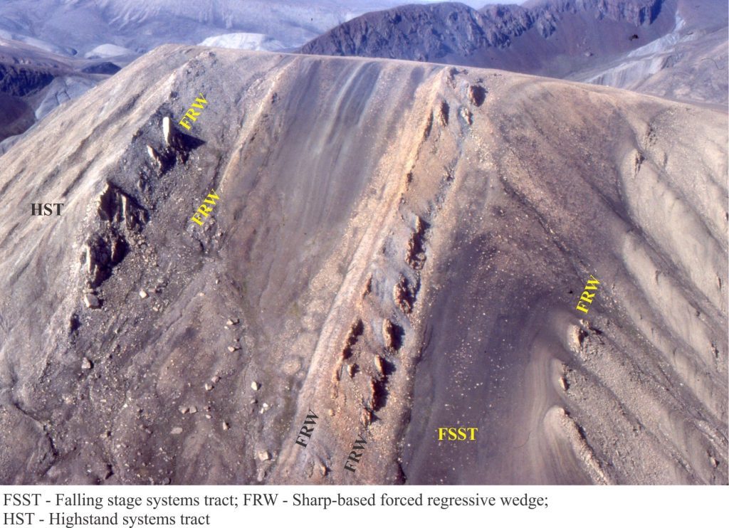
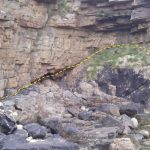
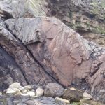
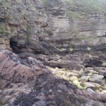
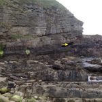
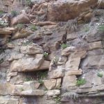
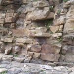
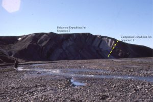
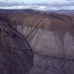
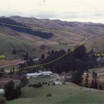
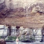
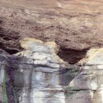
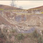
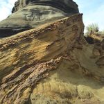
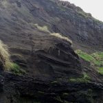
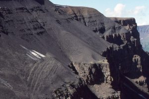
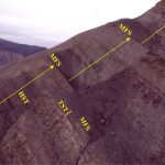
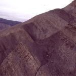
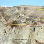
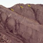
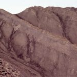
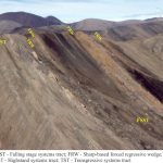
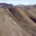
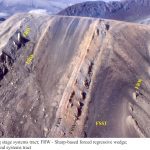
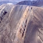
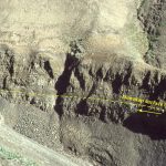
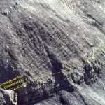
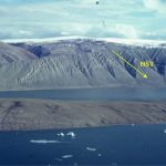
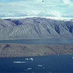
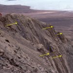
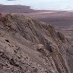
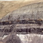
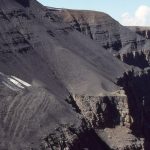
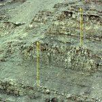
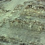
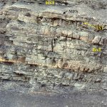
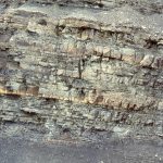
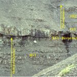
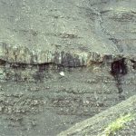
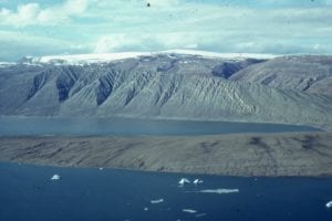
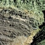
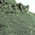
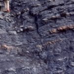
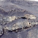
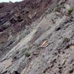
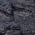
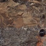
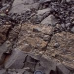
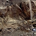
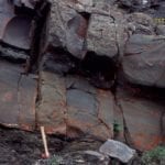
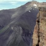
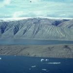
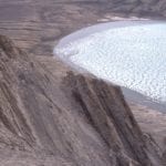
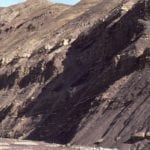
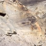
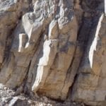
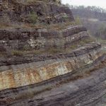
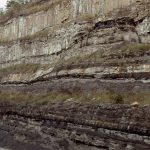
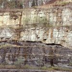
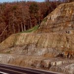
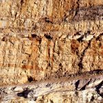
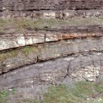
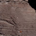
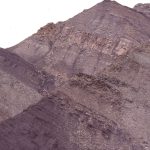
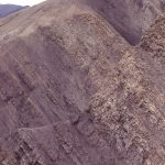
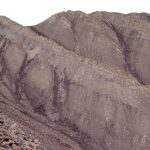
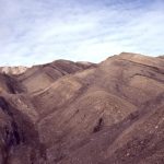
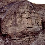
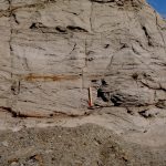
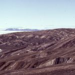
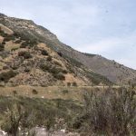
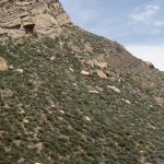
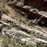
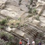
Paleocene Highstand, Falling Stage systems tracts, Axel Heiberg I.

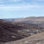
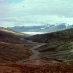
Forced regression across a Mid-Late Paleocene delta, Axel Heiberg Island, Canadian Arctic.


Parasequences are the building blocks of shallow marine systems tracts.

The stratigraphy of ancient, shallow marine deposits is commonly presented in outcrop,  core, and wire-line logs as cyclic repetitions of shallowing-upward facies, an observation that dates back almost two centuries. Each cycle contains facies transitions from some part of the shelf or platform, to shallower conditions (for example shoreface through shoreline). The ubiquity of these 4th – and 5th -order cycles in the rock record, and the recognition that collectively they comprise larger 3rd -order cycles, led early proponents of sequence stratigraphy to introduce the concept of parasequence. For Van Wagoner et al. (1988), parasequences are the building blocks of stratigraphic sequences. They define parasequences as (op cit, p. 39):

A relatively conformable succession of genetically related beds or bedsets bounded by marine flooding surfaces and their correlative surfaces.”

This definition has survived, reasonably intact, the vagaries of geological debate – witness the attempts to find a common sense of purpose in sequence stratigraphic terminology by Catuneanu et al. (2010, 2011); a group of co-authors all at the forefront of sequence stratigraphic analysis.

The definition contains several implied and explicitly stated conditions:

  1. Parasequences are fully marine.
  2. In the original definition, parasequences are bound by marine flooding surfaces and their correlative surfaces; later definitions have removed reference to the correlative Flooding surfaces represent abrupt changes in water depth during transgression; the change in facies across the flooding surface is also abrupt, from shallow to deep. This means that fluvial successions, and at the other end of the water depth scale, basin-floor fans, are excluded. This does not mean that 4th and 5th order cycles do not occur in fluvial and submarine fans, but that their equivalence in time and space is difficult to demonstrate.
  3. A relatively conformable succession – Brief diastemic breaks are common, for example storm scour surfaces across the shoreface, but there are no unconformities or disconformities.
  4. Genetically related beds – This phrase refers to two conditions: that successive facies are associated in time and space. For example, subtidal-intertidal-supratidal deposits are linked by the dynamics of sedimentation (tidal flux, currents, waves), biotas, and for carbonates and evaporites, seawater chemistry. This relationship, together with the requirement for a comfortable succession, also means that Walther’s Law applies – ‘‘. . . only those facies and facies-areas can be superimposed primarily which can be observed beside each other at the present time’’ (Walther 1894).

Parasequences represent relatively short-lived periods of progradation that are superimposed on, or punctuate 3rd order regressive or transgressive trends. As such, the most common stratigraphic facies trends shallow upward.  Depending on the relative rates of sediment supply and sea level change, the stacking of parasequences will result in 3rd order:

  • Progradation (possibly with a component of aggradation), where the normal regressive (seaward) shoreline trajectory of successive parasequences is approximately horizontal,
  • Progradation during forced regression where successive shorelines have a down-stepping trajectory, and
  • Progradation during transgression where the step-like shoreline trajectory of successive parasequences is retrograde, or landward.


Three examples of parasequences

For each example, refer to the schematic depositional trends depicted in the sea level curve below.
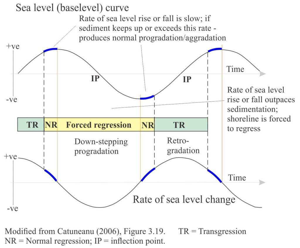
Stages of regression and transgression in relation to relative sea level, in a sequence stratigraphy context

Stages of regression and transgression in relation to relative sea level, in a sequence stratigraphy context

Bowser Basin, British Columbia

Middle Jurassic shelf deposits in Bowser Basin have well developed cyclicity represented by coarsening upward mudstone through sandstone successions, 5m to 20m thick. A typical example is shown below (refer to the diagram):
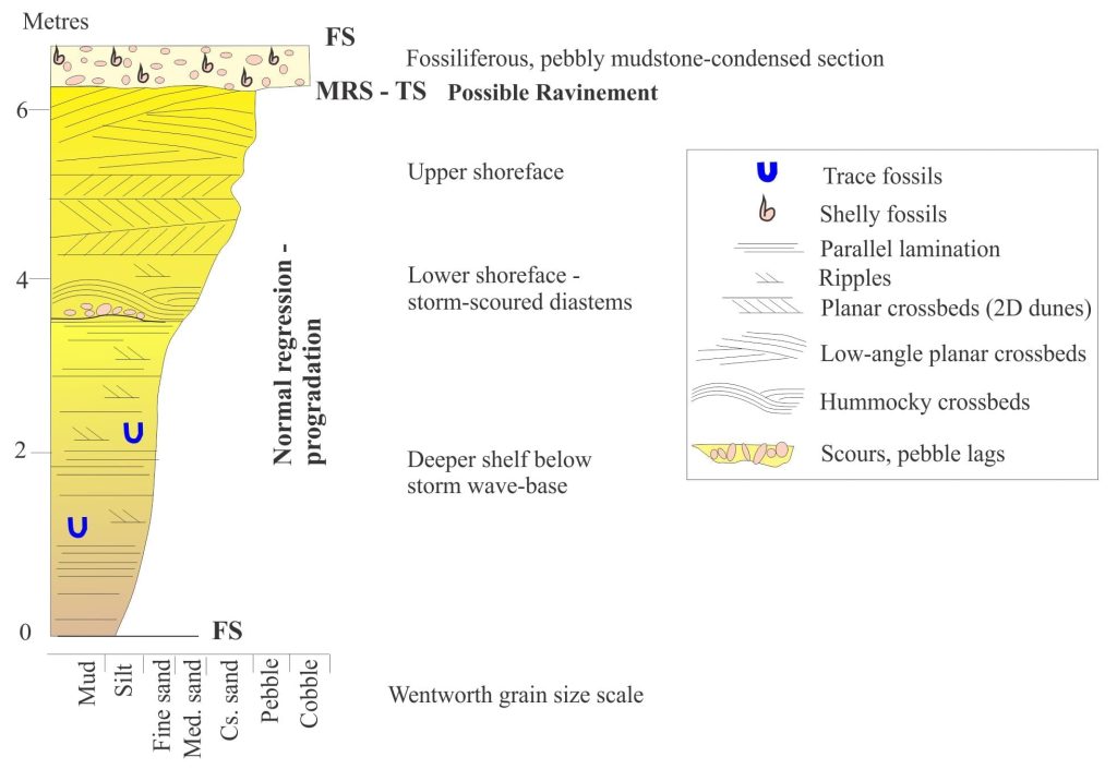
Shelf parasequence representing progradation during normal regression. Bowser Basin

An example of a coarsening-shallowing upward parasequence from the Middle Jurassic of Bowser Basin, (Mt. Tsatia). The outcrop version is shown below.

  • Grey mudstone interbedded with thin siltstone and sandstone at the base, gives way to gradually thicker and more frequent sandstone beds. These facies represent parts of the shelf that are deeper than storm wave-base.
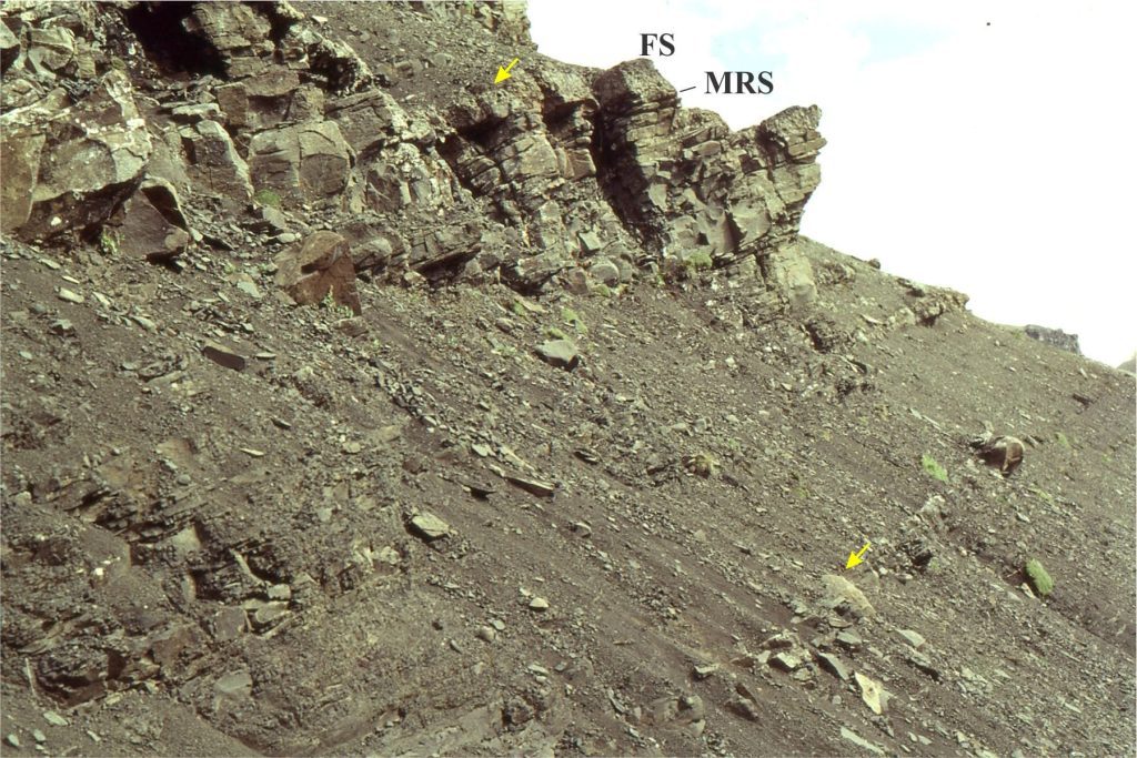
Coarsening-upward shelf parasequence, Bowser Basin. The cycle top and base are indicated by arrows. Hummocky crossbedding and the transgressive, condensed, calcareous mudstone are shown in separate images.

Coarsening-upward shelf parasequence, Bowser Basin. The cycle top and base are indicated by arrows; it is about 7m thick. Hummocky crossbedding and the transgressive, condensed, calcareous mudstone are shown in separate images. MRS = maximum regressive surface (or transgressive surface); FS = marine flooding surface.


  • Hummocky crossbeds are common in the lower part of the resistant sandstone beds; these structures denote a relative position on the shelf corresponding to storm wave- base.
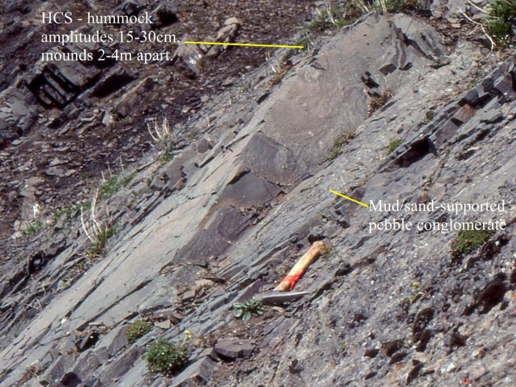
Hummocky crossbedding developed at storm wave base. The hammer lies along a basal pebble layer that was deposited by a bottom-hugging density current during collapse of a storm surge. Tsatia Mt. Bowser Basin.

Hummocky crossbedding developed at storm wave base. The hammer lies just below a basal pebble layer that was deposited by a bottom-hugging density current during collapse of a storm surge. Tsatia Mt. Bowser Basin.

  • Sandstones in the upper 2-3m contain planar crossbeds, and a few pebble-lined scours that probably indicate the passage of storm waves across the upper shoreface.
  • The sandstones are capped by a fossiliferous, pebbly, calcareous mudstone. The base of the mudstone is slightly erosional and is interpreted as a maximum regressive surface (MRS) or transgressive surface (TS), although the erosional contact may indicate ravinement during initial transgression. The top of the pebbly mudstone is a marine flooding surface (FS) and represents maximum transgression (or close it).
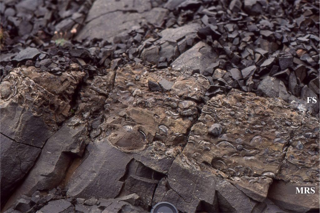
The transgressive part of a typical shelf parasequence; Bivalves and bryozoa abound. The unit is highly calcareous. The underlying sandstones are crossbedded. MRS = maximum regressive surface (or transgressive surface); FS = marine flooding surface. Lens cap bottom centre.

The transgressive part of a typical shelf parasequence; Bivalves and bryozoa abound. The unit is highly calcareous. The underlying sandstones are crossbedded. MRS = maximum regressive surface (or transgressive surface); FS = marine flooding surface. Lens cap bottom centre.

Overall, the parasequence represents progradation at high sedimentation rates during normal regression, followed by transgression.


Sverdrup Basin, Canadian Arctic

Parasequences in the Strand Bay Formation (Middle to Late Paleocene) represent forced regression following a period of (Early Paleocene) highstand progradation-aggradation. The example shows:
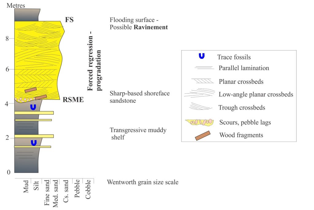
Schematic representation of a forced regressive sandstone wedge, Middle-Late Paleocene, Axel Heiberg Island. RSME = Regressive Surface of Marine Erosion; HST = underlying Highstand deposits.

Schematic representation of a sharp-based, forced regressive sandstone wedge, Middle-Late Paleocene, Axel Heiberg Island. RSME = Regressive Surface of Marine Erosion; FS = Marine flooding surface.

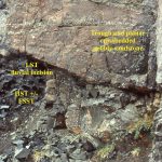
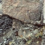
  • A resistant sandstone unit that has an abrupt, erosional base (usually with pebble lags and coalified wood fragments), and an equally abrupt top. The bulk of the sandstone contains abundant planar and trough crossbeds that represent deposition across a high-energy shoreface.
  • The sandstone is sandwiched between mudstones and siltstones that represent transgressive, outer-shelf deposits.
  • The abrupt contact at the top of the sandstone is a flooding surface, but its preservation was complicated by shoreface ravinement during the early stage of transgression.
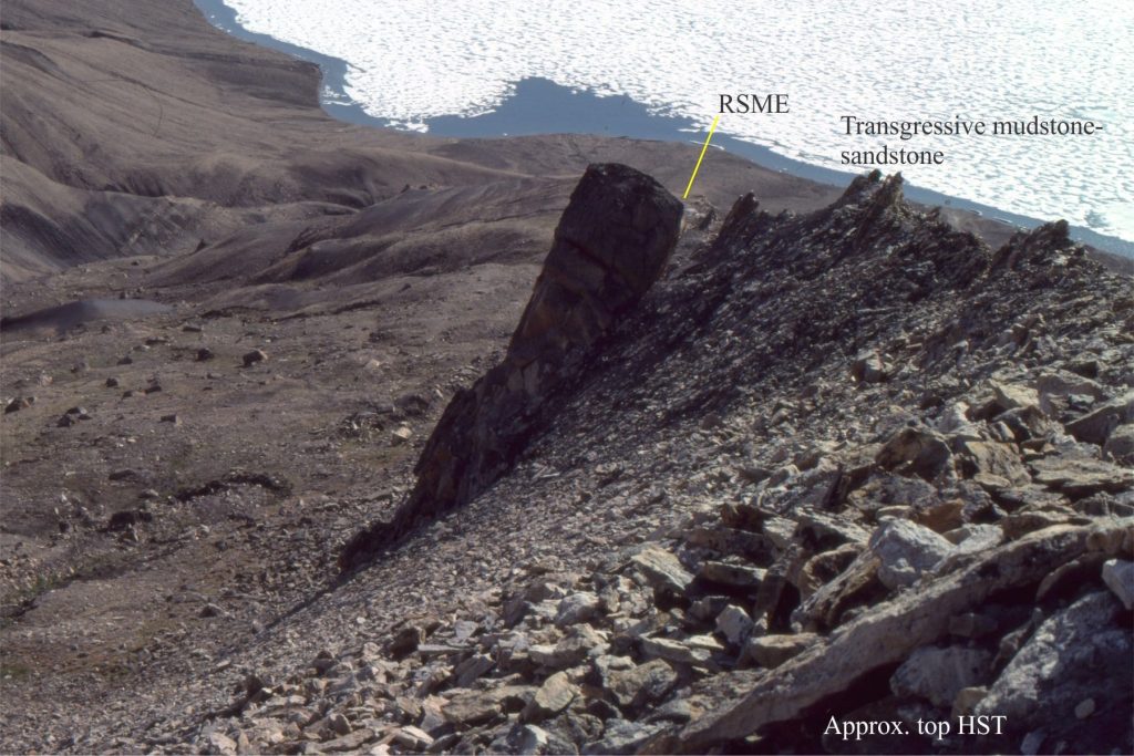
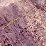
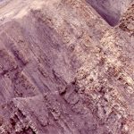
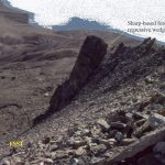
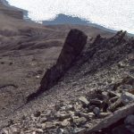
A sharp-based sandstone wedge deposited during forced-regression. This exposure at Expedition Fiord, Axel Heiberg Island. RSME = Regressive surface of marine erosion; FS = marine flooding surface, HST = top of underlying Highstand succession.

A sharp-based sandstone wedge deposited during forced-regression. This exposure at Expedition Fiord, Axel Heiberg Island. RSME = Regressive surface of marine erosion; FS = marine flooding surface, HST = top of underlying Highstand succession.

Belcher Islands, Hudson Bay

The Paleoproterozoic Fairweather Formation (Belcher Islands) contains mixed siliciclastic-carbonate facies organized into shallowing upward cycles, 2-5m thick. In a typical cycle we see:
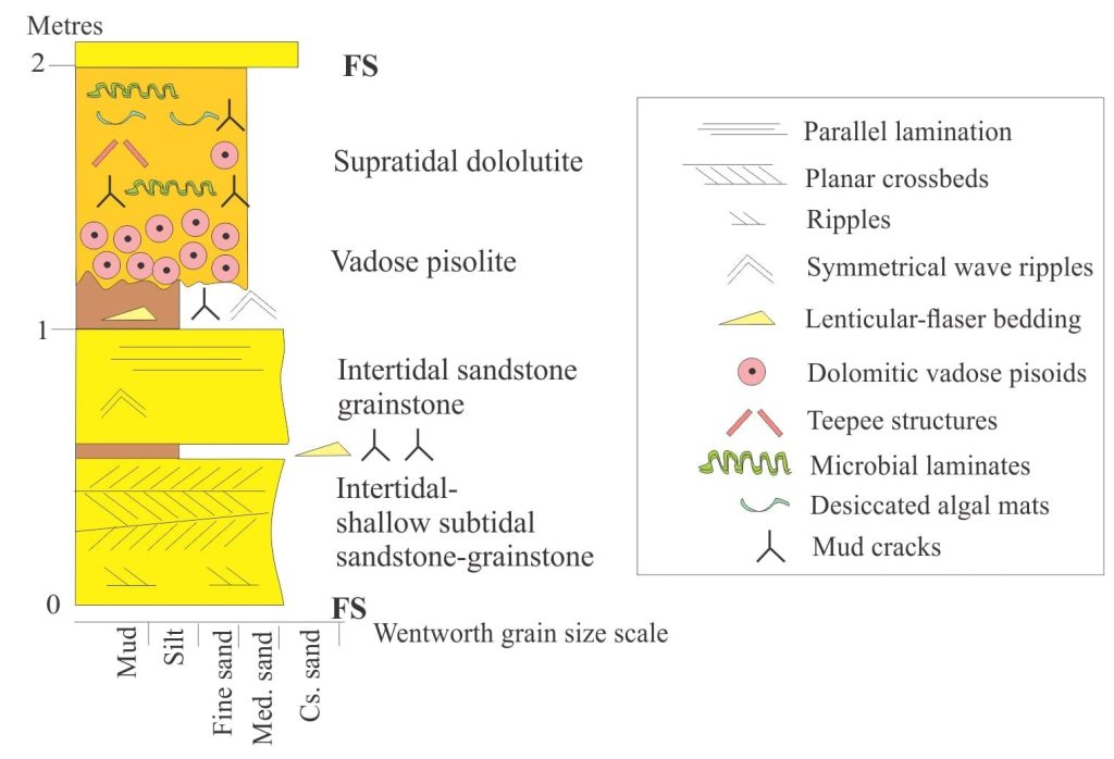
Schematic representation of mixed siliciclastic-carbonate tidal cycles in the Paleoproterozoic Fairweather Formation, Belcher Islands, Hudson Bay.

Schematic representation of mixed siliciclastic-carbonate tidal cycles in the Paleoproterozoic Fairweather Formation, Belcher Islands, Hudson Bay.

  • Basal siliciclastic sandstone and dolomitic grainstone, interbedded with dolomitic mudstone; planar and herringbone crossbeds, lenticular ripple bedding, and reactivation surfaces indicate shallow subtidal to intertidal conditions.
  • Sandstones higher in the succession have the same composition, but the sedimentary structures indicate progressively shallower conditions as desiccation cracks become more frequent.
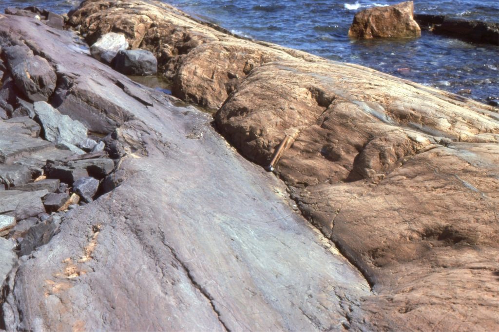
Mixed, crossbedded siliciclastic-grainstone facies of intertidal persuasion, overlain by pisolitic dolostone. The contact appears abrupt but in fact is diffuse over several centimeters, and represents a ‘weathering-diagenetic front’. Hammer at center.

Mixed, crossbedded siliciclastic-grainstone facies of intertidal persuasion, overlain by pisolitic dolostone. The contact appears abrupt but in fact is diffuse over several centimeters, and represents a ‘weathering-diagenetic front’. Hammer at center.

  • The overlying carbonates (all dolomitized) consist of highly distinctive, vadose pisolitic dolostone (e.g. caliche). The evidence for this is:
  • Close-fitted packing of pisoids,
  • Some elongation of individual pisoids ( gravity induced),
  • Discordances between pisoids caused by multiple episodes of dissolution and precipitation, and,
  • The irregular, diffuse contact with underlying sandstones that developed during soil-caliche weathering and fluctuating watertables.
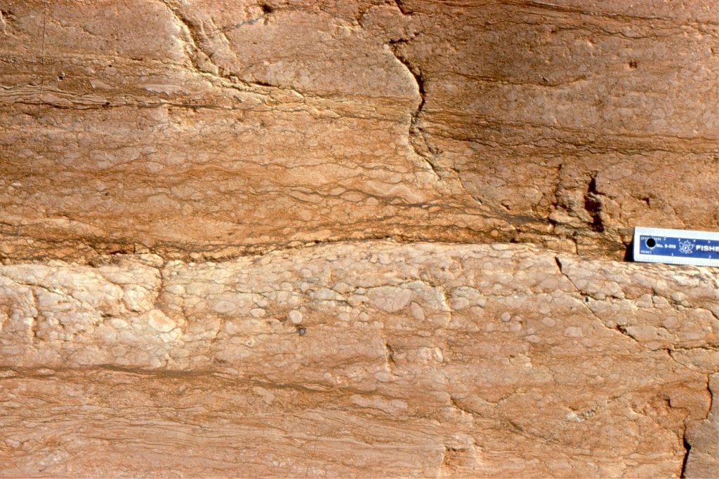
Successive vadose pisolite beds formed by multiple periods of in-situ precipitation and dissolution attendant on fluctuating watertables and the occasional marine flooding of supratidal flats by storm and spring tides.

Successive vadose pisolite beds formed by multiple periods of in-situ precipitation and dissolution attendant on fluctuating watertables and the occasional marine flooding of supratidal flats by storm and spring tides.

This post is part of the How To…series  on Stratigraphy and Sequence Stratigraphy


Other posts in this series on Stratigraphy and Sequence Stratigraphy

Stratigraphic surfaces in outcrop – baselevel fall

Stratigraphic surfaces in outcrop – baselevel rise

A timeline of stratigraphic principles; 15th to 18th C

A timeline of stratigraphic principles; 19th C to 1950

A timeline of stratigraphic principles; 1950-1977

All the stratigraphies

Baselevel, Base-level, and Base level

Sediment accommodation and supply

Facies and facies models

How to read a sea level curve

Autogenic or allogenic dynamics in stratigraphy?

Stratigraphic cycles: What are they?

Sequence stratigraphic surfaces

Shorelines and shoreline trajectories

Stratigraphic trends and stacking patterns

Clinoforms and clinothems

Stratigraphic lapout

Stratigraphic condensation – condensed sections

Depositional systems and systems tracts

Which sequence stratigraphic model is that?


Facebooktwitterlinkedininstagram
Facebooktwitterlinkedin

Atlas of Unconformities

Facebooktwitterlinkedininstagram

Unconformities – missing geological time

The Atlas, as are all blogs, is a publication. If you use the images, please acknowledge their source (it is the polite, and professional thing to do).

Stratigraphy is a cornerstone (sic) of the earth sciences. With it, we unravel earth’s history, the sequence of events and processes that have given us the world we live in. It is the story, written in rocks and fluids, of the physical, chemical, and biological world.  Perhaps we should now include the social and psychological spheres of our existence, as part of the latest geological period, the Anthropocene – layer upon layer of human thought, actions, consequences.

Unconformities are a fundamental part of Stratigraphy.  They are that part of the rock record in which time and rock are missing – periods of time in which rocks either did not form, or if they did form were subsequently removed. In both cases, the “missing” information tells us that something happened; the ‘something’ may have been local, confined to our own backyard, or of global extent such as extinction events, the construction of mountains or destruction of oceans. So, geologists who find unconformities don’t throw up their hands in despair; they rub their hands in glee at the promise of so many possible explanations.

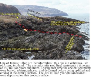
What better example to begin with than one of James Hutton’s classic localities on Arran, west Scotland (image above).  This is the unconformity at Lochranza where Carboniferous sandstone overlies Late Precambrian Dalradian schist.  The unconformity here represents about 240 million years of time, seemingly missing, and yet it also represents a period of mountain building, where deeply buried metamorphic rocks were uplifted many kilometres, exposed and worn down by the vagaries of ancient weather systems, and buried by sand shed from the rising mountains.  This tale of the evolving earth is encapsulated in the seemingly innocuous contact between the two different groups of rock.

The images:  This link will take you to an explanation of the Atlas series, the ownership, use and acknowledgment of images.  There, you will also find links to the other Atlas categories.

Click on the image for an expanded view, then ‘back page’ arrow to return to the Atlas.

An uncluttered view of Hutton’s unconformity at Lochranza (same location as the image above)


Basal conglomerate of the Carboniferous succession that onlaps Dalradian schist at Lochranza. Hammer is at the unconformity.


The unconformity between Archean metavolcanic and plutonic rocks at Cobalt, Ontario, and the Proterozoic Gowganda Formation, is marked by a regolith of blocky granodiorite and granite, that is overlain by diamictites deposited during Early Proterozoic glaciation.


Portskerra: Old Red Sandstone (ORS) on Moine schists, north Scotland

The ORS is a mixed bag of sedimentary rocks, mostly Devonian, but extending into the late Silurian and early Carboniferous. Their importance lies in the direct association with Caledonide tectonics, where sediment was shed from the rising mountains into adjacent foreland basins. The ORS is sometimes compared with the younger Molasse foredeep successions of Europe. The unconformity at Portskerra is an erosional surface, where the ORS fills paleotopographic lows and drapes the intervening highs.

Numbered sites refer to the thumbnail images below.


Sites 1 (left) to 4 as shown in the general view above. Moine rocks were exposed during Caledonian uplift and subsequent erosion that removed many kilometres of overlying rock. Much of this sediment was deposited as ORS.


A coarse ORS breccia, consisting almost entirely of fragmented Moine schist, overlies the unconformity.


The ORS beds contain shallow trough crossbeds and ripples, and occasional pebble-cobble lags that mark the base of channels.


Rippled sandstone in beds a metre above the unconformity.


Typical, strongly foliated Moine schist.


The NW coast, towards Portskerra and the distant Orkney archipelago.


Loch Assynt, northwest Scotland

Lewisian gneisses and migmatites (Archean) are overlain unconformably by Torridonian sandstone (Proterozoic).  The roadcut adjacent Loch Assynt is west of the Moine Thrust complex; both rock assemblages are part of the ancient Laurentian continental block.  The three thumbnail images below are from the same general location.  At this locality there is subdued paleotopographic relief on the unconformity.


Expedition Formation, Canadian Arctic

The Campanian to Middle Eocene Eureka Sound Group on Ellesmere and Axel Heiberg Islands represents the last gasp of sedimentation in a thermally subsiding Sverdrup Basin. In the central part of the basin, The Expedition Formation contains two stratigraphic sequences separated by a disconformity where most of the Maastrichtian is missing. Along the basin margins Sequence 1 is commonly missing such that Sequence 2 onlaps Paleozoic bedrock.


The Campanian-Lower Paleocene unconformity at Hot Weather Creek, Ellesmere Island.  Throughout the basin, the base of the Paleocene is characterised by thick quartz-rich sandstones deposited in estuaries, sandspits and bars.


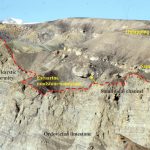
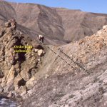
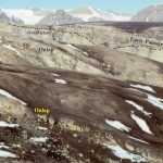
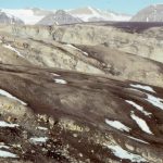
Lower Paleocene Sequence 2 along the basin margins commonly onlaps Paleozoic rocks – here Ordovician carbonates. The earliest sediments infilled a karst paleotopography. Mt. Moore, Ellesmere Island.


This Lower Paleocene – Ordovician unconformity has a well developed regolith in the carbonates. Mt Moore area.


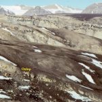
Left: Lower Paleocene Sequence 2 on Devonian sandstone-limestone. The trace of the unconformity coincides with the stream (lower right).  Right: Lower Paleocene Sequence 2 on Permian limestones-grainstones near Canon Fiord. The trace of the unconformity coincides with the stream (center).

Buchanan Lake Formation, Canadian Arctic

This is the youngest formation in the Eureka Sound Group. Its deposits record inversion and dismembering of Sverdrup Basin by thrust-dominated tectonics during the Middle Eocene.  Deposition took place in several foredeeps, that also were involved in the deformation.


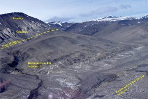
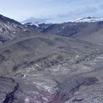
Syntectonic, Middle Eocene Buchanan Lake strata disconformably overly Lower-Mid Eocene delta deposits (Iceberg Bay Fm, Sequence 4). Sediment was derived from uplifted Late Paleozoic and Triassic rocks. They were subsequently overthrust by Late Paleozoic anhydrite and Permian mudstone-sandstone. North of Whitsunday Bay, Axel Heiberg Island.


Syntectonic Buchanan Lake conglomerate (brown hues) overlies unconformably Triassic sandstone.  Stang Bay, Axel Heiberg Island.


New Zealand Paleogene-Neogene basins

The Plio-Pleistocene Wanganui Basin occupies a position between the Hikurangia subduction zone and the Late Cretaceous – Miocene rift-passive margin succession comprising Taranaki Basin. Along its eastern margin, Wanganui Basin strata onlap much older greywacke-greenschist basement, shown above at Otupae Station (about 30km SE of Waiouru, along the west flank of the Ruahine Ranges.


Marine terraces eroded into Middle Pliocene Tangahoe Mudstone are exposed on the south Taranaki coast. Here there are excellent examples of shallow, shore platform channels and potholes, filled by pebbly sand of the Rapanui Formation.  Pollen assemblages indicate that shallow marine-beach and dune deposition took place during interglacial conditions in the late Pleistocene.


The Late Eocene-Oligocene Te Kuiti Group (New Zealand) contains cool-water carbonates and associated mudrocks, that accumulated on a broad platform during a period of relative crustal stability. The deposits gradually onlapped  eroded greywacke basement (Torlesse-Waipapa terranes), as shown in this quarry, west of Te Kuiti town.  The limestone unit is the Otorohanga Limestone. This stratigraphic pinchout is unconformably overlain by Early Miocene, deeper water Mahoenui mudstone.


Waitemata Basin

The Lower Miocene Waitemata Basin extends from greater Auckland into Northland, New Zealand. The fill is dominated by turbidites deposited at bathyal water depths. The basin mainly overlies Mesozoic greywacke.  In what is a remarkable contrast in water depth, the basal few metres consists of conglomerate, fossiliferous sandstone and limestone that were deposited in shallow shelf and pocket beach settings.  The pre-Miocene surface has considerable paleotopographic relief. Along the Early Miocene coastline this was manifested as greywacke islands, sea cliffs and sea stacks.

The cartoon below shows a rough reconstruction of the Early Miocene environment (drawn more than 30 years ago). Panels a and b show shoreline, beach, subtidal facies, complete with cliff rock-falls and landslides. Panel c depicts the early stages of draping and blanketing by bathyal turbidites and debris flows.

Brian Ricketts, Peter Ballance, Bruce Hayward, and Wolfgang Meyer, 1989. Basal Waitemata Group lithofacies: rapid subsidence in an Early Miocene interarc basin, New Zealand. Sedimentology v. 36(4): 559 – 580


The unconformity in the shore platform below Leigh Institute of Marine Sciences. Intensely deformed greywacke below the red line, is overlain by flat-lying, shallow water calcareous and fossiliferous sandstone. Fossils include abundant barnacles, bivalves (including large oysters), gastropods, solitary corals, bryozoa, calcareous algae (Lithothamnion rhodoliths), foraminifera, and trace fossils.


The unconformity at Matheson’s Bay. The steep paleosurface (just left of hammer) is overlain by angular boulders and cobbles of greywacke. Some boulders contain evidence of pre-Miocende weathering.


Paleo-seastacks of greywacke that, following rapid subsidence to bathyal depths, were draped by turbidites. Left: North end of Matheson’s Bay. This sea-stack has remnant pholad borings (bivalves that bore into hard rock). Right: Omana Bay, south Auckland. Here, drape folds over greywacke sea-stacks have been exhumed in the modern shore platform.


Panorama of lower Waitemata Basin strata, looking south from Takatu Point. The unconformity on the small island is overlain by boulder conglomerate and well bedded calcareous sandstone.


Kariotahi, Pleistocene dune-barrier bar complex

There are several very large barrier island-bar systems along the North Island west coast. during the Pleistocene, they effectively straightened the coastline, blockading harbours and estuaries with shallow marine and subaerial dune sands, with entrance and egress of water through narrow tidal inlets.

The coastal exposure at Kariotahi beach, west of Auckland city, contains a nice example of an ancient valley cut into older dune sands, that was subsequently filled with a new generation of dune sands and stream deposits, only to be exhumed much later in the Pleistocene. The unconformity between the original valley margin and the infilling dunes is shown below. The unconformity also shows signs of old soils and weathering.

The valley margins (outlined) are overlain by younger dune sands. The present valley has cut into both of generations of Pleistocene dunes. Kariotahi, west Auckland.


Closer views of the Pleistocene valley unconformity. The older (brown) deposits occur below the steeply dipping surface; the younger dunes above.  The irregular, rust-coloured resistant layers are iron-pan; iron oxides that have precipitated during groundwater seepage. Kariotahi, west Auckland.


Typical dune cross bedding in the younger valley fill.  The muddy, concave layer near the bottom of the image is thought to have formed in an interdune pond. Kariotahi, west Auckland.

Facebooktwitterlinkedininstagram
Facebooktwitterlinkedin

Atlas of Sequence stratigraphy

Facebooktwitterlinkedininstagram

Sequence stratigraphy

The Atlas, as are all blogs, is a publication. If you use the images, please acknowledge their source as indicated below.

Brian Ricketts –  www.geological-digressions.com

This category of Atlas images, is not intended as a comprehensive outline or set of definitions of sequence stratigraphy, but rather field examples of strata, stratigraphic trends (an essential component of systems tracts), and stratigraphic surfaces.  There are many excellent journal papers, text books, and conference short courses devoted to sequence stratigraphy, so consult them if needs be.

Short articles on important sequence stratigraphic themes are listed here

Some key sequence stratigraphic components illustrated here include (abbreviations on the images):

HST        Highstand Systems Tract (progradational-aggradational) overlies the MFS and underlies the erosion surface formed during the FSST)

FSST       Falling Stage Systems Tract (forced regression and progradation during relative sea-level fall)

LST         Lowstand systems tract (now restricted to end of relative sea-level fall and beginning of sea-level rise)

TST        Transgressive Systems Tract (above the transgressive surface; Retrogradational onlapping during rising relative sea-level and low sedimentation rates. Condensed stratigraphy).

MSF        Maximum Flood Surface (at the transition to sedimentation rates greater than creation of accommodation space. Also the base of the overlying HST).

Each example has a pair of images, one annotated, the other without annotation.

This link will take you to an explanation of the Atlas series, the ownership, use and acknowledgment of images.  There, you will also find links to the other categories.

Click on the image for an expanded view, then ‘back page’ arrow to return to the Atlas.


The images:

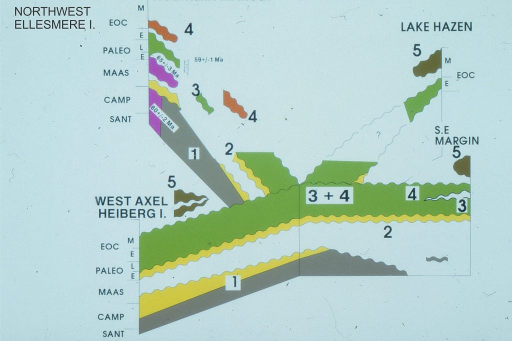
Sequence stratigraphic framework for the Late Cretaceous - Paleogene Eureka Sound Group, Canadian Arctic. The numbered sequences are referred to for each outcrop image.

Sequence stratigraphic framework for the Late Cretaceous – Paleogene Eureka Sound Group, Canadian Arctic. The numbered sequences are referred to for each outcrop image.

Late Cretaceous to Middle Eocene 3rd-order stratigraphic sequences in the Eureka Sound Group, Canadian Arctic Islands (mostly Ellesmere and Axel Heiberg islands). Sequences 1 and 2, mainly wave-dominated deltas, and along the eastern basin margin, estuarine – shelf. Sequences 3 and 4: river-dominated deltas, sandy inner shelf, muddy outer shelf; Sequence 5 basin inversion and fragmentation into small, thrust-related, syntectonic basins. Sequence 5 represents the acme of the Eurekan Orogeny.


Sequence 1, wave-dominated delta parasequences, Strand Fiord, Axel Heiberg Island. There is about 150m of stratigraphy in this view.


Detail of Sequence 1 coarsening upward, wave-dominated delta parasequence and MFS. Axel Heiberg Island.


Sequence 1, Major subaerial unconformity between Ordovician limestone and onlapping Lower Paleocene estuarine, sandy shelf-bar-sand spit. Combined  karstification and erosion of the limestones produced significant paleotopography. Mount Moore, eastern Ellesmere Island.


Sequence 1 estuarine, sand spit, and shallow shelf bars, onlapping karsted Ordovian limestones, Mount Moore, eastern Ellesmere Island. In the foreground, crossbedded sandstone is in direct contact with paleotopography.


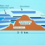
Reconstructed Early Paleocene paleotopography and Sequence 1 facies.  For details see: Ricketts, B.D.  1991: Lower Paleocene drowned valley and barred estuaries, Canadian Arctic Islands: aspects of their geomorphological and sedimentological evolution; in Clastic Tidal Sedimentology, Rahmani, R.A., Smith, D.G., Reinson, G.E., and Zaitlin, B.A. (ed.); Canadian Society of Petroleum Geologists, Memoir 16, p. 91-106.


Sequence 3. River-dominated prodelta – delta front parasequences.  About 300m of stratigraphy here. Abrupt, mappable parasequence tops coincide with the MFS. Axel Heiberg Island.


Paleocene Highstand, Falling Stage and Lowstand systems tracts, Axel Heiberg I.                    

Sequence 3: FSST with forced regressive wedge – sharp-based shoreline sandstones formed by wave erosion as sea-level falls.  The subsequent TST and HST extends to the right of the image. Axel Heiberg Island.


Paleocene Highstand, Falling Stage systems tracts, Axel Heiberg I.                     


Sequence 3, as in the above image pair, focusing on the FSST and forced regressive sandstone wedges. Axel Heiberg Island.


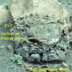
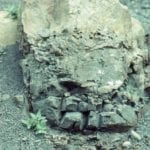
Paleocene Falling Stage systems tract, Axel Heiberg I.                       


The basal part of the FSST in Sequence 3 (as above), featuring a sharp-based forced regressive shoreline wedge.


Sequence 3. Downlap surface with basinward progradation of prodelta mudstone fine-grained sandstone.


Sequence 3: Strongly aggradational HST, shelf parasequences, South Bay, Ellesmere Island.


Sequence 3: Shelf parasequences, mostly HST, thin TST, and MFS that corresponds with the resistant top of each cycle. For an overview see the next images above. South Bay


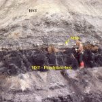
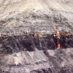
Sequence 3: A great example of a higher-order subaerial sequence boundary (SB) (top of coal seam), thin TST muddy sandstone, MFS, and HST. The orange blobs are mineralized tree roots. It’s also a much younger me. Strathcona Fiord, Ellesmere Island.


Sequence 3, a different perspective, as immediately above.


Jurassic mid-outer shelf parasequence, Bowser Basin. The MFS immediately overlies the resistant ledge, above which is a thick coarsening  upward HST. Tsatia Mountain, northern British Columbia.


Mid-shelf parasequences with well defined MFS, transgressive surfaces, and TSTs. Tsatia Mountain, Bowser Basin.


Closer view of a mid-inner shelf parasequence, Tsatia Mountain, Bowser Basin. The coarsening upward HST is capped by a pebbly, fossiliferous TST and MSF. The transgressive surface is one of marine erosion during changing wave-base.


Detail of the top HST, transgressive surface (of erosion), the fossiliferous, pebbly TST (ammonites and bivalves), a calcareous mudstone that is part of the condensed TST stratigraphy when terrigenous sediment input was at its lowest, the MFS, and succeeding HST. Tsatia Mountain, Bowser Basin.


The Tsatia Mountain section contains some shelf parasequences that are truncated by lowstand, channelized fluvial sandstone – the LST. The TST is a thin, pebbly mudstone similar to that in the image immediately above. Bowser Basin.


The abrupt contact between the erosional base of the TST fluvial channel, and the preceding shelf parasequence. Tsatia Mountain, Bowser Basin.

Facebooktwitterlinkedininstagram
Facebooktwitterlinkedin

Atlas of shelf deposits

Facebooktwitterlinkedininstagram


The Atlas, as are all blogs, is a publication. If you use the images, please acknowledge their source (it is the polite, and professional thing to do).

The term ‘shelf’ is used here loosely – it covers a range of submarine settings, mostly shallower than about 300m, from the upper slope to shoreline, the shoreface, fairweather and storm wave-base.  There is some overlap with the ‘Paralic’ category, but the context of the shallowest examples (like beach, shallow subtidal) is in their relationship to their deeper counterparts.  The separation of the ‘Shelf’ and ‘Paralic’ categories is a bit artificial, and one of convenience.

This link will take you to an explanation of the Atlas series, the ownership, use and acknowledgment of images.

Click on the image for an expanded view, then ‘back page’ arrow to return to the Atlas.

The images:

Coarsening- and bed-thickening upwards shelf (about mid shelf) to shoreface cycle, Jurassic Bowser Basin, northern British Columbia.  The coarser facies contains hummocky crossbeds (HCS) at storm wave-base, and subaqueous dune-ripples above fairweather wave-base.  There are numerous trace fossils indicative of high energy,

such as Ophiomorpha, Rosellia, and Thalassinoides.


Coarsening=upward cycle at about outer- to mid-shelf – some HCS at the top of the sandstone. This is a more seaward cycle to that shown above.   Jurassic Bowser Basin, northern British Columbia.


This shale to thinly bedded sandstone cycle occurs close to the shelf edge, at the transition to slope deposits.  There are a few bottom current ripples, but no HCS or larger dune structures. Jurassic Bowser Basin, northern British Columbia.


The chert-pebble conglomerate accumulated in a shelfbreak gully.  The uninterrupted transition from shale-dominated slope to shelf is located immediately to the right of the gully margin.  Jurassic Bowser Basin, northern British Columbia. Details of the gullies have been published here: Shelfbreak gullies; Products of sea-level lowstand and sediment failure: Examples from Bowser Basin, northern British Columbia. 1999,  Journal of Sedimentary Research 69(6):1232-1240


Hummock cross stratification (HCS) in a typical lower shoreface shelf cycle (storm wave-base),  Jurassic Bowser Basin, northern British Columbia. Hammer rests on a thin pebbly debris flow that immediately underlies the HCS unit.  It is generally thought that HCS forms during storms, from the combination of a unidirectional flowing bottom current, possibly as a sediment gravity flow, that is simultaneously moulded by the oscillatory motion of large storm waves.

Possible swaley bedding, formed in much the same way as HCS, but where the hummocks have been eroded leaving the concave-upward swales. Jurassic Bowser Basin, northern British Columbia.


Storm rip-ups of shelf muds in a mid-shelf cycle.  Jurassic Bowser Basin, northern British Columbia.


Many shelf cycles in the Bowser Basin succession, terminate abruptly and are overlain by a bed of fossiliferous (ammonites, trigoniids and other molluscs), pebbly, mudstone.  This marks the transition form a highstand (HST) to succeeding transgression; the mudstone is the TRansgressive Systems Tract (TST).


Transition from a sandy HST, to fossiliferous mudstone (small ammonite near the lens cap) of the TST. The top of the TST corresponds to a maximum flooding surface (MFS) – the stratigraphic record of maximum transgression.  Jurassic Bowser Basin, northern British Columbia.


The upper portion of this coarsening upward shelf cycle, the highstand systems tract, contains low-angle planar lamination and some hummocky cross-stratification (HCS). The base of the transgressive unit (TST) is an erosional surface. Jurassic Bowser Basin, northern British Columbia.


Two views of a lenticular, trough crossbedded pebbly sandstone that has cut into the top of a shelf cycle. This has been interpreted as a lowstand fluvial channel, that traversed and eroded the shelf as it was exposed during falling sea level.  This was one mechanism for transporting gravel and sand to the slope and deeper basin, via shelfbreak gullies (like the one pictured above).  Jurassic Bowser Basin, northern British Columbia.

The same fluvial, lowstand channel shown in the images above. The channel is about 2m thick.  Jurassic Bowser Basin, northern British Columbia.


Panorama of a slope-shelfbreak gully-shelf-to fluvial transition, beautifully exposed at Mt Tsatia, Jurassic Bowser Basin, northern British Columbia. Conglomerate on the immediate right are equivalent to the rusty beds near the opposite summit. The shelfbreak is located at the top of the wedge-shaped gully (corresponds to the top of the waterfall) – below the gully are slope deposits. The thickness of strata in this view is more than a kilometre.

A really nice (folded) succession of coarsening upward shelf cycles, Eocene Eureka Sound Group, South Bay, Ellesmere Island. The Eocene shelf was laterally equivalent to river-dominated deltas (Iceberg Bay Fm.) to the north and east.


Coarsening upward mid-shelf – shoreface cycles at South Bay, Ellesmere Island (same location as image above). Small subaqueous dunes, ripples and HCS are common.


Coarsening upward muddy shelf cycles, mostly below storm wave-base, but the occasional cycle extending into lower shoreface (some HCS).  Eocene, Eureka Sound Group, Ellesmere Island

Downlap of muddy outer shelf siltstone and mudstone, Eocene Strand Bay Fm, Ellesmere Island


Sandy, Paleocene shelf dunes forming part of large sandwave complexes. Most of the crossbeds are the planar, or 2D type. The right image shows detail of crossbed foresets, with some reactivation surfaces (probably tidally induced); crossbed is about 40cm thick.  There is some indication here of tidal (flood-ebb) couplets.  Expedition Fm, Eureka Sound Group, Ellesmere Island.

Sandwave complex on a Paleocene sandy shelf, made up of multiple dunes. Eureka Sound Group, Ellesmere Island.


The abrupt, corrugated surface here is a Late Pleistocene wave-cut platform, eroded across Pliocene mudstones (Tangahoe Fm). The wave-cut platform and overlying estuarine-dune sands are part of the Rapanui Formation, near Hawera, New Zealand.  The eroded corrugations and channels contain wood, shells and pebbles.


Late Miocene – Early Pliocene coarsening upward shelf cycles, from outer-mid shelf siltstone-sandstone, to shoreface, tidally induced sandy coquina sandwaves (left image).  The 3 images show part of the highstand systems tract. The carbonate facies are part of the classic, cool-temperate water limestones of Wanganui Basin, New Zealand.  Matemateaonga Fm, Blackhill.

Thick HST calcareous sandstone – limestone, Late Miocene – Early Pliocene Matemateaonga Fm, Blackhill.


Large planar crossbeds in shelf sandwaves (HST), overlain by a pebbly shellbed deposited during the next transgressions (TST).  Late Miocene – Early Pliocene Matemateaonga Fm, Blackhill.


Typical transgressive systems tract (TST) shellbed, Late Miocene – Early Pliocene Matemateaonga Fm, Blackhill.


Detail of shelf dune foresets with backflow ripples climbing up foreset dip. Late Miocene – Early Pliocene Matemateaonga Fm, Blackhill.


Subtidal sandstone with lenticular and wavy bedding deposited during ebb-flood tides. Late Miocene – Early Pliocene Matemateaonga Fm, Blackhill.


Large planar crossbedded calcareous sandstone, formed either as shelf sandwaves or platform of a tidal inlet flood delta. Late Miocene – Early Pliocene Matemateaonga Fm, Blackhill.

Facebooktwitterlinkedininstagram
Facebooktwitterlinkedin

Atlas of delta deposits

Facebooktwitterlinkedininstagram

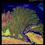
A beautiful Landsat image of Lena River Delta, Siberian Russia. The entire delta complex
is about 200 km wide. At present, the most active part is the right-center lobe.
Image credit: https://remotesensing.usgs.gov/gallery//gallery-nojs.php?id=133&cat=7

The Atlas, as are all blogs, is a publication. If you use the images, please acknowledge their source (it is the polite, and professional thing to do).

Deltas come (and go) in all shapes and sizes.  They form where a trunk river discharges into a largish body of water – mostly shallow seas, but modern and ancient deltas also form in large lakes. Early delta facies models (1960s-70s in particular) were based primarily on the Mississippi birds-foot delta.  As time, and alternative models were developed, it became apparent that the classic river-dominated birds-foot geometry was part of a much larger spectrum of deltas, including those that are tide-dominated and wave-dominated.  The resulting facies tend to be quite different in each of the categories, particularly at the seaward margin of delta accumulations. For example, wave-dominated deltas tend to be higher energy environments at the point where river-derived sediment is dispersed at the seaward margin.

The term ‘delta’ is also a kind of catchall – there are many different kinds of sedimentary facies in deltas, ranging from strictly fluvial to strictly marine. So, for example where fluvial deposits are clearly associated with a delta, they are included in the latter category.

The examples here include the classic Carboniferous, river-dominated deltas from Kentucky; and Late Cretaceous – Paleogene wave and river-dominated types from the Canadian Arctic . I have a few examples from the lacustrine deltas in Ridge Basin, although the field trip to that wrench basin focused on sediment gravity flow deposits (a great AAPG 10-day trip to several ‘turbidite’ basins in California, led by Tor Nilsen, 1988).

This link will take you to an explanation of the Atlas series, the ownership, use and acknowledgment of images.  There are a couple of NASA images that are in the public domain. If you copy these please credit NASA accordingly.

Click on the image for an expanded view, then the ‘back  page’ arrow to return to the Atlas

The images:

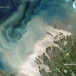
Sediment plumes discharged from Mackenzie Delta, Yukon, into Beaufort Sea, are a maximum during spring-early summer thaw .  The locus of mouth-bar deposition is probably in the whitish region immediately outboard of the lower delta plain. Taken July 19, 2017 by the Operational Land Imager on Landsat 8.

Image credit: NASA Earth Observatory, image by Jesse Allen. Landsat data from the U.S. Geological Survey.  https://earthobservatory.nasa.gov/IOTD/view.php?id=90703

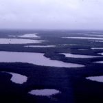
Aerial view of Mackenzie delta plain, in less clement weather.  Not far from the northern Yukon town of Inuuvik.


A spectroradiometer image of Mississippi Delta, January 17, 2016 shows sediment plume distribution at the iconic birds-foot, and at other drainage points along the coast.

Image credit: NASA, MODIS sensor on Terra satellite, https://earthdata.nasa.gov/new-orleans-and-the-mississippi-river-delta.


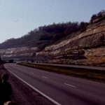
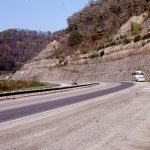
A classic Kentucky Carboniferous highway exposure of channel sandstone cutting into floodplain siltstone-mudstone and thin overbank sandstone. This is overlain by point-bar accretionary foresets (building away from viewer).  Mostly upper delta plain.


These two images create a kind of panorama of Carboniferous of point bar – channel sandstones overlain by interdistributary bay mudstone-siltstone. The point bar overlies and is partly equivalent to thin floodplain coal (left image, base of outcrop).

Lepidodendron log in fine-grained floodplain deposits, Carboniferous, Kentucky. A much younger John Horne adding know how and levity to the field trip stop.


A compaction fault has juxtaposed Carboniferous delta plain channel sandstone against floodplain silts and muds.  Near Hazard, Kentucky.


Delta plain channel migration and down-cutting has left this coal ‘island’ (top right) (Number 7 seam).  The channel overlies interdistributary bay muds.   Daniel Boon Parkway, near Hazard, Kentucky.


Channel down-cutting of the Carboniferous Number 8 coal, subsequently overridden by accretionary point bar foresets.  Hazard, Kentucky.


Proximity to a basement fault has focused sedimentation, resulting in the stacking of successive delta plain fluvial channel-point bars. Point bar accretion was to the right. Carboniferous, near Louisa South, Kentucky


Channel margin and low-relief levee, overlying floodplain silts and muds. Carboniferous, Hazard, Kentucky.


This is the only example I have seen of a channel and twin levees. The levees are overlain by interdistributary bay muds, and at the top of the outcrop, distributary channels. Ivel, Kentucky


Channel margin slump block, delta plain, near Rush, Kentucky


Crevasse splay (whitish unit above bus in left image), that has broken through a distributary channel levee and distributed fine sand, silt and mud across the interdistributary bay.  Right image shows a more general view. Below the splay is bay fill muds. Above are more bay fill muds and thin coal seams.  Betsy Layne, Kentucky.

Broader view of thin crevasse splay (people standing on it), overlain here by accretionary point-bar foresets.  Betsy Layne, Kentucky


Crevasse splays tend to be thicker near the breached levee. Here, two splays are overlain by interdistributary bay muds.  Ivel, Kentucky.


The distal section of a crevasse splay (i.e. farther into the interdistributary bay) – the pencil (right of center) spans the entire splay thickness. It is sandwiched between two coals. Betsy Layne, Kentucky.


Detail of crevasse splay deposits, shows laminations of fine-grained sandstone-siltstone,  and abundant bioturbation that commonly obliterates primary layering.  Betsy Layne, Kentucky.


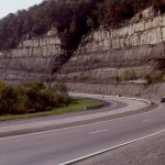
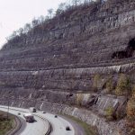
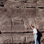
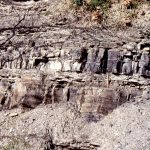
Prodelta siltstone – mudstone overlain by distributary mouthbar sandstone, near Pikeville Kentucky.


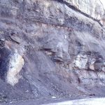
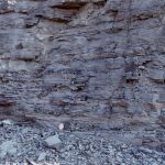
Prodelta mudrocks, with a few thin fine-grained sandstone lenses. Pikeville, Kentucky.


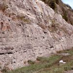
The frequency and thickness of sandstone beds increases towards the distributary mouth bar. Pikeville, Kentucky.


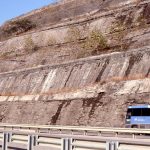
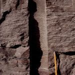
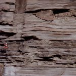
Laminated and thin-bedded fine sandstone, with a few crossbeds and ripples that may indicate mouth-bar deposition above wave base.  Pikeville, Kentucky.


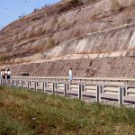
Thin, graded sandstone beds are more common in the transition from distributary mouth-bar to prodelta. Pikeville, Kentucky.


A late Cretaceous-Paleocene wave-dominated delta in the Canadian Arctic. Here coarsening- and bed thickening-upward units cycle through prodelta to slower shoreface, with abundant evidence of traction currents, including hummocky cross-bedding. Expedition Fm. Eureka Sound Group, Axel Heiberg Island.


Closer view of a coarsening-upward prodelta-shoreface cycle, Strand Fiord, Axel Heiberg Island. Hummocky cross-bedding occurs with associated with ripples, small sand waves, and current scours. The abrupt upper surface (top right) marks the beginning of transgression,with a maximum flood surface about 1m above.


Coarsening-upward cycles, from prodelta to lower delta plain, in an Eocene river-dominated delta, Axel Heiberg Island. Channel sandstone and thin overbank coals occur in the upper part of each cycle. Iceberg Bay Fm, Eureka Sound Group. The river-dominated system is separated from the earlier wave-dominated system by a 3rd-order transgression that influenced deposition through the entire basin.

Small coarsening upward, shoreface cycle capped by coal, representing marine incursion of the min river-dominated delta. Eocene Iceberg Bay Fm, Axel Heiberg Island. Coal at the base of outcrop is the top of the preceding cycle.


Trough crossbedded fluvial channel, delta plain, in the Eocene Iceberg Bay Fm. Ellesmere Island


Panorama of multiple fluvial channel-swamp-bog coal cycles composing the main Eocene delta plain, Iceberg Bay Fm, Axel Heiberg Island.


Late Miocene, lacustrine prodelta (base) to distributary channel-bar facies, Ridge Basin. Ridge Basin is a strike-slip basin wrenched by the San Gabriel fault strand of the San Andreas transform. The delta, on one side of the basin, is equivalent to the Violin Breccia that formed continuously along the active faulted margin.


Prodelta to channel and mouth-bar sandstone, Late Miocene Ridge Basin, California.


Trough crossbedded channel and pebble lags, lacustrine delta plain, Ridge Basin California.


Late Miocene delta top, channel – mouth-bar sandstone, lacustrine delta, Ridge Basin, California.  Interfingering pebble and cobble bands in the left image were derived from the Violin Breccia

Crossbedded delta top sandstone, Ridge Basin California.

Facebooktwitterlinkedininstagram
Facebooktwitterlinkedin